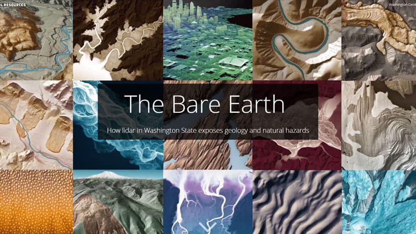
Maps We Love: The Bare Earth
See how using lidar in ArcGIS Pro can reveal geology and natural hazards such as landslides and volcanic activity in Washington State.
See how using lidar in ArcGIS Pro can reveal geology and natural hazards such as landslides and volcanic activity in Washington State.
With Amazon AppStream 2.0, you can stream ArcGIS Pro from the cloud.
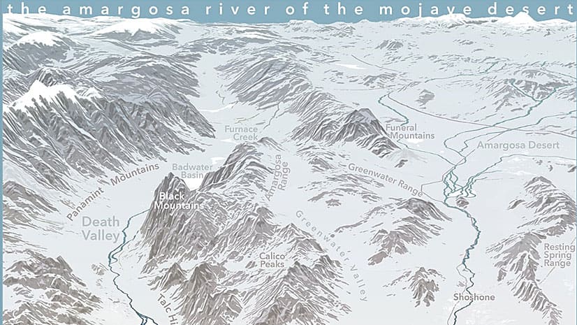
Esri cartographer John Nelson walks you through how to craft a stunning vintage-style poster of Yellowstone National Park.
In Utah, knowing where and when the wildlife travel reduces the chance that planes will strike pelicans and vehicles will hit moose and deer.
Get tips on how to use ArcGIS Pro and Adobe Photoshop to create a map that expresses the feeling of a location.
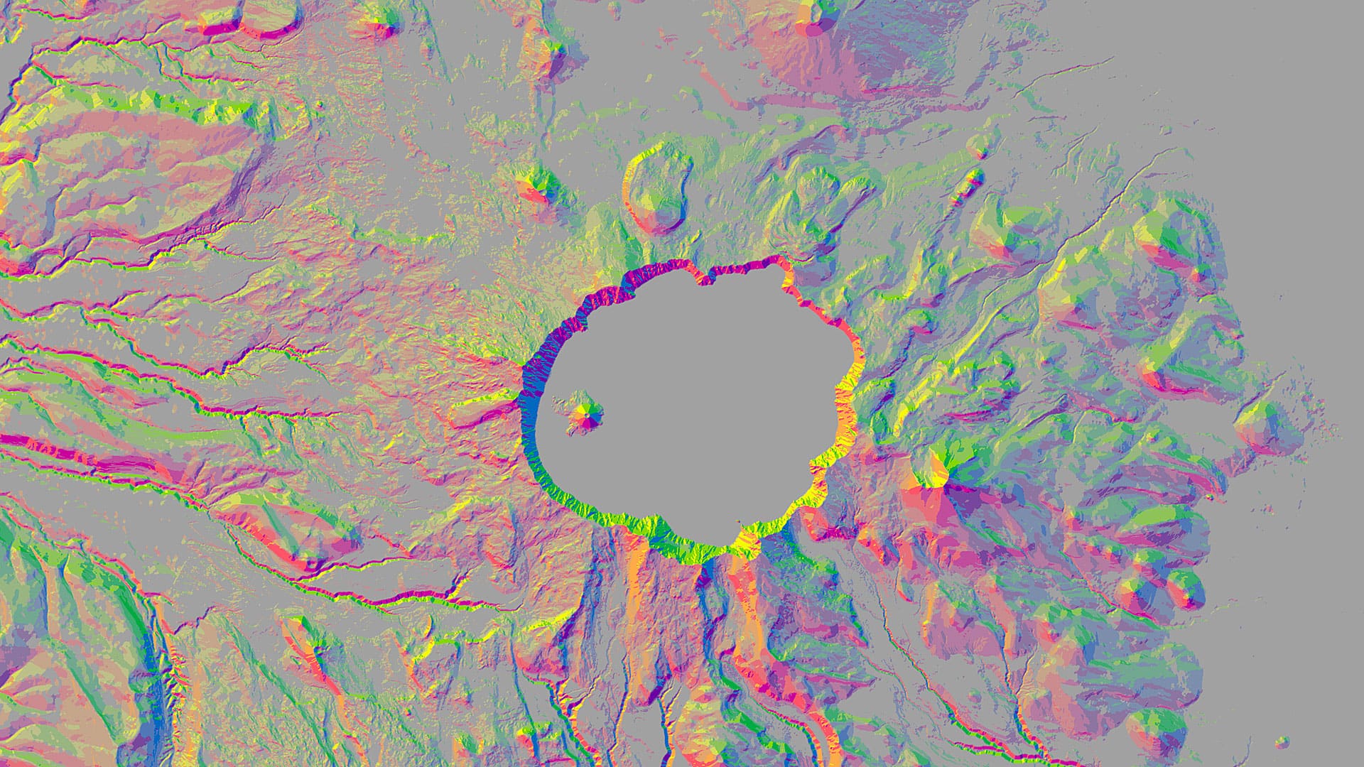
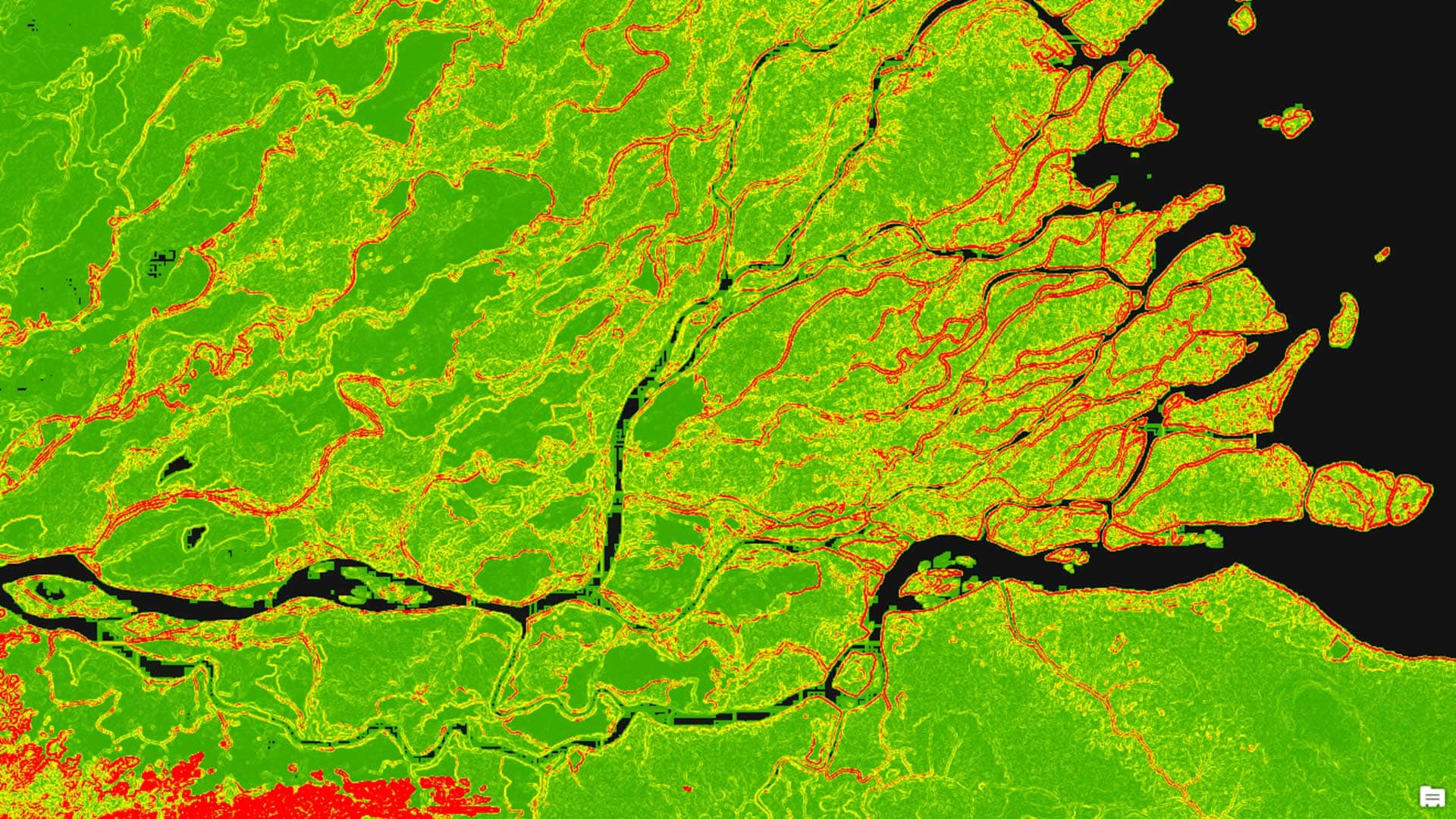
You can use aspect-slope maps to identify landscape features such as ridges or predict fire risk. Learn how to make one using ArcGIS Pro.
Livia Betancourt Mazur experimented with creative styles, finally using the George Washington style to make a map of the University of Minnesota.
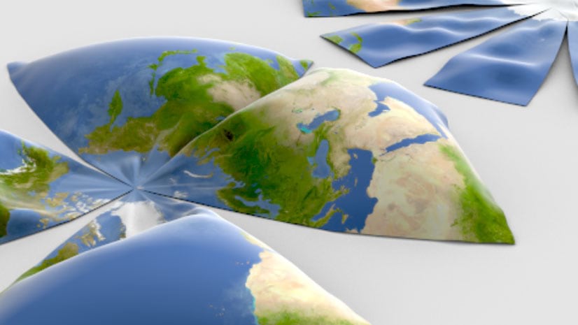
From Aitoff to Winkel Tripel, here are 68 map projections that you can use in your maps created using Esri ArcGIS 10.7.1 or ArcGIS Pro 2.4.
If you have a current ArcGIS Pro license, please join the early adopter program and try out some cool new features in the latest version of Pro.
Learn how to work with the Terrain layer, a versatile raster elevation layer that's available from the ArcGIS Living Atlas of the World.
Kyle Bauer of Esri walks you through the process of creating a network dataset from street centerline data.
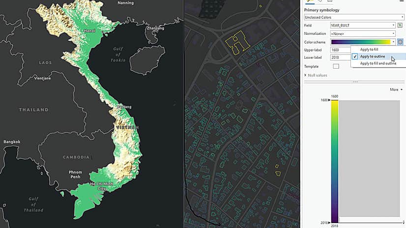
ArcGIS Pro includes some fantastic new labeling capabilities to suit your map, features, and individual mapping elements.