Use Blank Basemaps from ArcGIS Living Atlas of the World
Cartographer John Nelson from Esri introduces you to the totally blank basemap. Two choices are available from ArcGIS Living Atlas of the World.
Cartographer John Nelson from Esri introduces you to the totally blank basemap. Two choices are available from ArcGIS Living Atlas of the World.
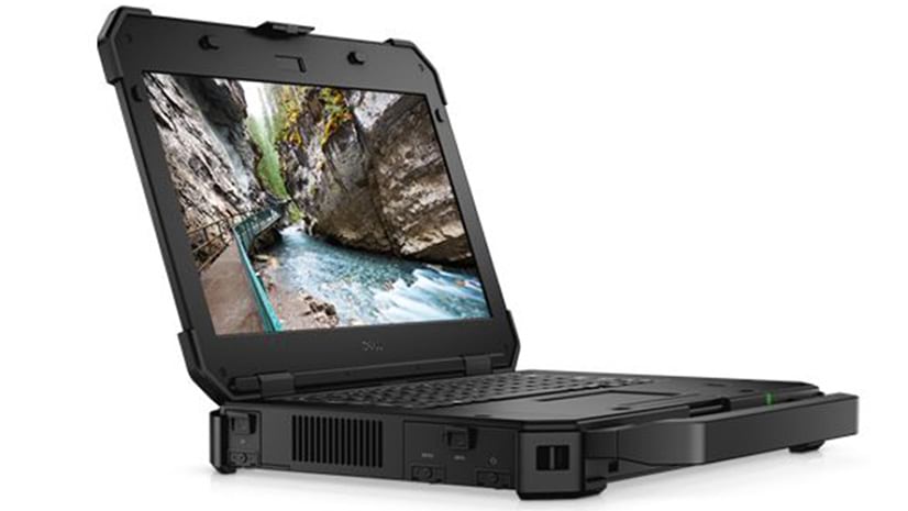
Configure or upgrade your GIS by packaging ArcGIS with a Dell Workstation or Rugged Tablet.
Naftali Honig from African Parks talks about how conservation intelligence can protect animals from poachers.
How many staffed hospital beds are there per capita in what medical officials call ideal hospitals? A story map by Esri's John Nelson shows you.
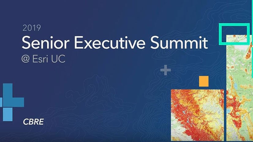
Tahirah Mahan Thomas from CBRE demonstrates a location intelligence tool that her company created to assist its real estate clients.
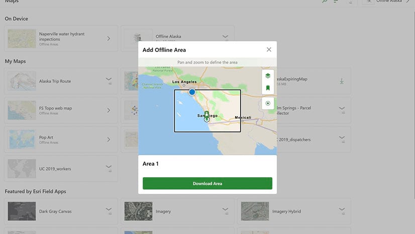
Carry digital maps anywhere by taking your web maps offline in Explorer for ArcGIS on Android, iOS, or Windows 10 devices.
Learn to use the erase geoprocessing tool in ArcGIS Pro and data from ArcGIS Living Atlas of the World to make a map of your area of interest.
Robert D. Sharp, director of the NGA, speaks about his agency's roles, goals, and challenges with Esri' president Jack Dangermond.
Esri technology evangelist Bern Szukalski shows you how to build your first web experience with ArcGIS Experience Builder.
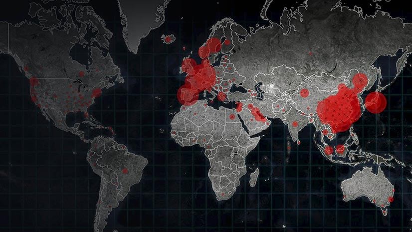
Esri cartographer Kenneth Field has some cartographic advice for people authoring maps that show the spread of COVID-19,
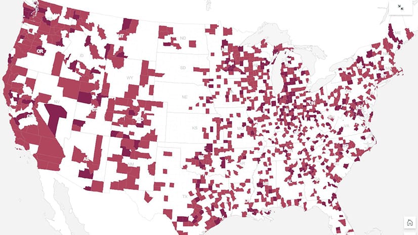
GIS departments throughout the United States can provide their organization valuable information about the spread of COVID-19 as cases rise.
Esri cartographer Mark Harrower showcases interesting examples of animated maps and lists what questions to ask yourself before you make one.