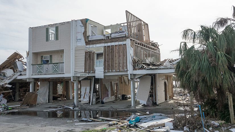
Mapping Damage from Hurricane Michael
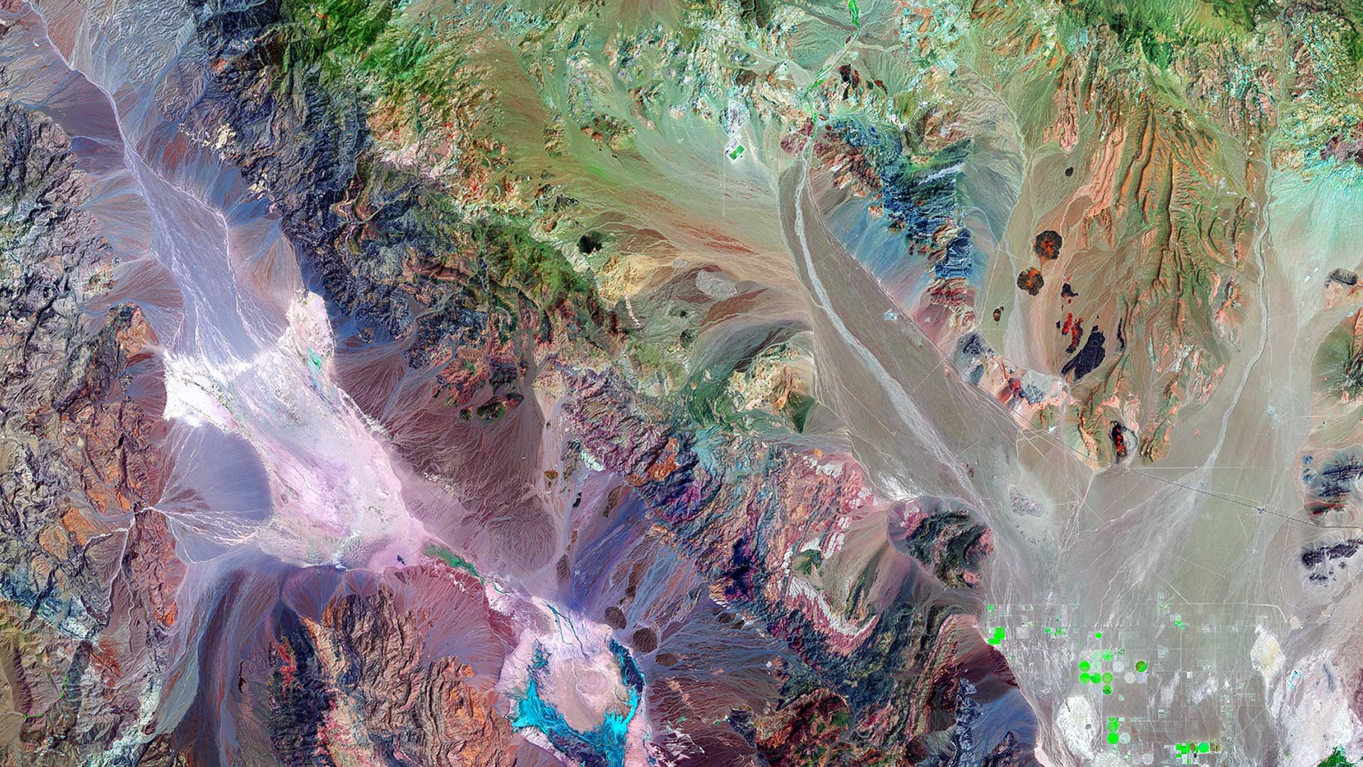
Geospatial Insurance Consortium captured imagery after a hurricane and processed and converted the images into usable maps using Esri technology.
Geospatial Insurance Consortium captured imagery after a hurricane and processed and converted the images into usable maps using Esri technology.
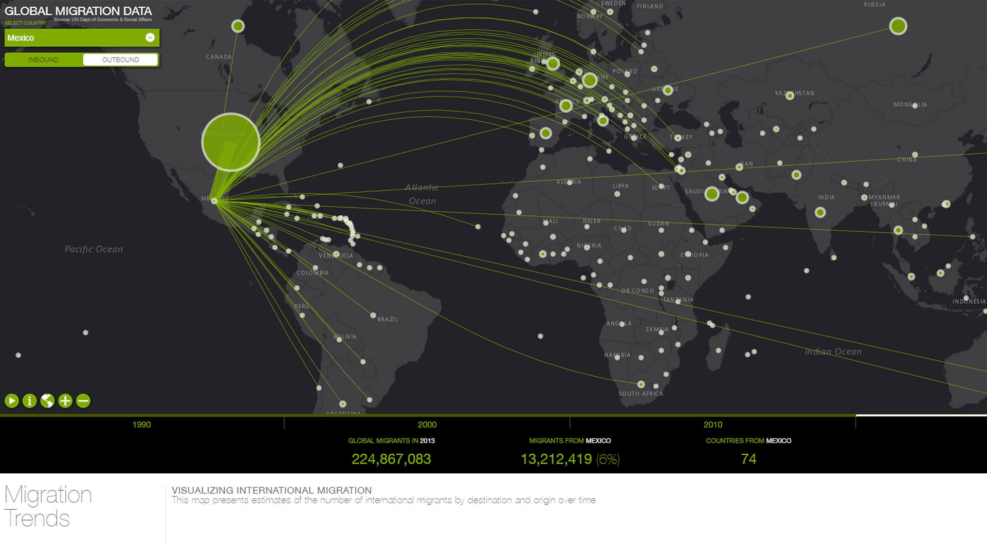
Lee Bock from Esri used Esri Leaflet to create an interactive map of where the yummy ingredients for his salad came from.
Esri cartographer John Nelson walks through how to use ArcGIS Pro to map the population in the United States who are vulnerable to COVID-19.
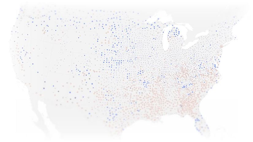
ArcGIS Online and ArcGIS Living Atlas of the World provide cloud-based tools and content that make it easy to analyze spatial demographic data.
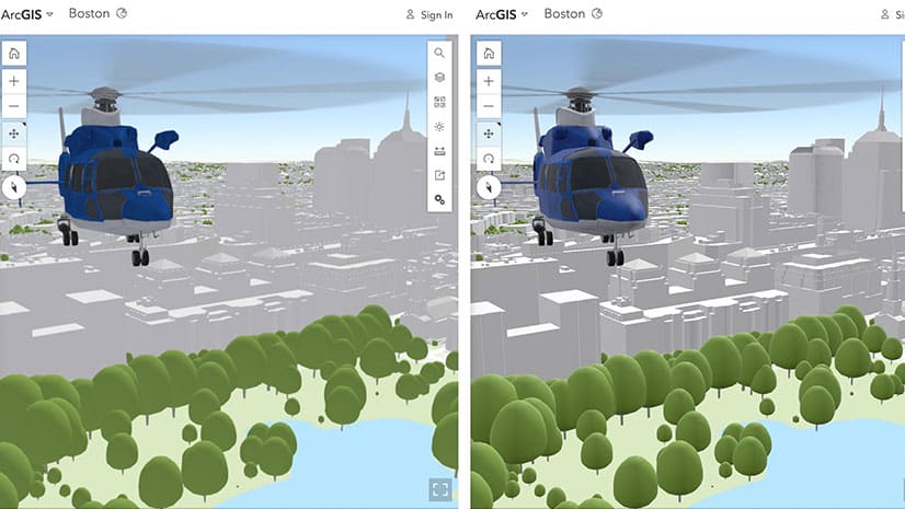
Learn about the latest improvements to Scene Viewer, which gives you the ability to author realistic and beautiful 3D scenes in applications.
Ron Jarmin, deputy director of the U.S. Census Bureau, explains the importance of the decennial census and how GIS plays a crucial role in it.
In this one-minute map hack, John Nelson from Esri teaches you how to add elevation hillshade to your map without washing the colors out.
A cycling organization in Québec, Canada, maps mountain bike trails using ArcGIS QuickCapture and GNSS receivers from Eos Positioning Systems.
Frank Avila from NGA talks about the agency's interest in AI, the growth of the small satellite market, and advances in hyperspectral imagery
Get technical know-how on how to develop your geospatial apps at the upcoming Esri Developer Summit in Palm Springs, California.
Color ramps were updated for the Map Viewer beta. You will find more than 300 color ramps in the Map Viewer, most being colorblind friendly.
Configure or upgrade your GIS by packaging ArcGIS with Dell products, including Dell servers, workstations, and laptops.