Students Take on Snow with GIS
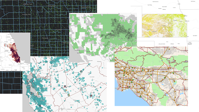
Students at Montana State University are using drone imagery and ArcGIS technology to ensure their campus can withstand severe winter storms.
Students at Montana State University are using drone imagery and ArcGIS technology to ensure their campus can withstand severe winter storms.
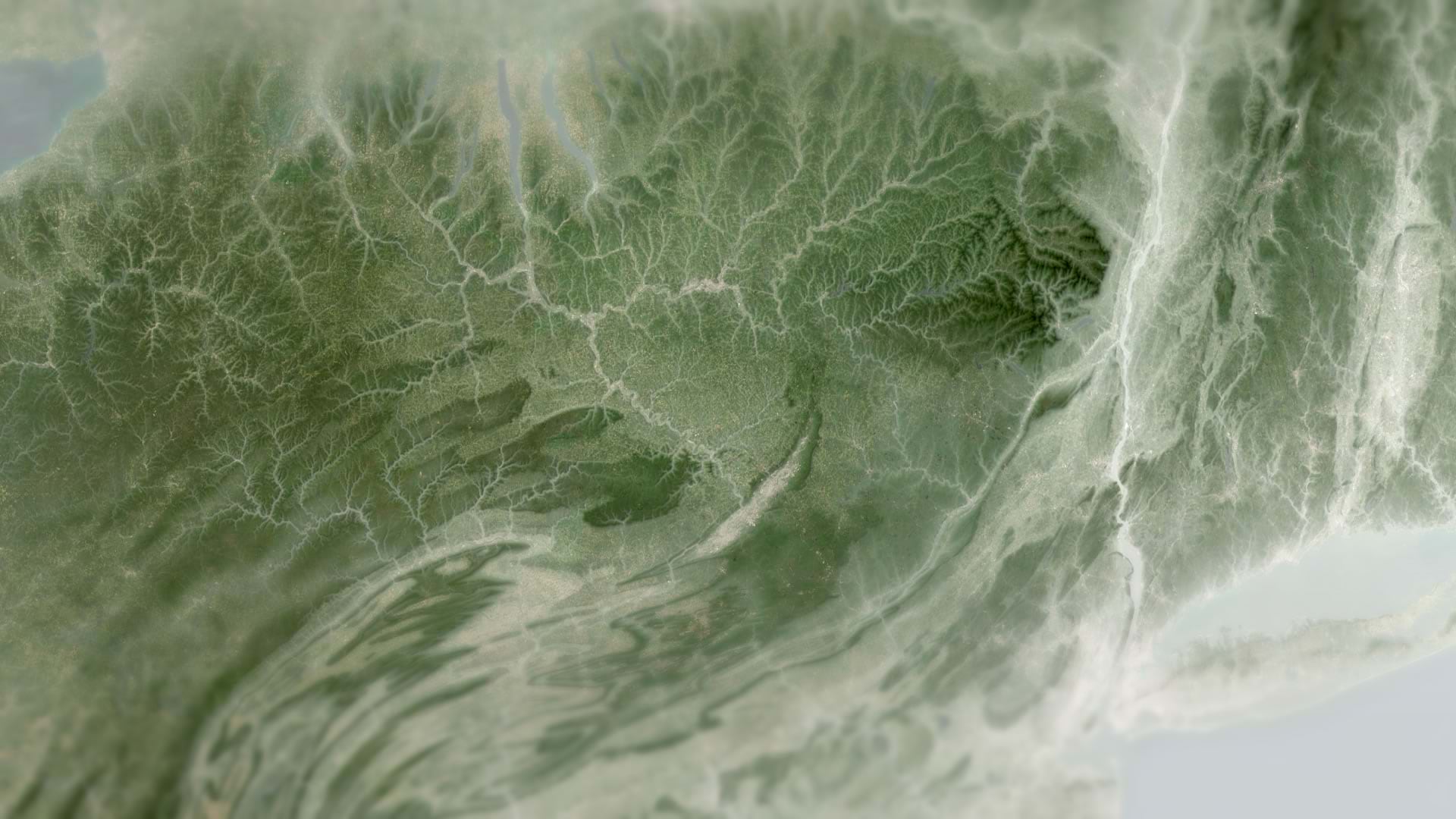
Draping your ArcGIS Online maps in a layer of mist can reveal information about terrain and elevation. Here's how to do it.
Understanding the difference between saving a layer and saving a map is key to building a modern web GIS.
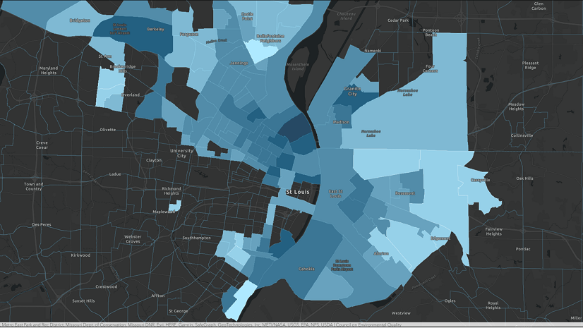
Take a closer look at the most disadvantaged American communities and study their socioeconomic context using Tapestry profiles.
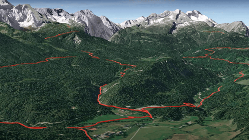
Watch this video to get started with 3D visualization in ArcGIS Online using Scene Viewer.
Check out these ten suggestions for resolutions to make your 2023 ArcGIS Online year even better.
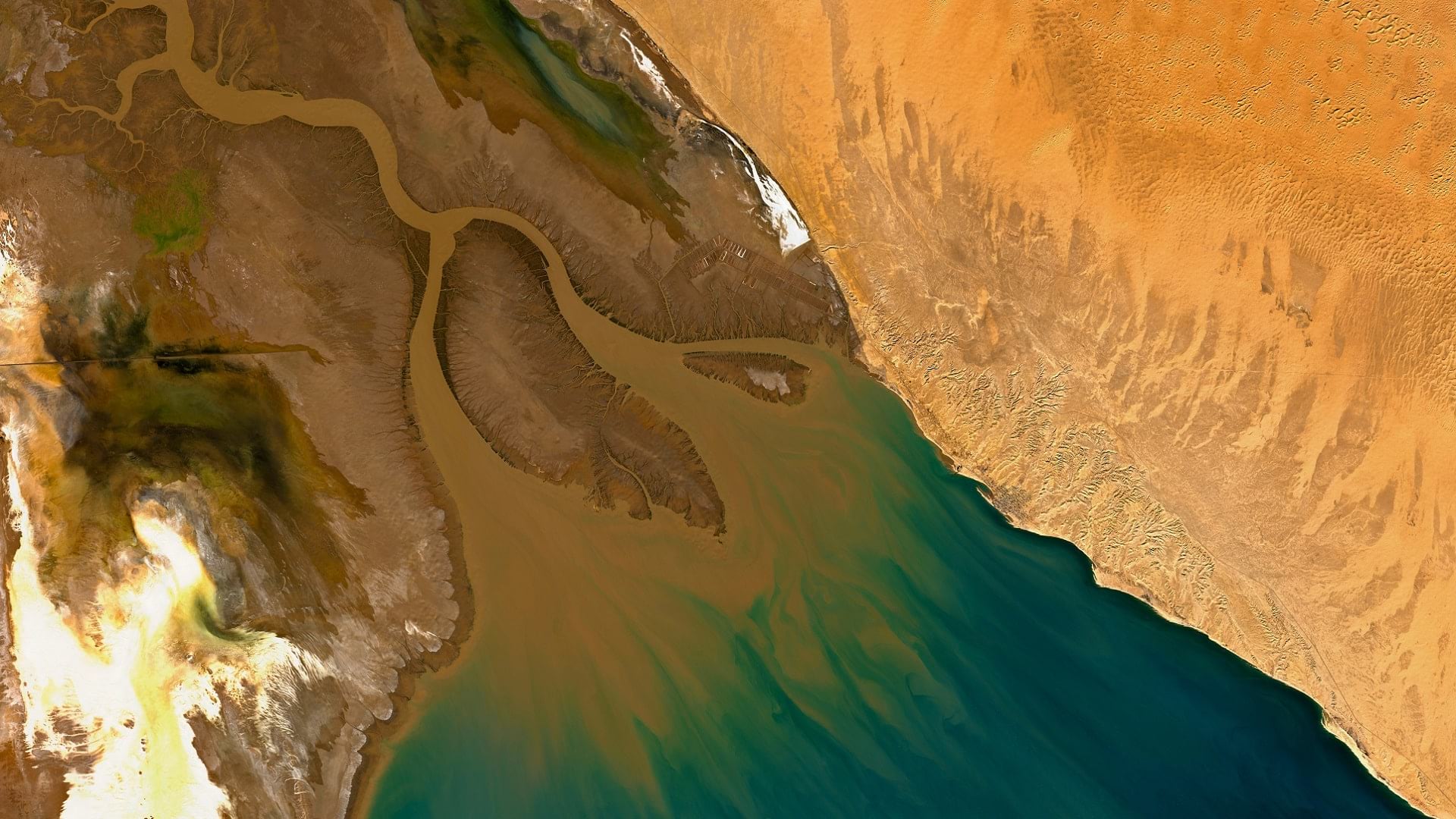
With imagery and remote sensing, the Audubon Society is working to preserve waterbird habitats in the Colorado River delta's largest wetland.
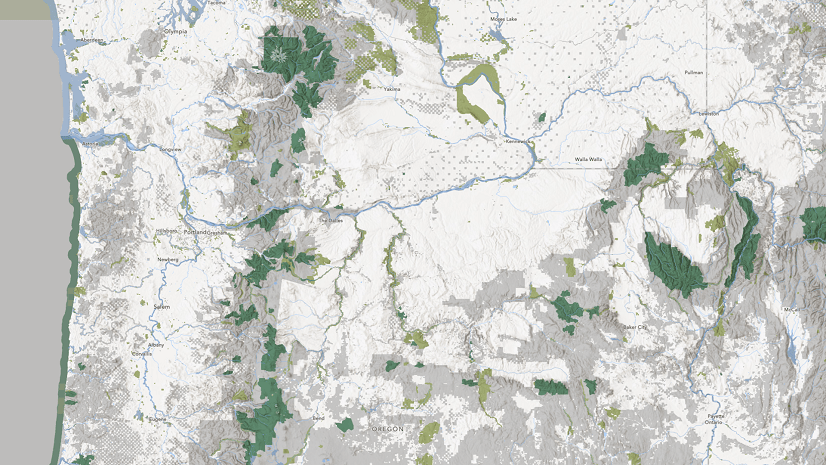
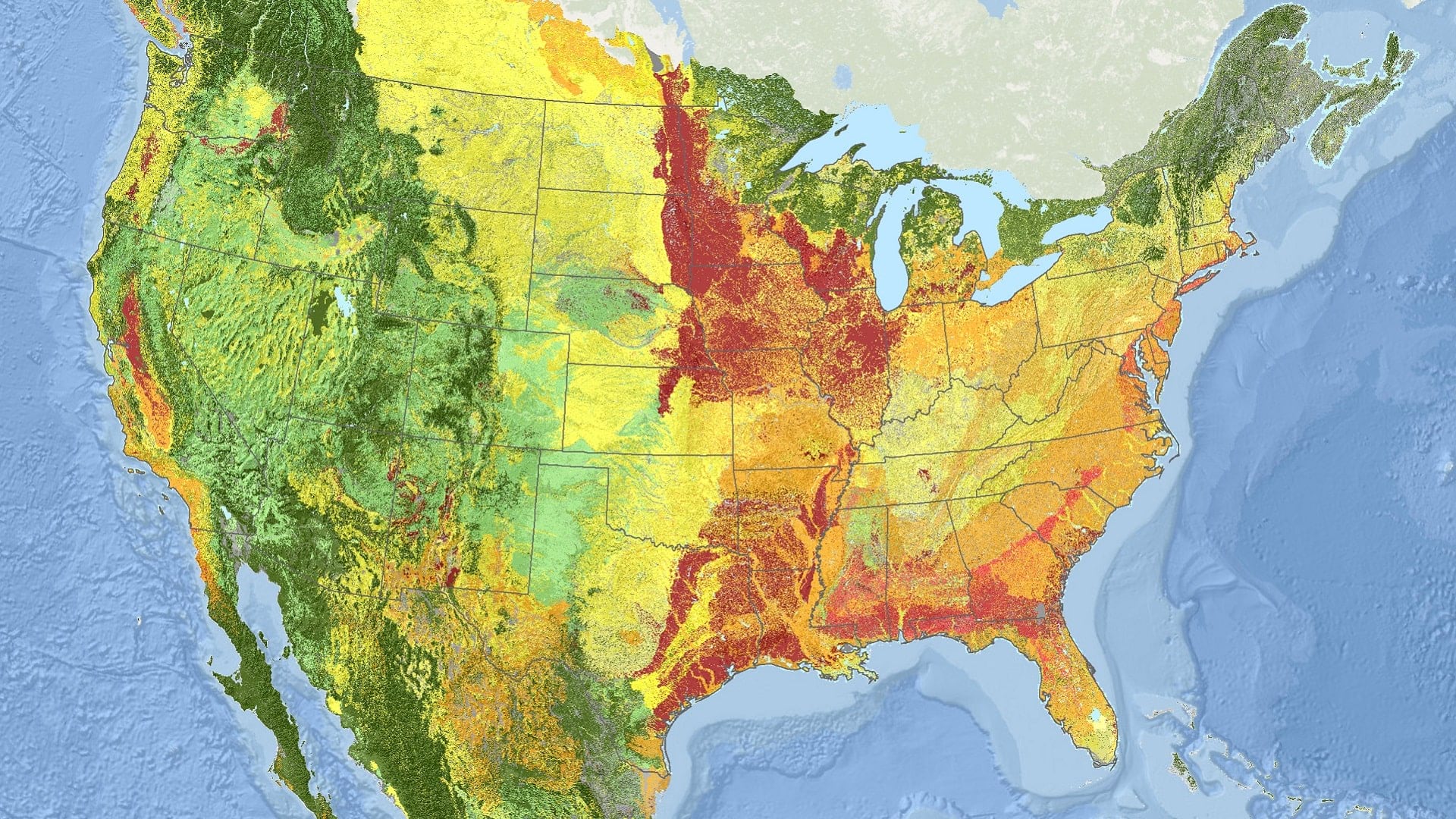
Using ArcGIS technology, NatureServe has applied a new standard for monitoring ecosystems at risk of collapse across North America.
ArcGIS Instant Apps and ArcGIS AppStudio are no-code solutions that allow you to create a web app and a native app with one configuration.
In this video, learn about the main types of layers supported in ArcGIS Online and what you can do with them.
Check out these ArcGIS Online tricks for summarizing and visualizing data on-the-fly with Arcade and Blend modes.
Water management in Montana has a new look—a publicly accessible web app that provides detailed streamflow data with ArcGIS technology.