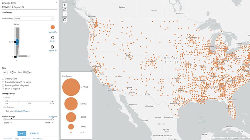
Clearly Communicate COVID-19 Information
Jim Herries, principal product engineer for cartography at Esri, shares cartographic tips for improving your organization’s COVID-19 case maps.
Jim Herries, principal product engineer for cartography at Esri, shares cartographic tips for improving your organization’s COVID-19 case maps.
Cartographer John Nelson from Esri introduces you to the totally blank basemap. Two choices are available from ArcGIS Living Atlas of the World.
Configure or upgrade your GIS by packaging ArcGIS with a Dell Workstation or Rugged Tablet.
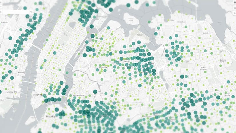
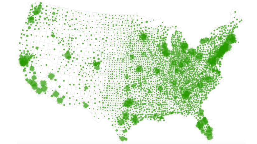
Esri cartographer John Nelson shows you how to apply graduated sizes and colors to symbols in your ArcGIS Online maps.
Naftali Honig from African Parks talks about how conservation intelligence can protect animals from poachers.
Working from home and want to connect with other GIS pro? At GeoNet, you can ask questions about ArcGIS, share information, and collaborate.
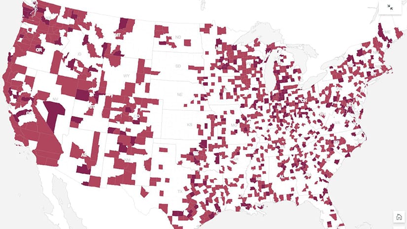
How many staffed hospital beds are there per capita in what medical officials call ideal hospitals? A story map by Esri's John Nelson shows you.
Numerous geodesign projects, including one to make a US Air Force base more climate resilient, were presented at the Geodesign Summit.
Get a two-minute overview of Scene Viewer in ArcGIS Online, which gives you the ability to visualize and analyze 2D and 3D information.
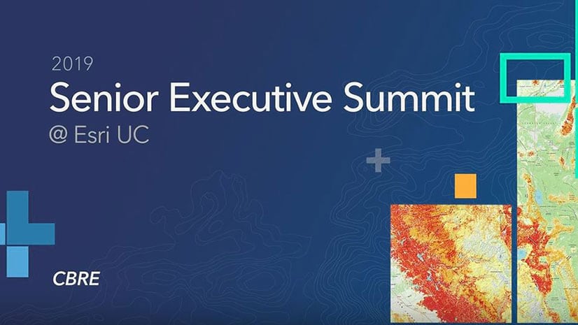
Tahirah Mahan Thomas from CBRE demonstrates a location intelligence tool that her company created to assist its real estate clients.
Esri cartographer John Nelson demonstrates how turn custom graphics into symbols for your maps in both ArcGIS Pro and ArcGIS Online.
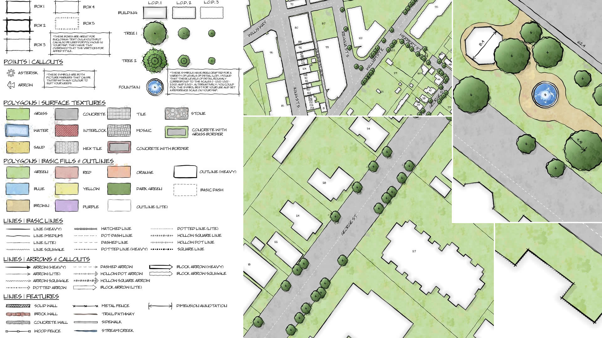
GIS analyst Warren Davison of Ontario, Canada, created Draft Sketch, a very artistic n ArcGIS Pro style for landscape design and site planning.