Better Metadata for World Imagery
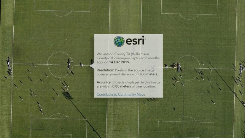
An update in World Imagery provides pop-ups that only return the metadata for the imagery visible within your area of interest.
An update in World Imagery provides pop-ups that only return the metadata for the imagery visible within your area of interest.
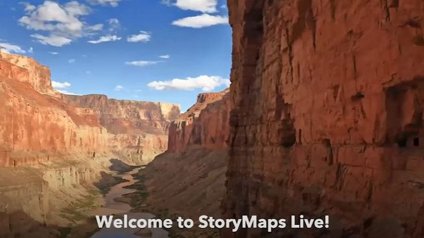
Representatives from the Grand Canyon Trust talked about the ArcGIS StoryMap they created called The Voices of Grand Canyon.
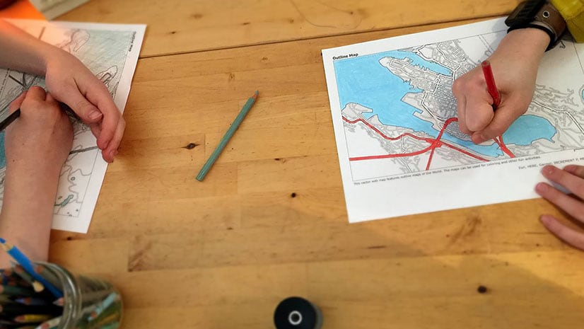
The new book Lindsey the GIS Professional is a perfect read for children who want to learn about mapping.
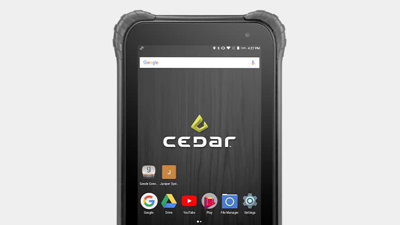
The Cedar CT8 provides high accuracy GNSS capabilities for collecting and communicating data using ArcGIS field apps.
The City of Seattle created a Web GIS app that maps eateries offering takeout, curbside, and delivery services during the COVID-19 pandemic.
Create maps that represent individuals, houses, or anything else you can count, with the dot density mapping style in the Map Viewer beta.
Esri president Jack Dangermond will host a virtual Esri User Conference from July 13-16, 2020.
Rather than shoo your kids out of your home office while telecommuting, ask them to work on a GIS project with you during your spare time.
Starting with data and points on a map, a young entrepreneur grows her lemonade stand business using location intelligence.
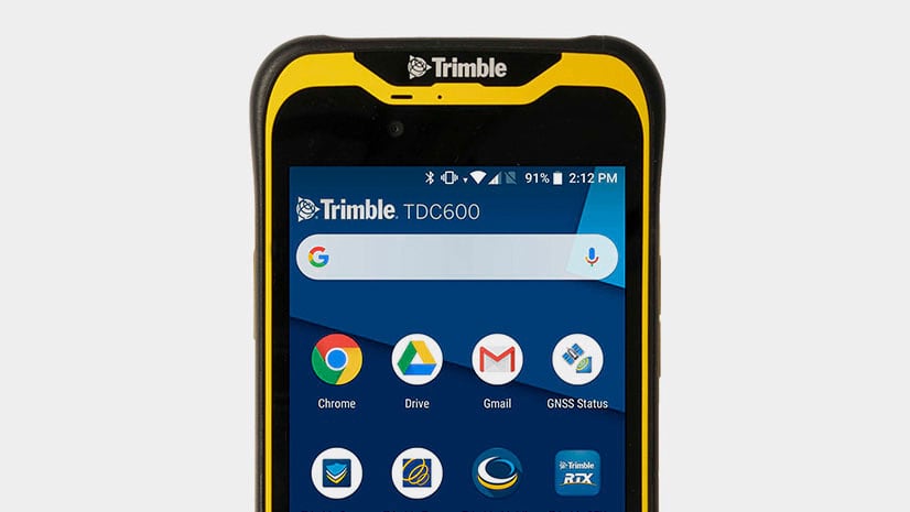
Esri offers US customers the Trimble TDC600, a rugged smartphone with a built-in professional GNSS receiver that supports Esri field apps.
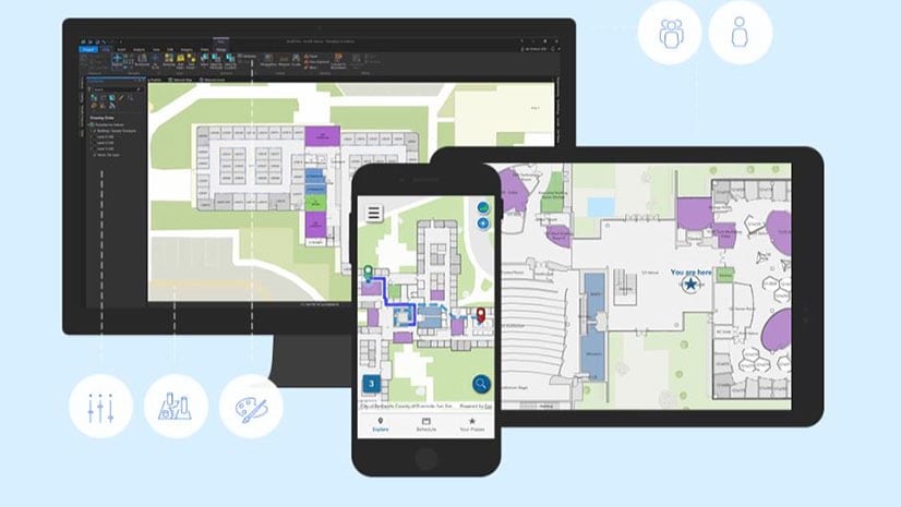
Esri product engineer Jason Hine explains the app development basics for ArcGIS Indoors, Esri’s indoors mapping system.
Joseph Kerski, an Esri education manager, makes a case for teaching ethics during GIS courses and using GIS to do it.