Take a Spatial Analysis Course Online
Discover how spatial analysis differs from other kinds of data analysis during Going Places with Spatial Analysis, a six-week online course.
Discover how spatial analysis differs from other kinds of data analysis during Going Places with Spatial Analysis, a six-week online course.
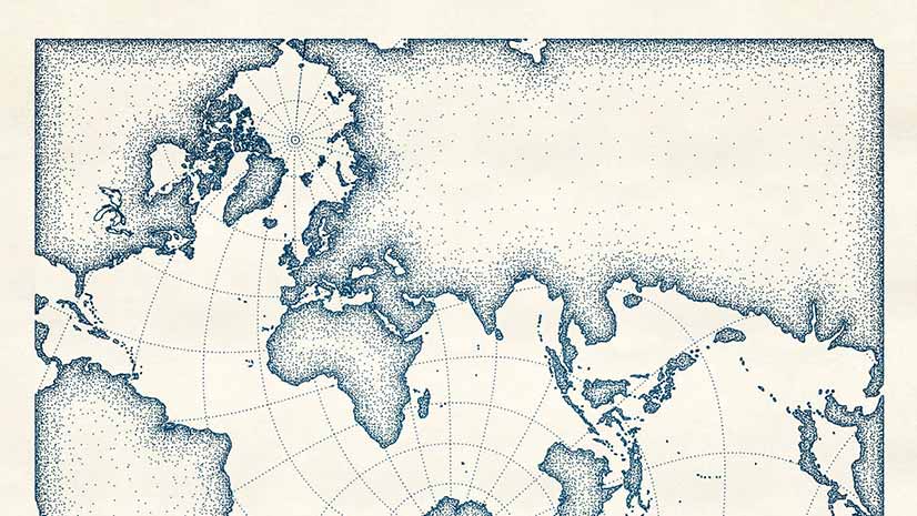
Create a digital map that looks like it was drawn with pen and ink using the new pen and ink style created for ArcGIS Pro.
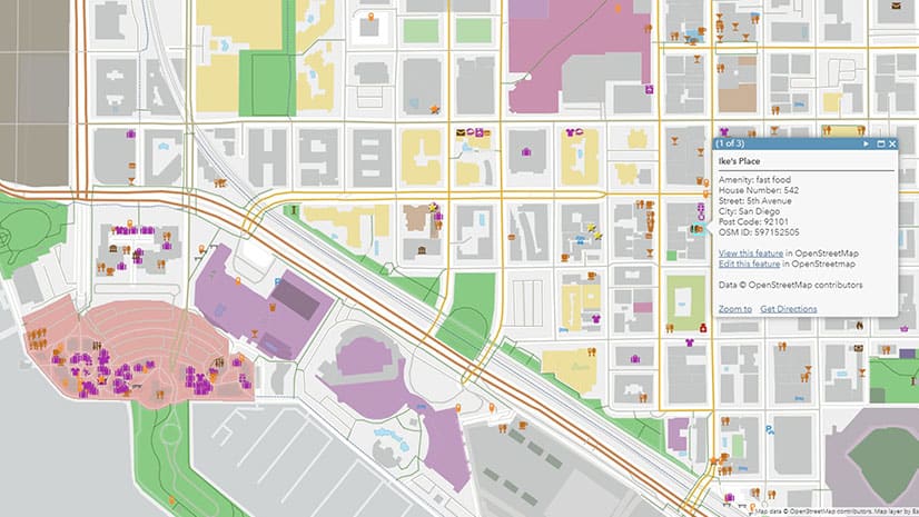
Esri will soon introduce a new set of feature layers, available in ArcGIS Online, that offer access to the latest OpenStreetMap (OSM) data.
To learn about the insights GIS will give us in this challenging new era, tune into a replay of the Esri User Conference Plenary Session.
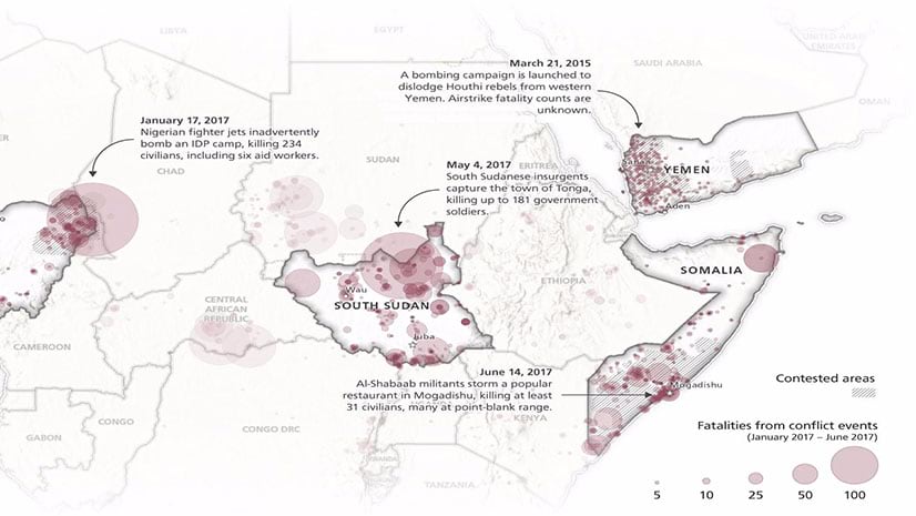
As maps have switched from static paper items to digital conversations, you need to think about how interactive to make your maps.
Learn to work with analysis tools in ArcGIS during the six week course Spatial Data Science: The New Frontier in Analysis starting this fall.
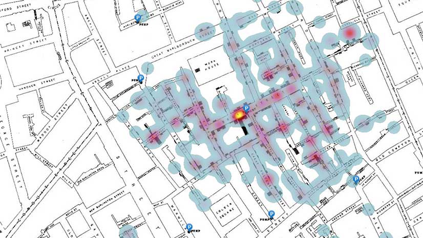
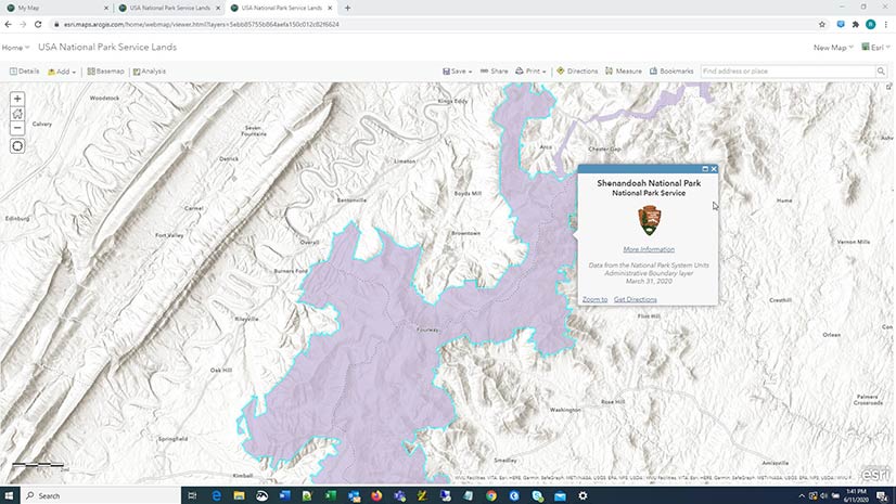
In this ArcGIS Learn lesson, you will remap Dr. John Snow's cholera outbreak data from 1854 in ArcGIS Online.
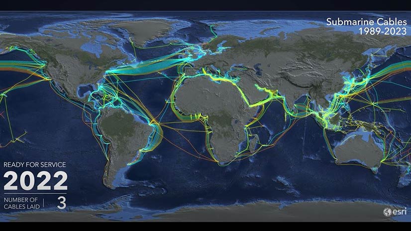
View an animated map of the worldwide system of underwater cables that carry telephone and Internet traffic.
Rich Nauman from the Esri environment team offers great advice on how to best convey information in your maps.
Esri president Jack Dangermond gave a talk at the 2020 Geodesign Summit about how science and geodesign can help create a sustainable future.
Try out the beta version of ArcGIS Field Maps., the new premier maps app for iOS and Android devices.
What type of projects do the people at Esri work on and why are they so passionate about what they do?