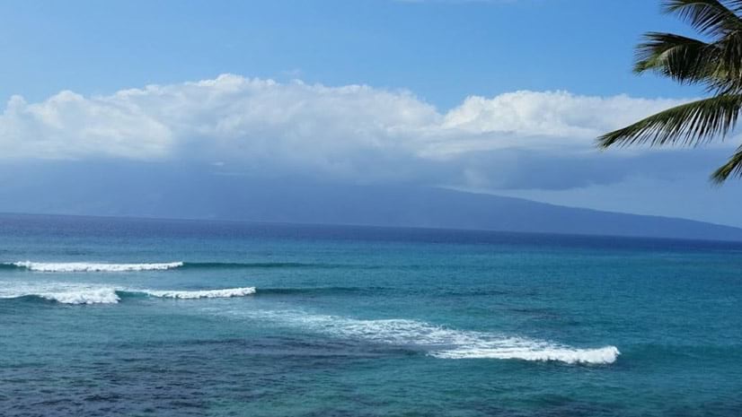
Enter the ArcGIS StoryMaps Challenge for Restoring Our Ocean
High school and college students, along with individuals ages 18-24, are invited to enter the ArcGIS StoryMaps Challenge for Restoring Our Ocean.
High school and college students, along with individuals ages 18-24, are invited to enter the ArcGIS StoryMaps Challenge for Restoring Our Ocean.
Esri technology evangelist Bern Szukalski shows you how to customize the item gallery in your profile in ArcGIS Online.
Make a map of the route of the Colonial Pipeline, which experienced a cyberattack this year, using ArcGIS Living Atlas of the World content.
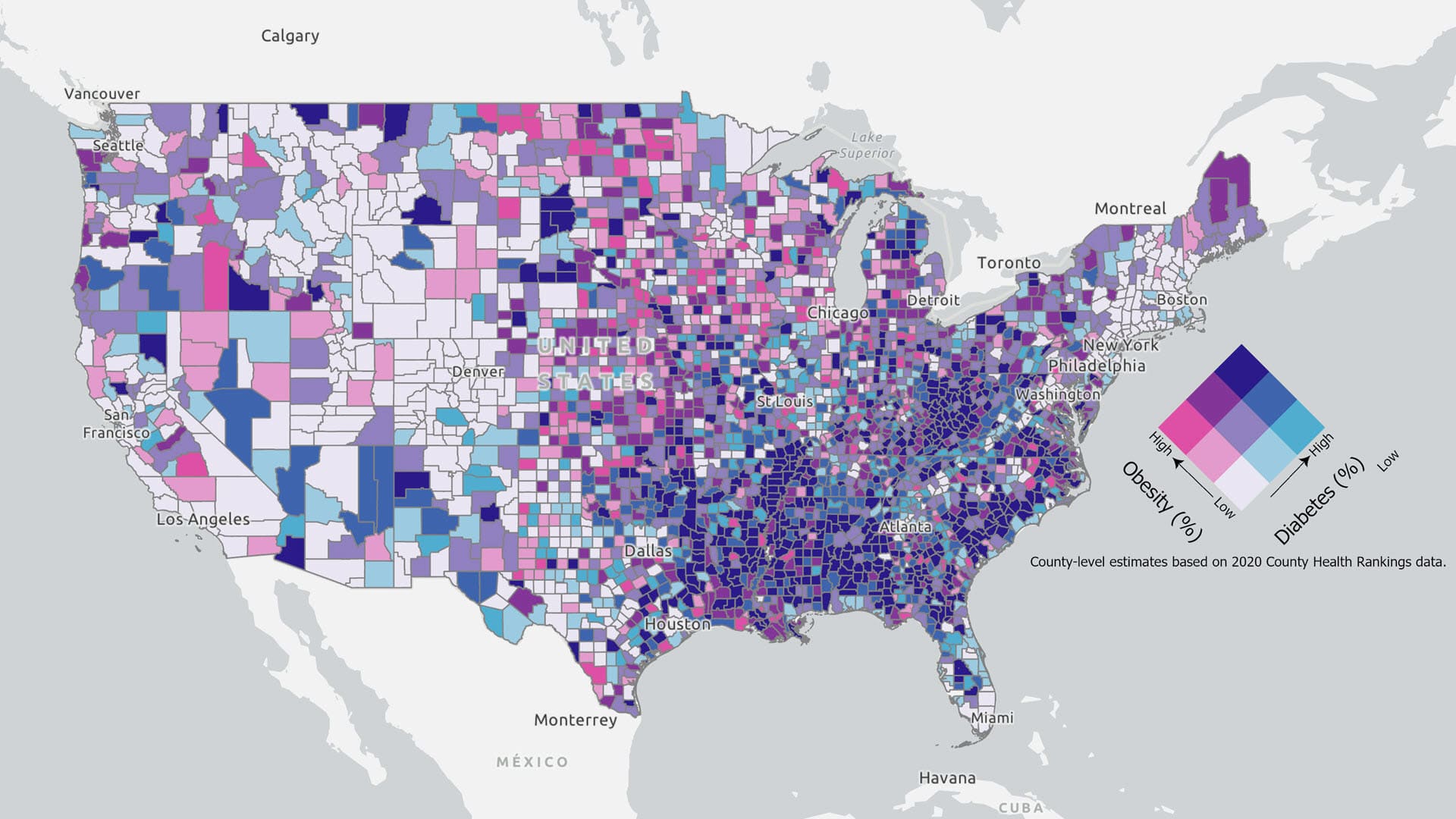
Esri cartographic researcher Aileen Buckley walks you through the process of customizing a legend for a bivariate colors map.
In the free e-book, Extend the Reach of Your GIS, you will Learn to quickly configure your ArcGIS Online organization using best practices.
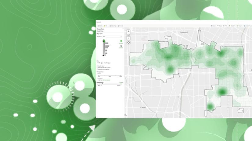
Gachina Landscape Management in Silicon Valley uses GIS to map its clients' irrigation information, which saves water, time, and money.
Explore, visualize, clean and prepare your data with the new Data Engineering view in ArcGIS Pro.
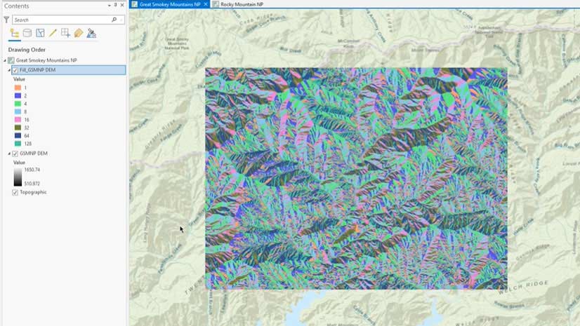
Esri instructor Tim Kinlaw shows you a quick and easy way to create a raster function template in ArcGIS Pro.
Get started with spatial analysis and ArcGIS Online by taking the free massive open online course (MOOC), Going Places with Spatial Analysis.
The new ArcGIS StoryMaps timeline block gives you the ability to add chronological information, with images if desired, to your stories.
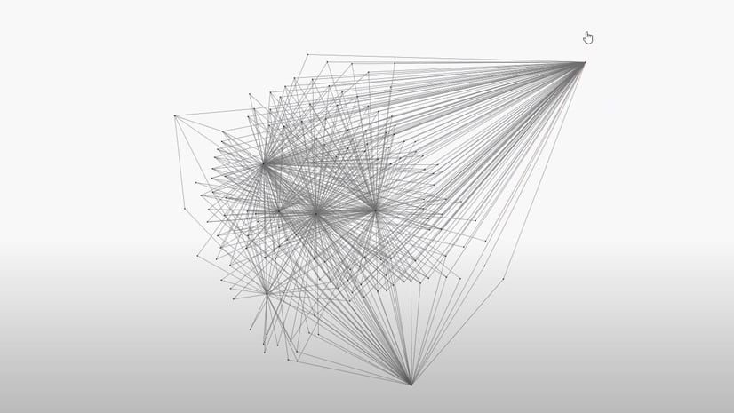
Learn about the new features and functionality in the latest version of ArcGIS Pro Intelligence—including updates for link analysis.
New ArcGIS Pro styles are available that emulate the thematic styles of the French engineer Émile Cheysson.