Evaluate the Changing Landscape in Ethiopia
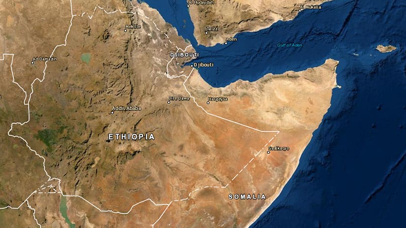
Use the Change Detection Wizard in ArcGIS Pro to analyze land cover change in Ethiopia, which is suffering from vegetation loss due to locusts.
Use the Change Detection Wizard in ArcGIS Pro to analyze land cover change in Ethiopia, which is suffering from vegetation loss due to locusts.
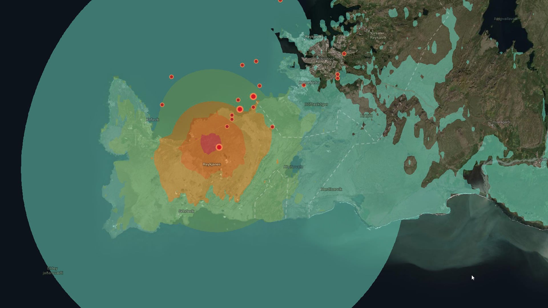
Discover the impact of earthquakes using some analysis tools in ArcGIS Online and content from ArcGIS Living Atlas of the World.
Spike is a laser measurement device from ikeGPS that boosts field productivity and data capture capabilities when used with ArcGIS.
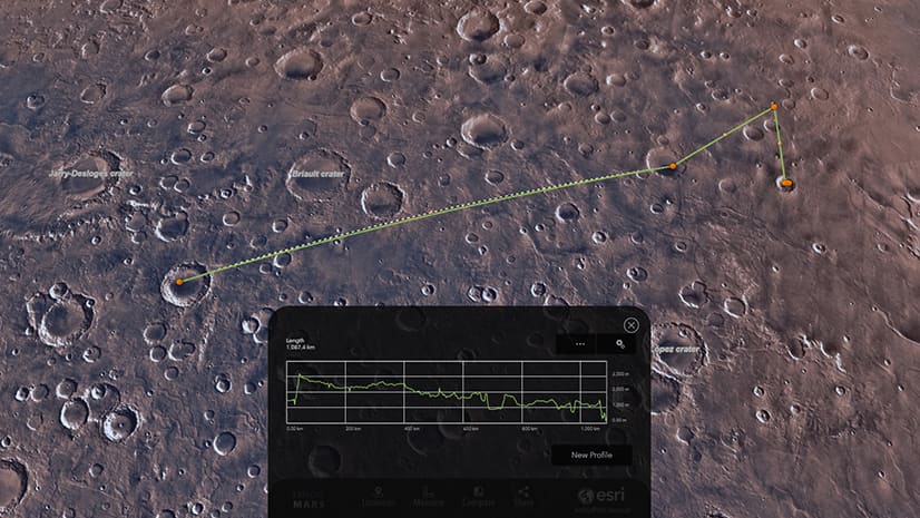
Explore the craters, canyons, and mountains on Mars using a custom 3D web app created with ArcGIS JavaScript API.
The Cow Creek Band of Umpqua Tribe of Indians launched the Tribal-Cultural Resource Information System (T-CRIS), which was created using ArcGIS.
Learn how to turn a basemap into a grayscale or monochrome basemap using ArcGIS Pro or MapViewer Beta in ArcGIS Online.
Location data recorded by ArcGIS Tracker or ArcGIS Field Maps can be turned into animations in ArcGIS Pro. Learn how to do this.
Esri cartographer John Nelson shows you a relatively easy way to make a size comparison map in ArcGIS Pro.
ArcGIS Living Atlas of the World content can be used to explore current events such as earthquakes.
Learn which image types ArcGIS StoryMaps supports and the best practices for using the image files.
ArcGIS Online Landsat image services will be updated this spring with Landsat Collection 2 imagery. Collection 1 imagery will be retired.
Learn about the latest ArcGIS Runtime release, including support for many online utility network workflows.