Crowdsourcing in Storytelling 101
Find out when it’s appropriate to add crowdsourced data to a map and see how ArcGIS StoryMaps authors use crowdsourced data in their projects.
Find out when it’s appropriate to add crowdsourced data to a map and see how ArcGIS StoryMaps authors use crowdsourced data in their projects.
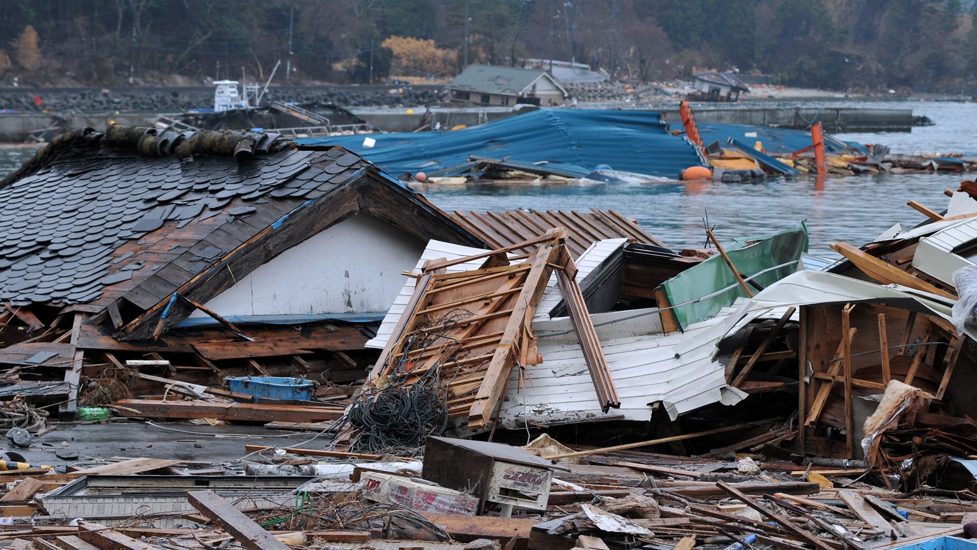
Take a look back at the Tōhoku earthquake and tsunami in Japan and see the new GIS technology you can use to analyze these types of events.
Learn to use ArcGIS Pro to create a complex line symbol and add an arrowhead to the end of the line to show direction.
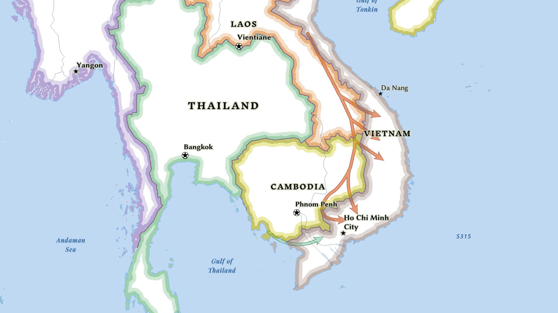
Learn how ArcGIS Online tools can be used to create a relationship map.
Cartographer John Nelson explains how to create a side-by-side layout in ArcGIS Pro, comparing the same location at two different points in time.
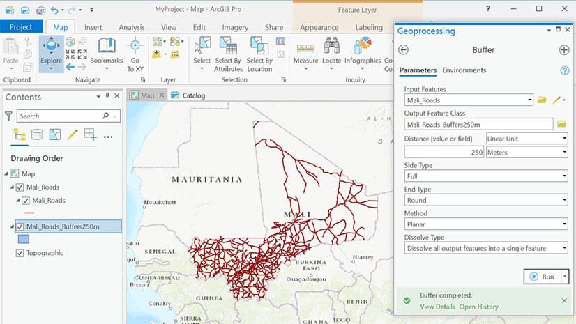
Travis Ormsby from shares a quick trick to script an ArcGIS Pro geoprocessing task. He uses the Copy Python Command in ArcGIS Pro to do this.
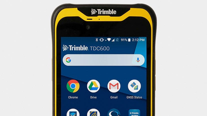
The Trimble TDC600 is an all-in-one rugged smartphone with a built-in professional GNSS receiver that supports Esri field apps.
Esri cartographer John Nelson demonstrates how to make a hillshade with a pebbly look.
Find out who won the 2020 ArcGIS StoryMaps Competition and see their stories.
The Geodesign Summit highlighted sustainable projects such as the multi-billion dollar Meridian Water housing and jobs development in London.
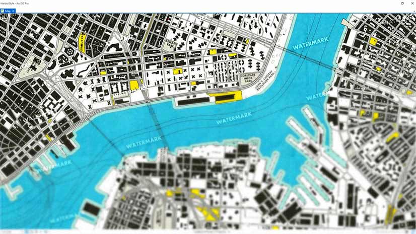
Learn how to create watermarks using Microsoft Paint or PowerPoint and add them to your ArcGIS Pro Map. Watermarks protect your map.
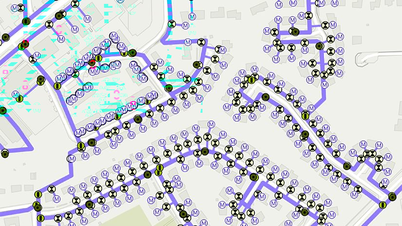
Learn how to ensure an accurate enterprise GIS database while enabling multiple staff members to edit data at the same time.