On Call
The City of Sacramento integrated ArcGIS with Salesforce in its 311 system, giving users the ability to track the progress of incident reports.
The City of Sacramento integrated ArcGIS with Salesforce in its 311 system, giving users the ability to track the progress of incident reports.
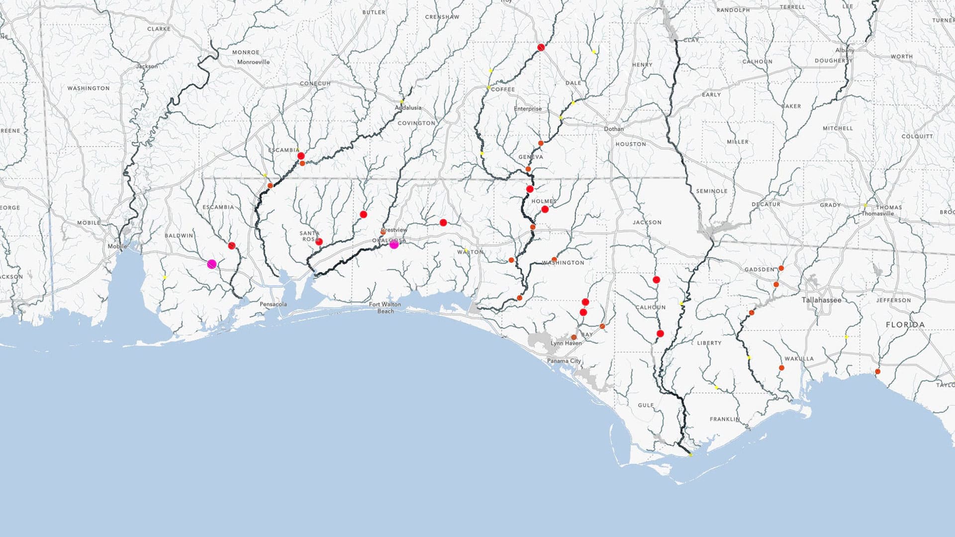
The global professional services company GHD uses ArcGIS Survey123 from Esri to collect data on rockfall hazards along a railway in Australia.
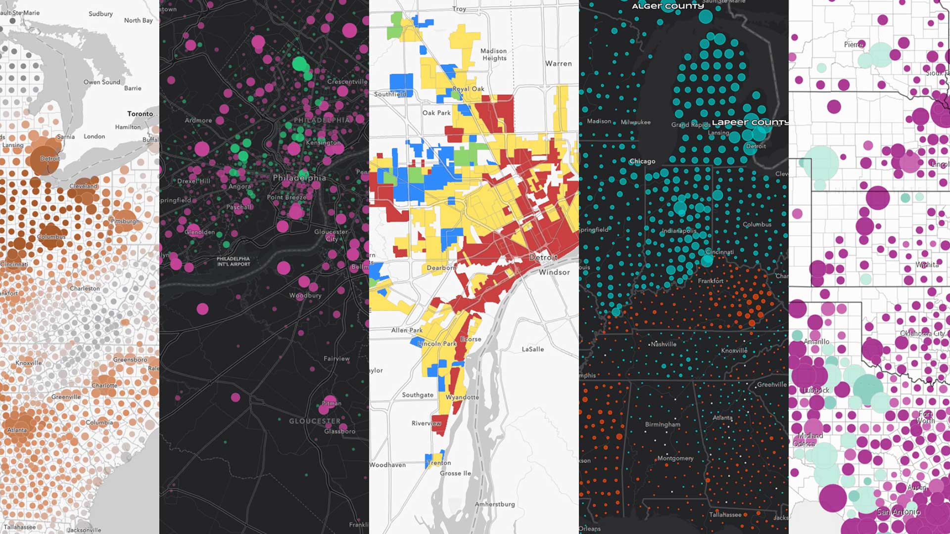
With the release of ArcGIS Pro 2.6 and Map Viewer Beta, you can now publish your own 2D symbols to ArcGIS Online using web styles.
Michigan State University used ArcGIS technology to streamline its litter management system on its sprawling 2,000-acre campus in East Lansing.
Esri technology evangelist Bern Szukalski uses content from the Living Atlas to show you how you can make your own flood map in a minute.
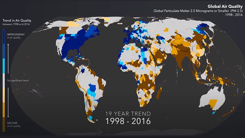
See worldwide air quality data mapped over a period from 1998 through 2016 and see where air quality improved and worsened.
Esri introduced a slick new immersive experience in ArcGIS StoryMaps called explorer map tour. Mark Harrow of Esri shows you how it works.
With the climate changing, what can be done to better manage and protect forests from destructive megafires?
With the updated Media Map configurable app in ArcGIS Online, you can use the express setup to create and embed maps within minutes.
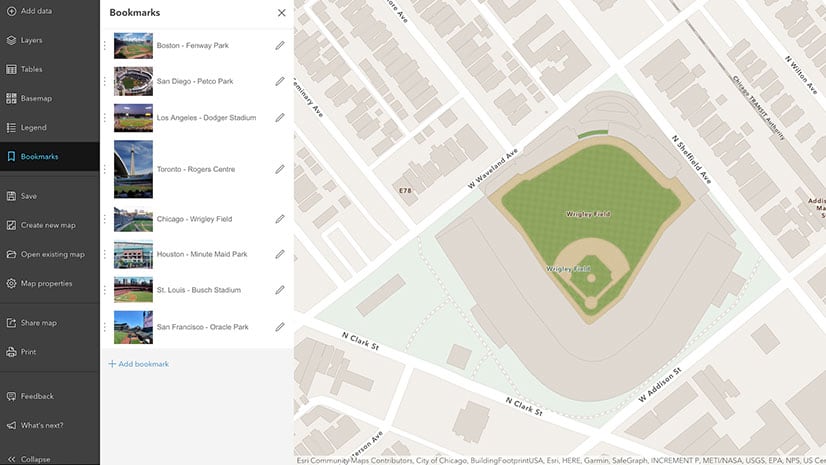
In Map Viewer Beta, you can now edit the extent, scale, and rotation of the bookmark and set a thumbnail on each bookmark in your web maps.
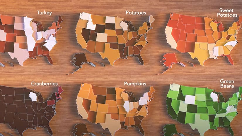
An animated map shows where the sweet potatoes; green beans; potatoes; pumpkins; and turkey that Americans eat on Thanksgiving are grown.
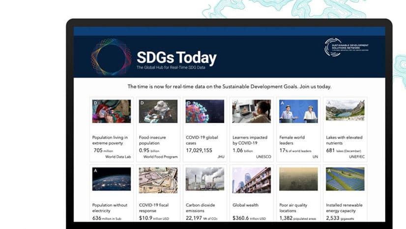
You have until November 25, 2020, to enter the ArcGIS StoryMaps Competition for Sustainable Development Goals (SDGs).