ArcGIS Indoors is Now in ArcGIS Online
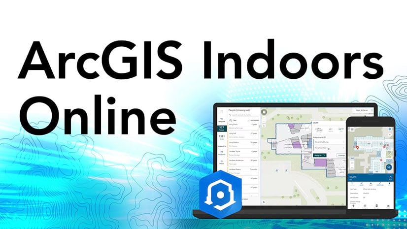
ArcGIS Indoors is now available as a software as a service (SaaS) offering in ArcGIS Online. ArcGIS Indoors also added a new Space Planner app.
ArcGIS Indoors is now available as a software as a service (SaaS) offering in ArcGIS Online. ArcGIS Indoors also added a new Space Planner app.
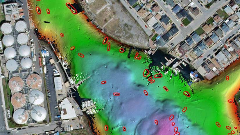
Deep learning tools in ArcGIS Pro were used to automate the task of detecting shipwrecks from bathymetric data of Jamaica Bay, New York.
Teachers and parents who want to help children use GIS can learn mapping and teaching techniques by watching Mapping Hour videos.
Get a quick summary of the new capabilities in the latest ArcGIS release.
Learn how to predict areas that will be vulnerable to coral bleaching using ArcGIS Pro and ArcGIS image Analyst extension for ArcGIS Pro.
ArcGIS API for JavaScript recently began to support high-quality, scalable vector symbols in 2D MapView instances. See what you can do with them.
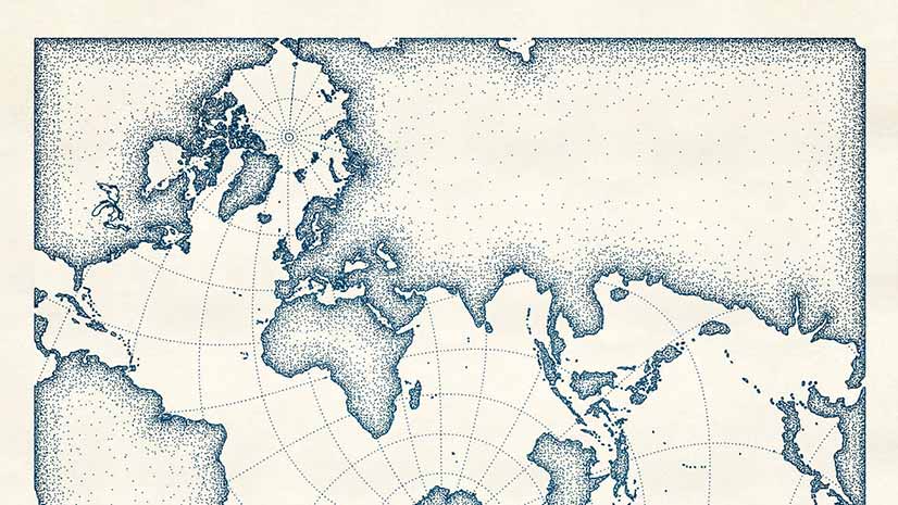
Create a digital map that looks like it was drawn with pen and ink using the new pen and ink style created for ArcGIS Pro.
Create story maps about special places you have visited and share your adventures with Esri.
A Canadian city used ArcGIS and GNSS receivers from Eos Positioning Systems, Inc., to map social distancing signs in parks and on trails.
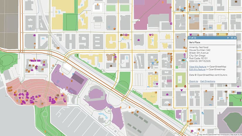
Esri will soon introduce a new set of feature layers, available in ArcGIS Online, that offer access to the latest OpenStreetMap (OSM) data.
Sidelined from regular duties due to the COVID 19 pandemic, a group of city of Sarasota employees took part in an innovative GIS project.
Mission Blue, founded by oceanographer Sylvia Earle, uses ArcGIS StoryMaps to showcase Hope Spots, marine areas in need of protection.