Tune in to the Mapping Hour
Teachers and parents who want to help children use GIS can learn mapping and teaching techniques by watching Mapping Hour videos.
Teachers and parents who want to help children use GIS can learn mapping and teaching techniques by watching Mapping Hour videos.
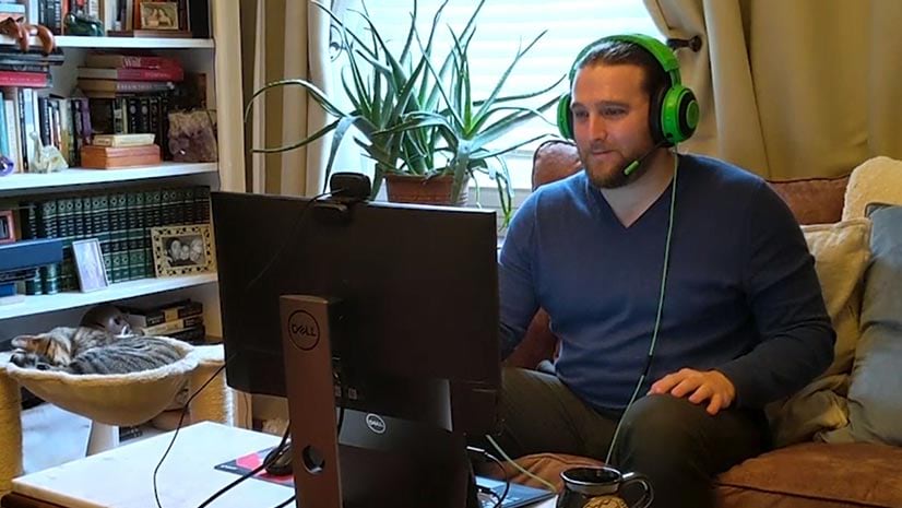
See what type of methods and capabilities Esri uses to teach classes virtually. Your host is Mike Flanagan, senior instructor.
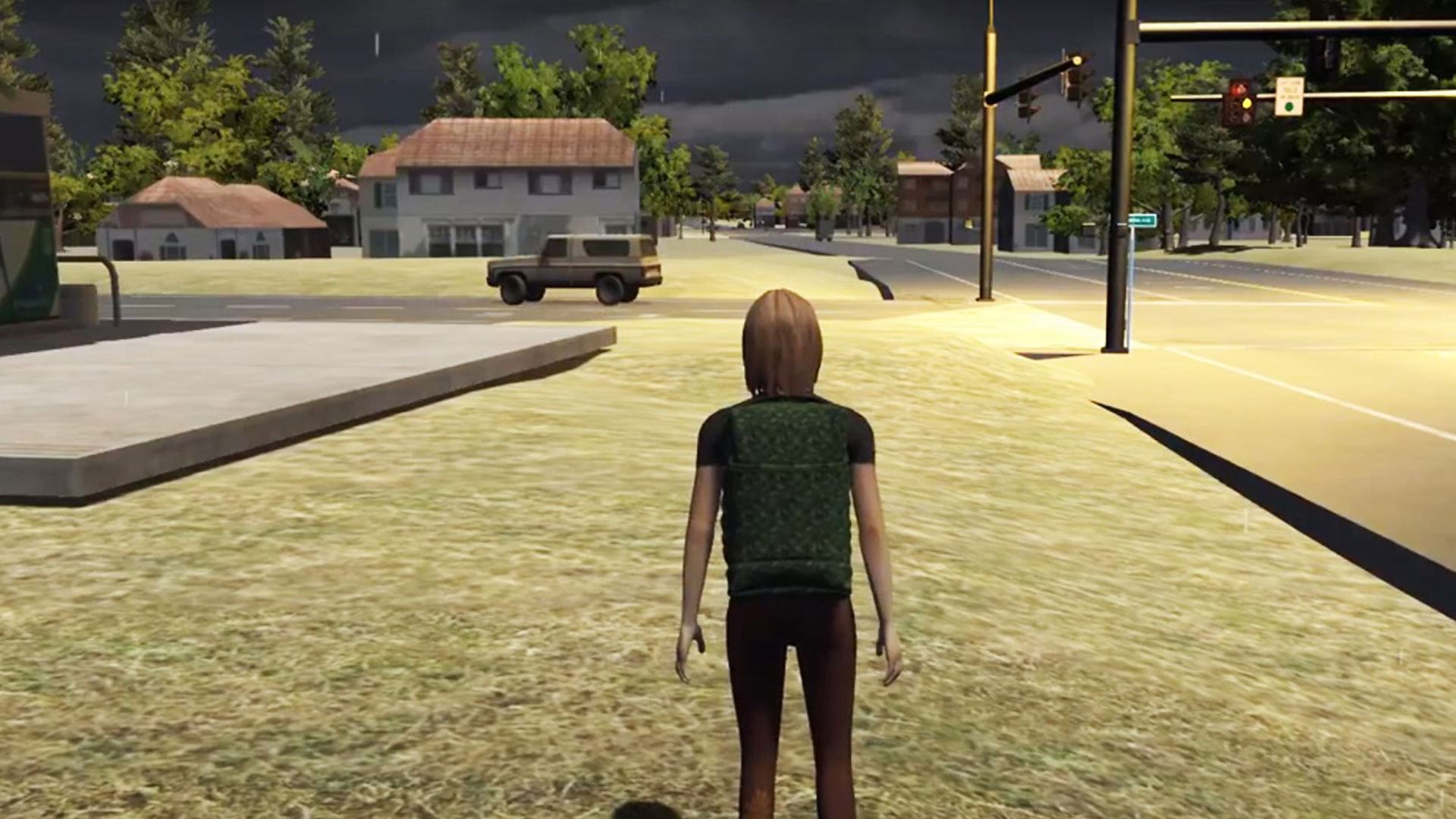
See how researchers at Rochester Institute of Technology (RIT) in New York used ArcGIS to create serious games for disaster response.
The new book Lindsey the GIS Professional is a perfect read for children who want to learn about mapping.
Due to current college and universities closures, Esri will temporarily provide student software licensing at no cost through Learn ArcGIS.
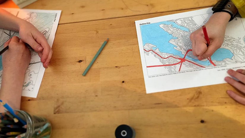
Rather than shoo your kids out of your home office while telecommuting, ask them to work on a GIS project with you during your spare time.
Starting with data and points on a map, a young entrepreneur grows her lemonade stand business using location intelligence.
Joseph Kerski, an Esri education manager, makes a case for teaching ethics during GIS courses and using GIS to do it.
Working from home and want to connect with other GIS pro? At GeoNet, you can ask questions about ArcGIS, share information, and collaborate.
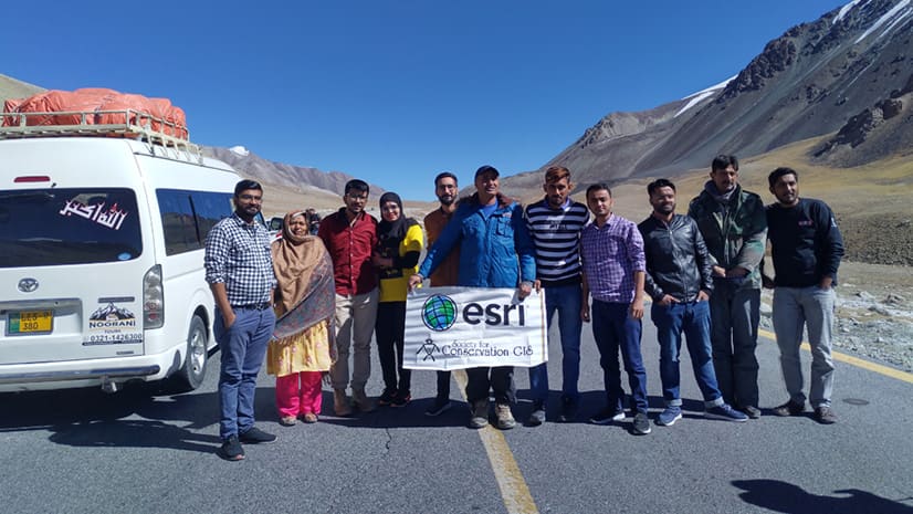
Get a taste of the more than 1,500 GIS Day events around the world by reading these inspiring stories.
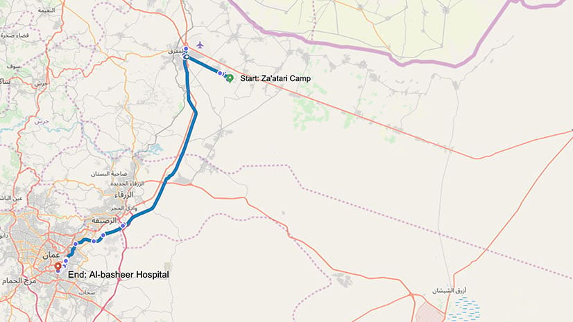
A group called RefuGIS taught Syrian refugees how to make story maps. One man used his new skills to talk about his ongoing cancer battle.
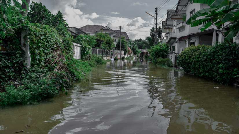
In a new Learn ArcGIS lesson, you will use ArcGIS Online to create and share a map that shows hurricane evacuation routes out of a city.