Get on Board
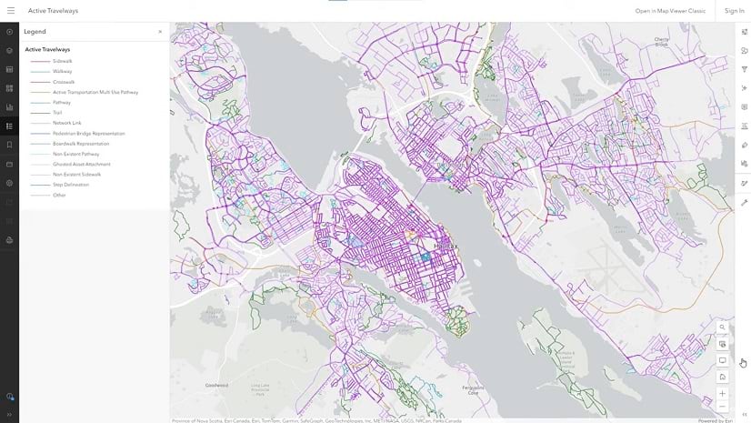
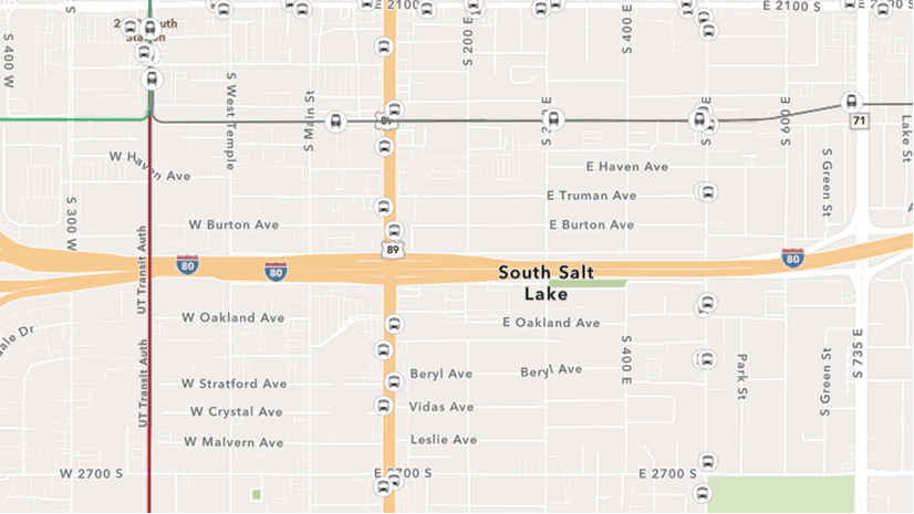
Learn about the new community maps based transit initiative launched at Esri.
Learn about the new community maps based transit initiative launched at Esri.
Learn to make a hurricane map in a minute using ArcGIS Online and ArcGIS Living Atlas of the World.
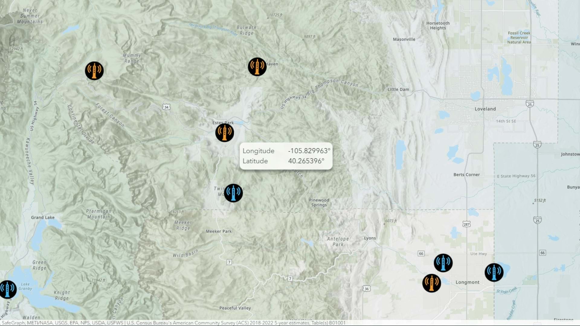
Learn how you can map a point with coordinates in ArcGIS Online using interactive tooltips.
The ArcGIS Living Atlas team publishes a lot of web layers. Here are some of their favorite tips and tricks for customizing your layers and maps.
Google Drive offers a way to store, share, and manage files. Here's how to use those files in ArcGIS Online.
By default, web maps in ArcGIS Online Map Viewer display in the Mercator map projection. But what if you want to use a different projection?
In this video, discover intuitive ways to visualize and navigate Map Viewer, empowering you to unlock the full potential of your spatial data.
Groups are a great way to organize content, and creating galleries or apps using groups is a great way to present that content.
One of the easiest ways to improve a map is to improve its legend. In this video, learn to create a clear legend in ArcGIS Online.
Get more precision while editing in ArcGIS Online using interactive tooltips to set your own editing constraints.
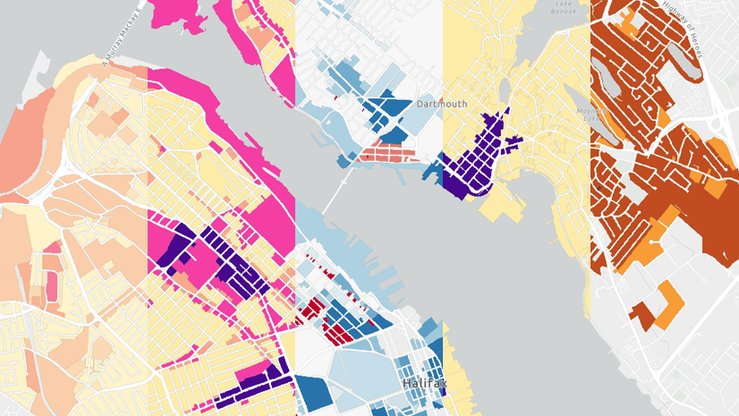
Tips and techniques for designing maps with the Counts and Amounts (color) style in Map Viewer.
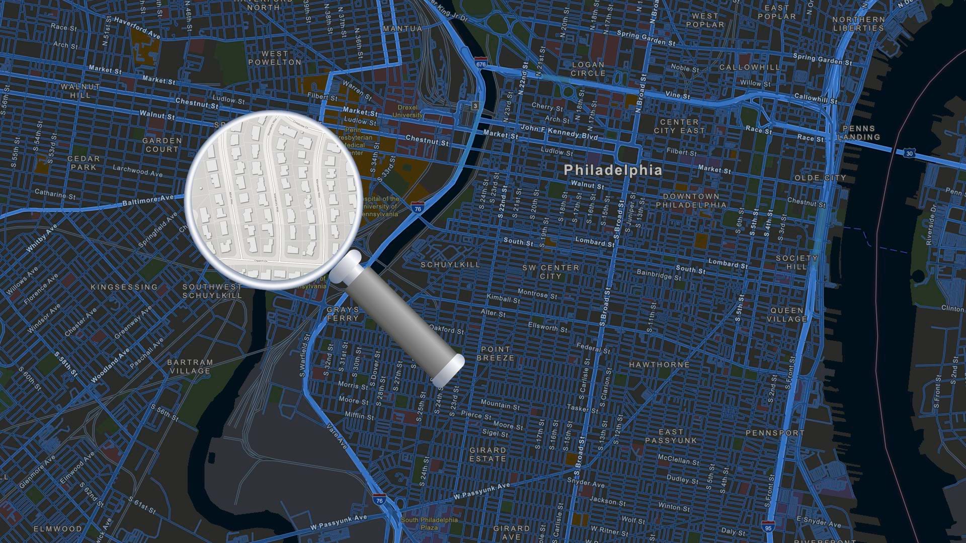
In this tip, learn how to configure and use a locator view for your organization in ArcGIS Online.