From BIM to Dashboard: Build a 3D Construction Progress Dashboard with ArcGIS
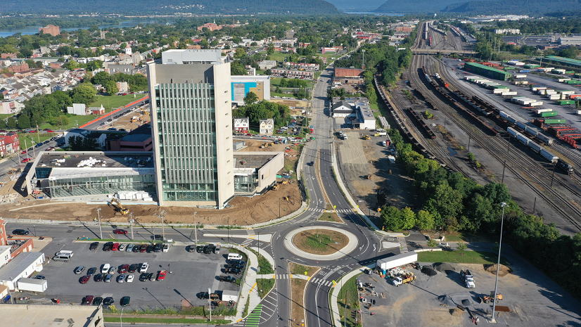
Create an interactive dashboard that features a 3D construction model and tracks the real-time installation status of structural framing.
Create an interactive dashboard that features a 3D construction model and tracks the real-time installation status of structural framing.
Add authoritative GIS data to Autodesk Civil 3D designs using ArcGIS for AutoCAD and its curated set of layers for AEC workflows.
Mick Dunn from Nottingham City Council in the UK explains how the digital twin approach to city planning saved the city money and time.
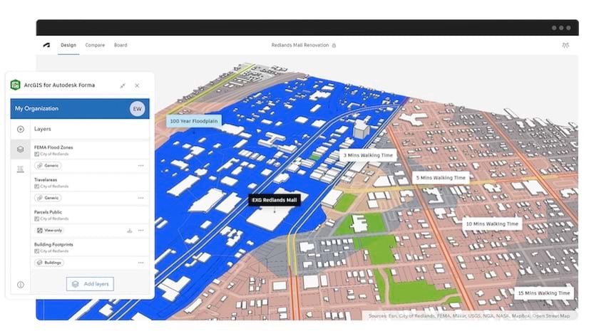
This new integration introduces Esri’s authoritative geospatial reference data into Autodesk Forma to transform design and planning.
Northwest Scotland's electric network is being modernized with help from ArcGIS GeoBIM.
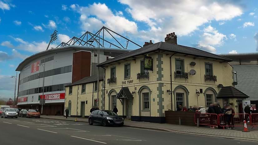
A stadium in Wales has been updated with GIS and BIM technologies to create a sustainable venue with modern amenities.
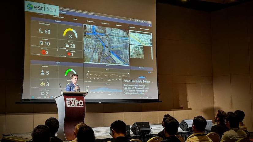
The buildingSMART International Summit in Singapore focused on the interoperability and integration of GIS and BIM.
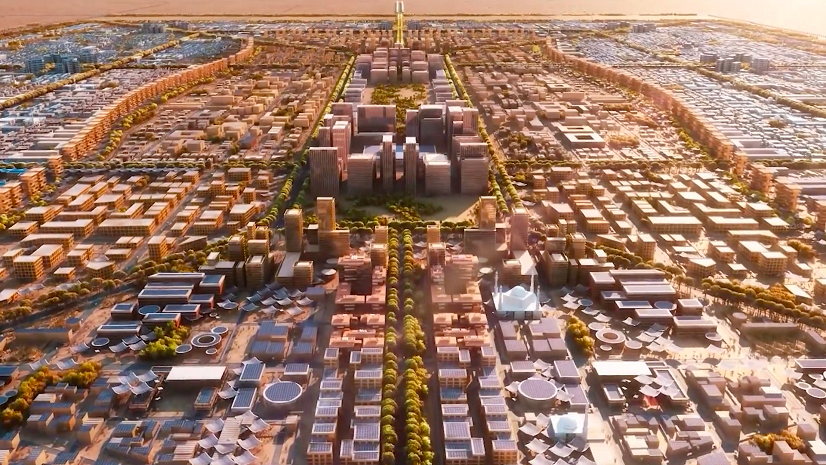
Explore how GIS has become an indispensable tool for the the urban design industry and now informs every stage of the planning process.
Learn how Dawood Engineering designed and developed a web-based GIS portal to manage construction inspection projects.
Join Esri’s free massive open online course, opening on February 14, to learn to infuse geographic context into the AEC project life cycle.
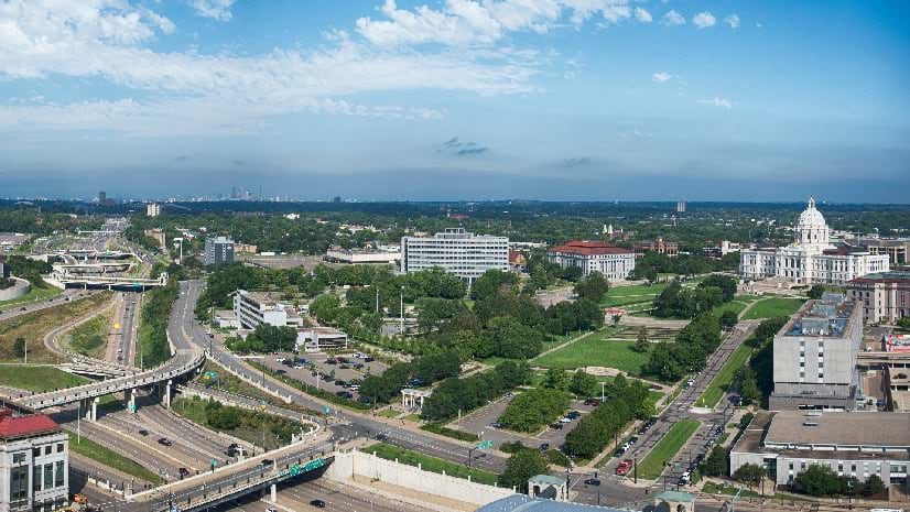
Check out how stormwater construction activity management provided a solution for Bus Rapid Transit in St. Paul, Minnesota.
Esri's Kathleen Kewley explains how the use of geospatial technology in the construction industry is driving sustainability and performance.