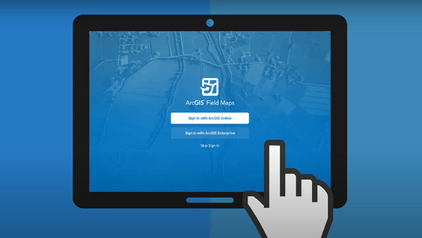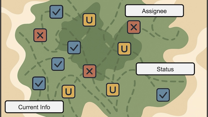
Introducing Tasks in ArcGIS Field Maps
The Tasks capability gives mobile workers a better way to manage the planning and coordination of fieldwork to improve collaboration.
The Tasks capability gives mobile workers a better way to manage the planning and coordination of fieldwork to improve collaboration.
Explore new capabilities in a new architecture built on top of the ArcGIS Maps SDK for ArcGIS Field Maps.
A US gas producer employs ArcGIS StoryMaps to improve environmental accountability.
City staff in an Indiana city used GIS to digitize critical power, water, sewer and storm sewer infrastructure.
In Arizona, a city has a long history of integrating GIS with its operations.
Learn the basics of collecting data in the ArcGIS Field Maps mobile app with this tip.
Take a look at this simple 5-step guide to getting maps to the field with Field Maps Designer.
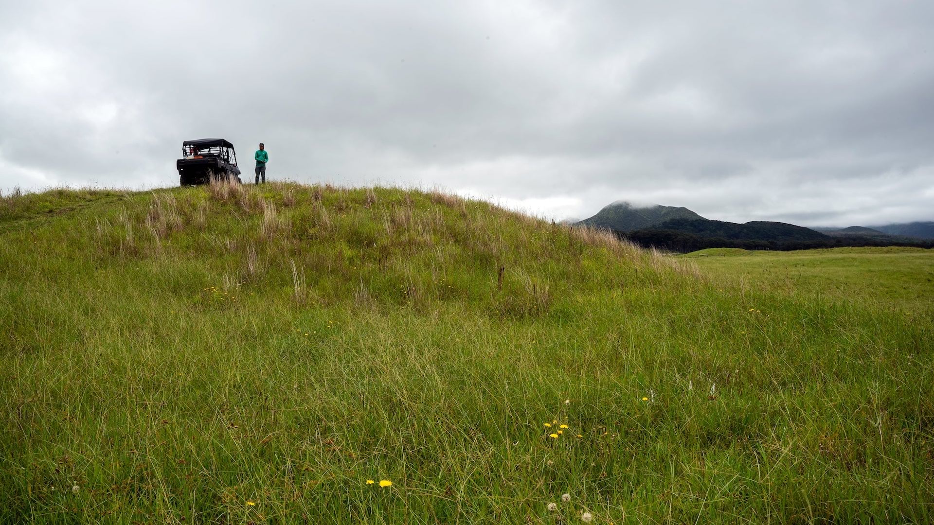
Terraformation is shaking up the reforestation game by using GNSS and ArcGIS technology to map plants that mimic the growth of native ecosystems.
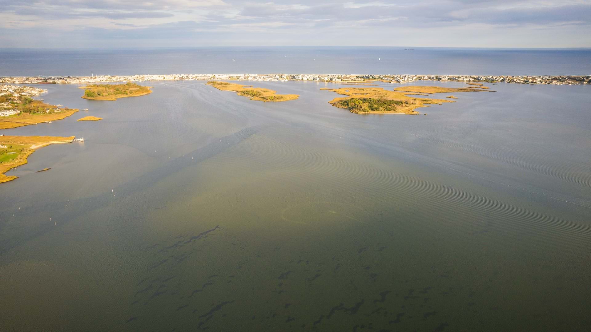
New Jersey American Water has saved millions of dollars each year by mapping water asset locations across the state with pinpoint accuracy.
With a recent update, you can now create a map for data collection using the ArcGIS Field Maps web app. Learn how.
ArcGIS Field Maps combines map viewing, data collection and more into one app for efficient mobile work. Here are five tips to get started.
ArcGIS Field Maps ensures mobile workers have what they need in the field. Try these five capabilities to see what Field Maps has to offer.