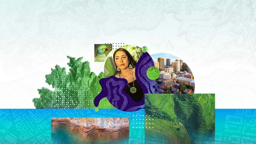
Get Inspired by the 2025 ArcGIS StoryMaps Competition Winners
Explore the winning stories from three categories—environment, infrastructure, and people—created by storytellers from around the world.
Explore the winning stories from three categories—environment, infrastructure, and people—created by storytellers from around the world.
Using text and images, develop a compelling narrative to propose tree-planting projects that build climate resilience.
To explore the legacy of Lucyville, a once-thriving Virginia town, local middle schoolers used ArcGIS StoryMaps to delve into its history.
Showcase your storytelling skills in this global competition, cohosted by Esri’s ArcGIS StoryMaps and ArcGIS Living Atlas teams.
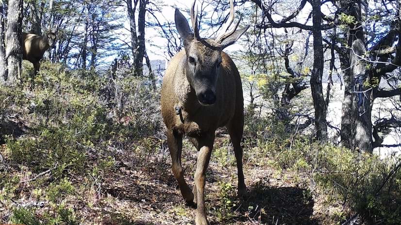
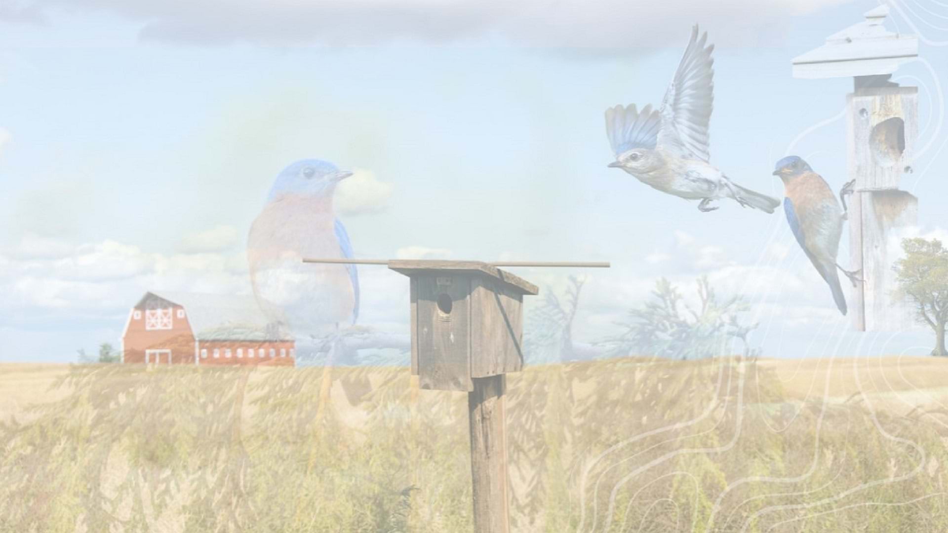
National Huemul Corridor demonstrates Chilean efforts to protect endangered huemul populations.
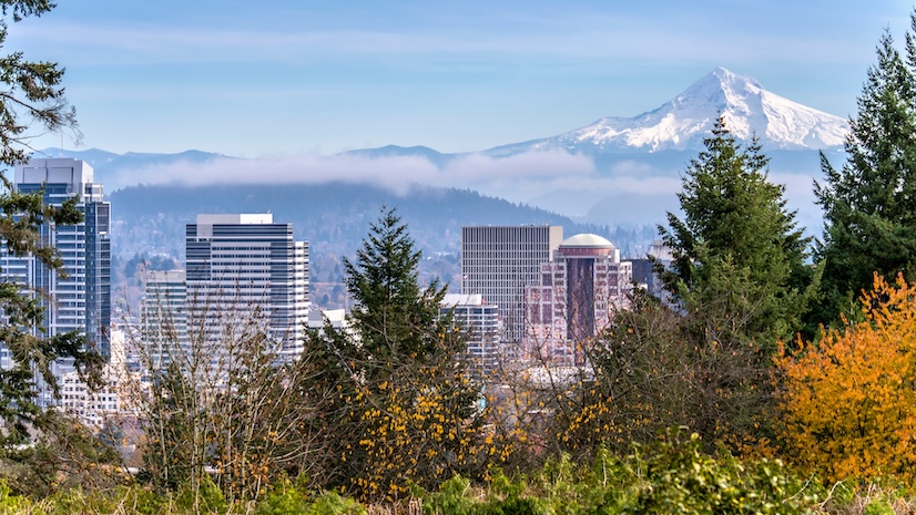
A new digital tool combines maps, 3D scenes, and multimedia content to more effectively communicate details about US infrastructure.
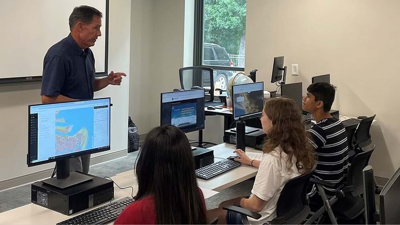
A faculty-developed GeoEd program introduces high school teachers and students to GIS and geoscience.
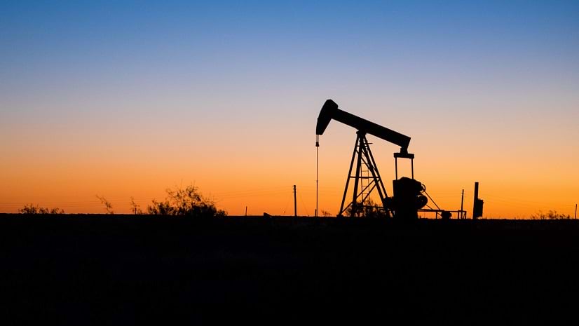
A US gas producer employs ArcGIS StoryMaps to improve environmental accountability.
Templates have arrived in ArcGIS StoryMaps. Find out how you can use them in your storytelling workflow.
A GIS administrator for Three Rivers Park District relies on Esri Community to assist other departments with their geospatial needs.
Use your unique talents—from cartography and data analysis to photography and design—to tell a story with ArcGIS StoryMaps.
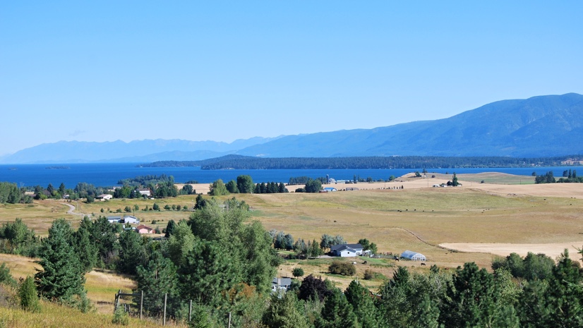
On the Flathead Reservation, climate change isn't just an abstract concept. It is a pressing reality threatening a traditional way of life.