Enhancing Mississippi Beach Water Monitoring Through GIS Technology
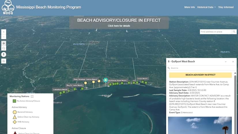
The Mississippi Department of Environmental Quality partnered with The Geospatial Group to transform the analysis of water quality data.
The Mississippi Department of Environmental Quality partnered with The Geospatial Group to transform the analysis of water quality data.
Denver transformed its printed stormwater drainage plan into an interactive online portal, making flood risk information easily accessible.
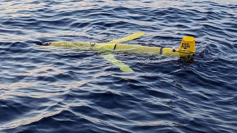
GCOOS uses GIS technology to manage on-demand, accurate, and reliable data essential for environmental monitoring and disaster response.
Esri's chief scientist explains why high-res ocean mapping is important.
Jeff Opperman, Global Freshwater Lead Scientist with World Wildlife Fund, explains how the WWF protects the economically vital Mekong Delta.
With 3D visualization, the EPA can better understand and respond to groundwater contamination in LA County and beyond.
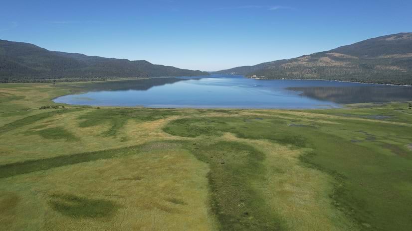
Check out this restoration project developed for native wetland vegetation in the Swan River National Wildlife Refuge in Montana.
The Tar Creek Superfund site created one of the most toxic floodplains in the US. LEAD Agency is using GIS to advocate for environmental justice.
Learn how Tennessee state agencies leveraged federal funds to develop a statewide recreation database.
Listen as Paul Cooper of the Arbor Day Foundation highlights the environmental and economic benefits of green infrastructure.
Natalie Stirrat, Technical Director at Arcadis, details how a geographic approach improves the design of smart infrastructure.
The city of Austin leveraged ArcGIS Dashboards to inventory thousands of trees in an effort to preserve and expand the city's urban forest.