Urban planners, landscape architects, GIS analysts, engineers, designers, and other planning and technology professionals from around the globe are using geodesign concepts and geospatial technology to shape the future of how and where we live, work, and play. They’re trying to do this in a sustainable way that considers factors such as climate change, population growth, urbanization, and threats to biodiversity.
More than 50 speakers gave presentations on geodesign-related projects during the recent four-day Geodesign Summit, hosted at Esri headquarters in Redlands, California. The audience, which included more than 175 people in Redlands and more than 14,000 viewers online, heard about a wide range of geodesign work including the following:
- Creating design proposals for how to make a US Air Force base more climate resilient
- Analyzing current car park space in England to find prime locations that, in a future with fewer cars powered by petrol and fewer people driving, could be used for much-needed housing
- Launching the Cape Cod Coastal Planner, a custom tool that offers users the ability to see how climate change could impact Cape Cod and then test various strategies to mitigate sea level rise, control erosion, and reduce or prevent flooding
- Creating two different downtown redevelopment design scenarios for Morrisville, North Carolina, using Esri CityEngine and other technologies (Watch the video from Houseal Lavigne Associates.)
- Modeling and evaluating design alternatives for residential development and a system of parks and open space, called the Emerald Crescent, in the Decoteau area of the city of Edmonton, Alberta, Canada (Learn more about this project by O2, a planning and design firm.)

Geodesign combines the art of design with the science of geography. It uses stakeholder input, creative design techniques, evaluation, rigorous methodologies, spatial analysis, modeling, and mapping to find the most suitable, environmentally friendly, and sustainable options for how to use space. The space may be used for wildlife conservation, development, infrastructure, flood control systems, or transportation projects, to name just a few examples.
“Geodesign is about providing positive, real-world change,” said Ryan Perkl, geodesign practice lead in the Professional Services Division at Esri. “Geodesign is data-, evaluation-, and impact-driven design. It’s an approach whereby we seek to make mistakes in the digital world so that we can avoid making the same mistakes in the real world.”
Providing a Geodesign Launchpad
One of the keynote speakers at the 2020 Geodesign Summit, now in its 11th year, was Esri president Jack Dangermond, who has employed geodesign concepts since he started Esri as a land-use consulting firm in 1969. Esri eventually morphed into a GIS software company, but geodesign has always been foundational to his work. Dangermond was one of the driving forces behind creating the Geodesign Summit, which is dedicated to bringing professionals together to learn about geodesign, share their work, network with each other, and advance the practice. Several colleges and universities have started to offer geodesign programs to train students in the methodology and tools.

“This [event] is a launchpad for this profession,” Dangermond said. “I think [geodesign] will ultimately transform our world. You are laying the footprints for a better world. The application of [geodesign] provides evidence we are onto something.”
Dangermond said he worries about overpopulation and the stresses it places on our planet, including plants and animals. “There are too many of us. . . . We’re not sustainable at this particular point,” he said.
The path toward sustainability, however, starts with geography, which Dangermond calls “the science of our world.” In the geodesign process, geography provides content and context when studying issues or considering design alternatives. “[This] helps us see relationships and patterns,” he said.
The geodesign process, supported by GIS technology, includes measurement (capturing the data that you are trying to model); visualization and mapping; analysis, modeling, and planning to come up with what-if scenarios; decision-making; and, finally, action.
Dangermond talked about many aspects of how the ArcGIS platform supports geodesign, including the content available from ArcGIS Living Atlas of the World and smart mapping and 3D visualization tools. But he emphasized open data initiatives to spur data sharing among organizations to tackle design or societal issues such as the current coronavirus disease 2019 (COVID-19) threat. He pointed out the recent creation of maps and dashboards being used to share real-time data on COVID-19 cases. An online dashboard from the Center for Systems Science and Engineering (CSSE) at Johns Hopkins University was created using ArcGIS Dashboards (formerly Operations Dashboard for ArcGIS) from Esri. The dashboard includes data provided by the World Health Organization (WHO), the Centers for Disease Control and Prevention (CDC), the European Centre for Disease Prevention and Control (ECDC), and the National Health Commission of the People’s Republic of China (NHC).
Dangermond envisions a larger open data movement with more organizations using hubs powered by Web GIS that make it easier to contribute and access the data needed for geodesign projects. “When I was in school, they said 90 percent of a project is data collection,” Dangermond said. “We can change that. Imagine—for free, I could access information to power the design process.”
This goal needs the support of the geodesign community, according to Dangermond. “This is a bold vision and requires a lot of work by a lot of people,” he said. “Your work is essential in this, and it’s not going to happen if you don’t buy into it. It takes leadership, learning, sharing, collaborating, energy, commitment, and passion.”

Creating Resilient Design
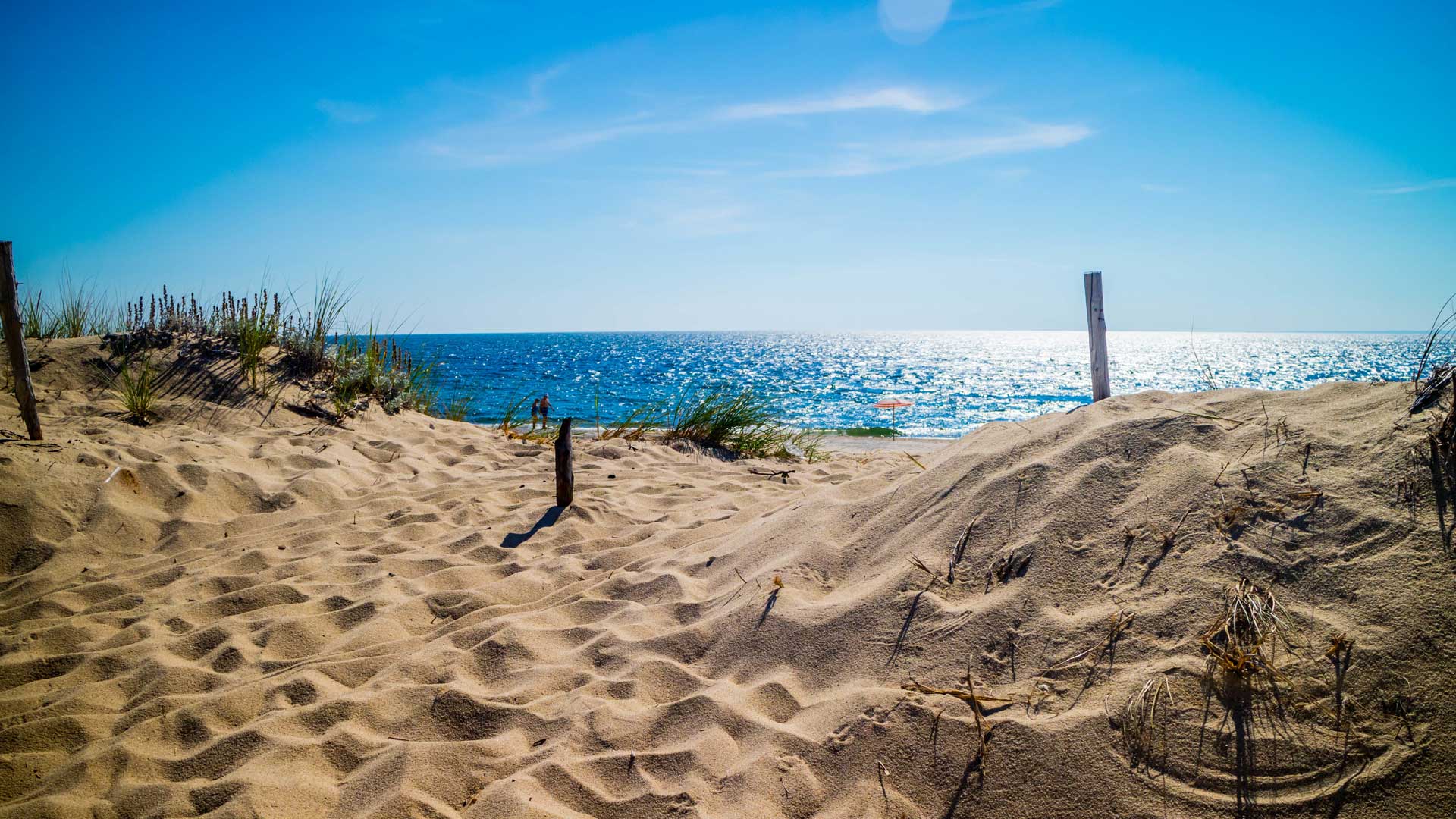
The sustainable planning with geodesign that Dangermond envisions is under way on a project to help repair weather-related damage to Tyndall Air Force Base, in the Florida Panhandle.
Hurricane Michael, a category 5 storm, battered the base in October 2018, damaging some aircraft and destroying many buildings including a school, the marina, some aircraft hangers, and several dormitories.
The base, which was in the eye of the storm, was slammed by winds that downed thousands of acres of nonnative timber. The storm surge was estimated to be between 9 and 12 feet. A project estimated at $3 billion is under way to repair the damage and make the base more resilient and less vulnerable to climate change, hurricanes, and other natural hazards.
Urban planner Eduardo Rendon and landscape architect William Chung from Jacobs, an international technical professional services firm, gave a presentation about the geodesign work they’ve done in support of a proposal to redesign a portion of Tyndall Air Force Base.
Chung said the government had a large dataset that could be used to assess the hurricane’s damage to the base. “We have a massive amount of information—lidar—and we wanted to take advantage of that,” he said.
The data informed the team from Jacobs about the damage caused by the 9- to 12-foot storm surge, as well as how the winds acted and how the dunes along the coast changed after the hurricane.
“We need to calibrate this information and find the needle in the haystack, in a way,” Chung said. “What is important in [knowing] how we go about designing the master plan?”

Rendon said the lidar data not only showed what structures were damaged by the hurricane, but also, when mapped, gave the team insight into where and how the dunes along the coastline had shifted—or were pushed back—closer to the base by the hurricane’s force.
“You can actually track the hurricane by the way the dunes [are situated] right now,” he said. This data was mapped by the team in the geodesign process. Seeing how the dunes eroded and moved will help inform how negative impacts from such change can be mitigated and addressed to make the base more resilient in the future.
“We know this area is very vulnerable to this type of event. It’s going to be under a natural attack, environmentally speaking,” said Rendon. “We need to be ready to protect that area.”

Geodesign can help in the planning process by providing the context, analysis simulation, and evaluation necessary to develop the most robust alternatives possible.
The design plan that Rendon and Chung are working on will turn back time to replicate the natural environment along the coastline next to Tyndall. Some previously occupied buildings on that property won’t be rebuilt because of their being near the water and in the potential path of another storm surge.
The Jacobs team used GIS technology, including ArcGIS Pro and ArcGIS CityEngine (formerly Esri CityEngine) to model how the dunes in that area could be configured to protect the land from storm surges. Esri Story Map apps and ArcGIS Dashboards were used to communicate various design scenarios to the leadership team.
Because cultural and archaeological finds have been made in the area and greater storm surges are anticipated in the future, the area will be restored to its natural habitat, according to Chung and Rendon.
“Our plan is to restore the area back into its native coastal vegetative stage as part of the ‘second line of defense’ [against] future hurricane incursion,” Chung said. “We are working with the US Fish and Wildlife Service to reintroduce indigenous and native plants that are better suited for hurricane wind conditions.”

Geodesign is also being used at the Cape Cod Commission, the area’s regional land-use planning, economic development, and regulatory agency. For years, the agency has been using GIS technology to make advances in the region’s planning.
During the summit, commission executive director Kristy Senatori demonstrated a tool developed to help users better understand and plan for the impacts of climate change on Cape Cod. The Cape Cod Coastal Planner is a web-based communication and decision support tool that anyone can use to view potential impacts of climate change on Cape Cod’s shorelines, ecosystems, and infrastructure and participate in geodesign themselves.
Users of the Cape Cod Coastal Planner can select a planning area from among 37 shoreline locations. They can then select the planning layers they want to reference, such as Erosion; Sea Level Rise, including ranges from one to six feet; and Infrastructure, including coastal defense structures, historic places, and public and private roads. The Vulnerability Ribbon layer categorizes the shoreline by degree of vulnerability to the impacts of these hazards.
By selecting a segment along the vulnerability ribbon, users can simulate the impacts of different mitigative interventions such as creating dunes, restoring salt marshes, or removing existing development from an area to reduce the impacts of storm surge, sea level rise, or erosion. Users can then weigh strategies based on outputs—like scale, cost, lifespan, and benefits provided—to a number of ecosystem services and select the alternatives that will ultimately achieve the desired results.

Storms and climate change present a challenge to residents of Cape Cod, according to Senatori. “We have 586 miles of vulnerable tidal shoreline,” she said, “and the Coastal Planner is a resource [that] communities can use to communicate impacts and visualize scenarios to build resilience.”
To further demonstrate the scope of hazards that Cape Cod faces due to climate change and increased storms, the Cape Cod Commission used an Esri Story Maps app to create Resilient Cape Cod—Coastal Impacts.
The story map provides a way for people to add their own stories about how climate change is affecting Cape Cod. People can add photographs and the location of an event, which are then mapped for others to see. For example, one person added a photo of a road flooded by a storm surge in Brewster in January 2018, and another user posted a picture of flooding caused by a nor’easter at Northside Marina in Sesuit Harbor in March 2010.

Turning Parking Spaces into People Places
Many people in the United Kingdom foresee a future in which they drive less often or use electric cars, meaning there will be less of a need for the current car parks. “Seventy five percent of people in the UK believe they should reduce their car use,” said Ian McGuinness, a partner and head of geospatial at Knight Frank, a global real estate consulting firm. McGuinness helps conduct research for Knight Frank.
Last year, he did an analysis of car park space for the United Kingdom’s Ministry for Housing, Communities & Local Government (MHCLG). MHCLG and other government agencies and stakeholders are looking for development space for housing, which is very limited.
McGuinness analyzed remotely sensed imagery of publicly owned car parks in the United Kingdom, using machine learning classification methods and an image classification tool in ArcGIS Pro. He was looking for the car parks that would be the best situated for housing, one factor being that the parks needed to be within easy walking distance of public transit.

The effort ultimately identified areas where underutilized infrastructure could be repurposed to address the pressing need for available housing while activating staggering amounts of capital in both the public and private sectors.
At the Geodesign Summit, McGuinness told the audience that geospatial data and tools helped identify 15 percent of the car parks that could be converted into land for 100,000 housing units.
Many more stories about how geodesign techniques and GIS technology can be used together to support a more sustainable world were told at the Geodesign Summit. To learn more, visit Esri’s Geodesign page. Videos of the Geodesign Summit will be posted in the near future on the Esri YouTube channel.
