November 21, 2022 |
David Gadsden | Conservation
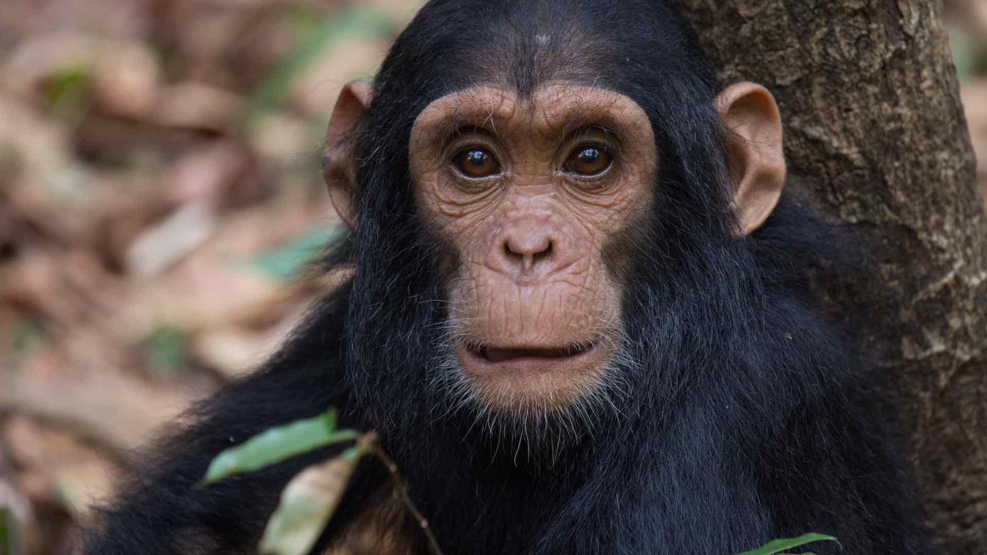
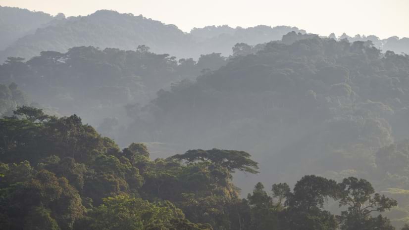
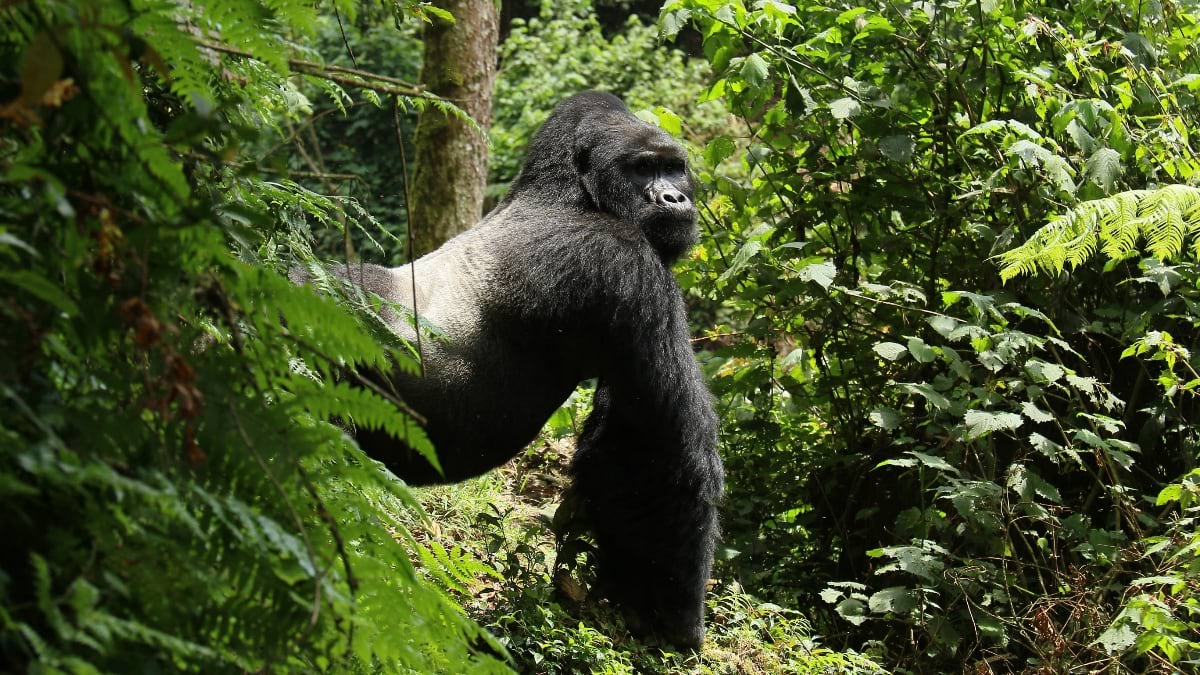
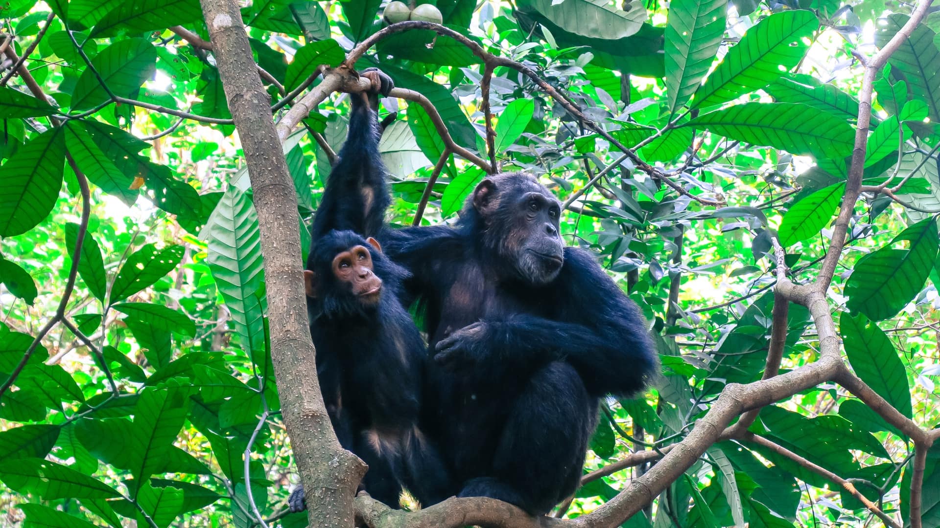
A chimpanzee hears you long before you see it. In dense forest, at altitude, in terrain that announces your presence with every step—a snapped branch, a slip on wet vegetation, a sneeze—the animal is gone. In Bwindi Impenetrable National Park in southwestern Uganda managed by the Uganda Wildlife Authority, the chimpanzees resist human contact and are rarely observed, but a recent census revealed that 426 chimpanzees are living in symbiosis with mountain gorillas.
Ecotourism infrastructure has been built around Bwindi’s gorillas, but little was known about chimpanzees. The census teams found fresh chimpanzee nests alongside gorilla nests, laid on the same night. “It was very surprising to find chimps laying nests on the ground,” said Michael Jurua, who led the census survey for the Jane Goodall Institute (JGI) Uganda.
Chimps almost universally nest in the canopy. In no other place have they been seen to live in such close proximity to mountain gorillas. Twenty census takers cut through dense forest, climbed steep hills, and persisted in their observations across 160 kilometers for six weeks.
Jurua lost 20 kilograms to the relentless pace of the marked-nest count methodology, which sends census takers along mapped forest lines—transects—revisited within weeks. The census stayed on track because Jurua updated the map daily, checking observations for accuracy and guiding the next day’s work.

Michael Jurua grew up in Nyabyeya, a village on the edge of Budongo Forest Reserve in northwestern Uganda. He was eight years old when he joined Jane Goodall’s Roots & Shoots club at his primary school in 2008—a Jane Goodall Institute program that inspires young people to make a difference for people, animals, and the environment. The club took nature walks into Budongo Forest. “Throughout my academic and professional journey,” Jurua said, “I’ve always explored ways of giving back to the forests that raised me.”
At Makerere University in Kampala he studied geomatics, majoring in remote sensing and geographic information system (GIS) technology. He realized that these tools offered a way to monitor forests without disturbing them. In his third year, he entered the Digital Earth Africa and Youthmappers Technical Challenge and went back to Budongo to apply cloud computing and machine learning to map deforestation hotspots. This work earned him the Wildlife Digital Innovations Award from the Ugandan Ministry of Tourism, Wildlife, and Antiquities.
He has since trained more than 200 young professionals to use geospatial technology to monitor wildfires and assess forest loss in the forests he once walked as a child.
Today Jurua serves as conservation science and monitoring manager for JGI Uganda and as Uganda’s National Roots & Shoots Ambassador. Remote sensing gave him the ability to monitor forests from above. But for many questions rigorous fieldwork is still required.
That fieldwork requirement brought Jurua to Bwindi. The Uganda Wildlife Authority’s National Chimpanzee Conservation Strategy called for the count. Conducting the census required funding for fieldwork, science and technology support, and data analysis and publication. Within four days of JGI Uganda naming the needs, JGI chapters in the United States, Austria, Germany, France, and Switzerland had raised the funds and lined up technology infrastructure, satellite data, and science partnerships with academic institutions such as the University of Maryland. The network’s ability to move quickly for the Bwindi census, even as it tries to meet many other conservation needs, says something about JGI’s flexibility and focus on innovative science.
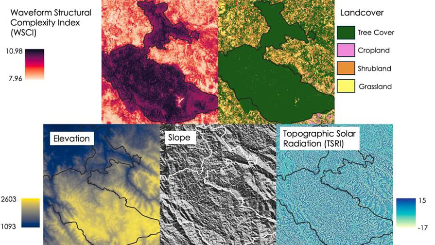
Before anyone entered Bwindi, JGI Uganda’s research team worked with JGI’s US-based conservation science team, led by Dr. Lilian Pintea, a leader in GIS-based great ape research and community-led conservation. His strategy centers on an ArcGIS-powered Science and Knowledge Hub that connects JGI staff and partners across chapters to shared data. Devin Jacobs, who manages enterprise GIS for the JGI conservation science team, sourced high-resolution satellite imagery from Maxar, now known as Vantor, and Planet through Project Centinela, that underpinned the terrain analysis, and built the ArcGIS Survey123 form to capture every sighting in the field.
“A lot of what our team is trying to do,” Jacobs said, “is make sure that everyone has access to the same authoritative, high-quality datasets.”
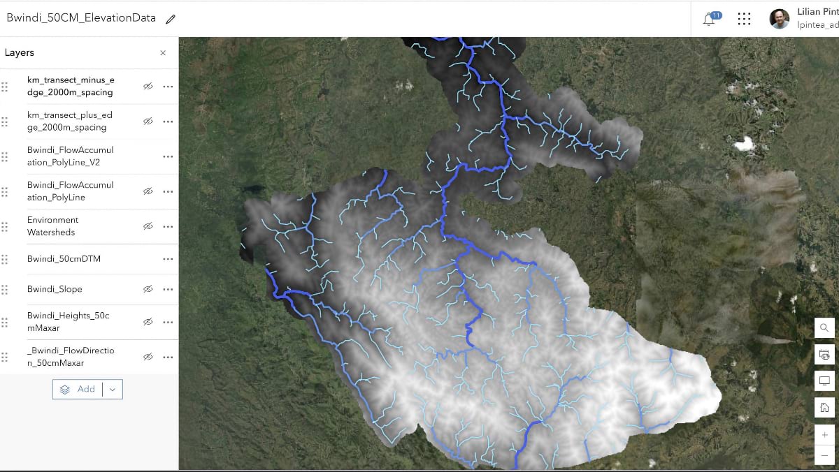
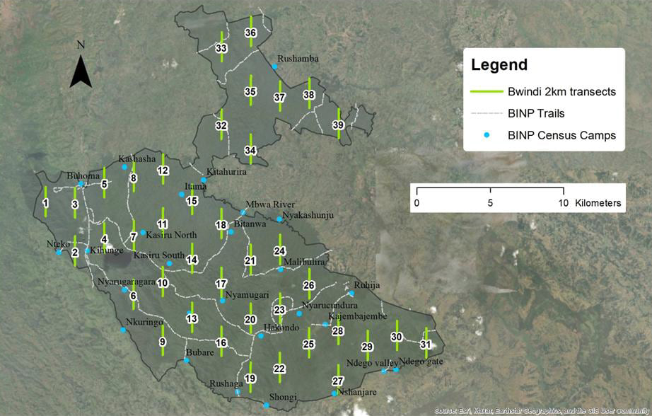
Working in ArcGIS Pro, the team used Distance software to design 39 standardized transects, each two kilometers long, and laid them across the park’s 330 square kilometers. A high-resolution 50-cm digital elevation model revealed the park’s ridges, depressions, and steep slopes. They overlaid rivers and swamps using UWA data, mapped ranger outposts, and identified trails to each transect’s starting point.
JGI had used the marked nest methodology before, but never in Bwindi, where scale and terrain added new challenges. Pulling it off required expertise from across JGI’s global chapter network and partners, from great ape survey specialists to remote sensing scientists in academia to field teams who had never run a census. James Byamukama, executive director of JGI Uganda, has coordinated more than four gorilla censuses across the Greater Virunga Landscape and oversaw this chimpanzee census. “I’ve never seen an amazing level of partnership like there was in this census,” he said.
Each adult chimpanzee builds one nest per night. Nests decay at measurable rates through visible stages. By recording the location, condition, and distance of every nest from the transect line, JGI scientists could model population density across the park. The method demands two complete sweeps of every transect, with teams timing the second visit exactly 14 days after the first.
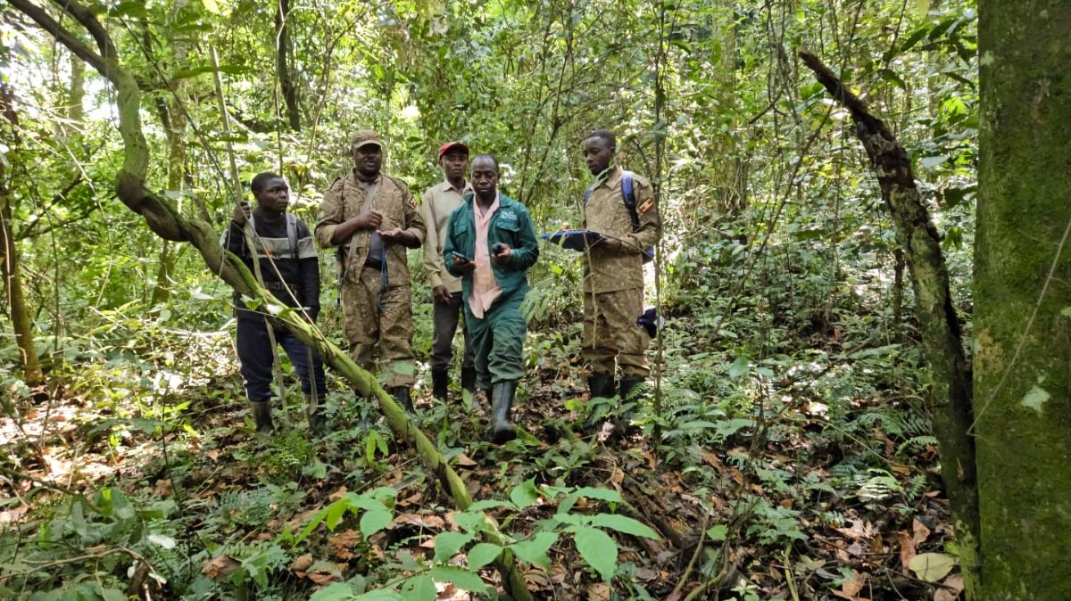
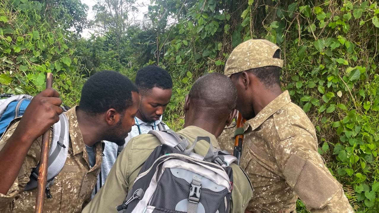
Rangers from the Uganda Wildlife Authority were central to the effort. They knew the park’s trails, its seasonal rhythms, and the way wildlife moved through the forest. They also carried weapons in case of danger.
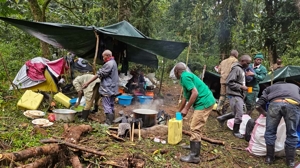
Five teams entered the forest at seven each morning. They recorded details along two kilometers of transect, documenting every nest they found: GPS coordinates, perpendicular distance from the transect line measured with a laser rangefinder, and a geotagged photograph. They also noted gorilla nests, elephants, ungulates, and signs of illegal human activity alongside the chimpanzee data. Finally, they returned to camp around six or seven in the evening.
Base camps moved with the census. Teams would return, eat, and then travel in the dark to the next camp. Jurua slept little, checking data each night for errors. Early in the census, two teams walked in the wrong direction, south instead of north. He caught it in the data and sent them back.
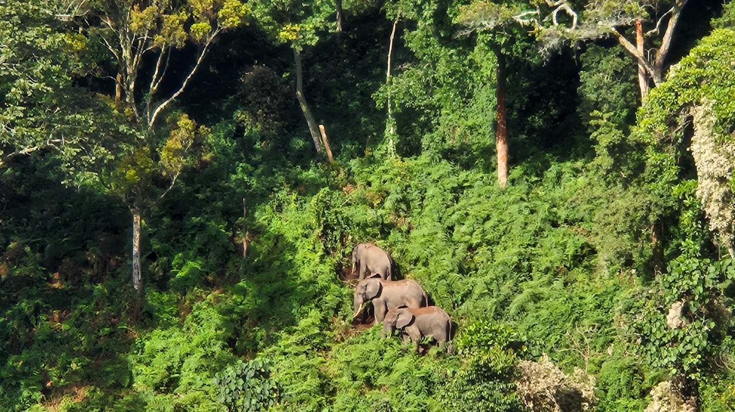
Bwindi’s slopes are steep, reaching nearly 3,000 meters in elevation. A slippery plant sent one team sliding half a kilometer downhill before the forest stopped them. The team woke to rain and could see that it fell as snow on the Rwenzori mountains a few kilometers away.
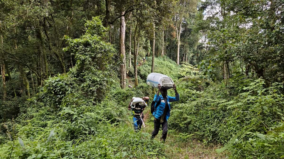
Local porters and trail cutters carried equipment and hacked paths through vegetation. They were, as Jurua put it, the first GPS—the ones who knew where the forest would let you through. “There are moments when you can’t go further,” Jurua said. “You have to go back to go around. And the physical toll was real—there was a time when my knees gave out.”
Jurua presented the preliminary results on-screen during the field decommissioning day. Rangers and community members saw their data points on the map, plotted along the transects they had cleared. It showed chimpanzee nests across all four sectors of Bwindi—coverage the team had earned the hard way.
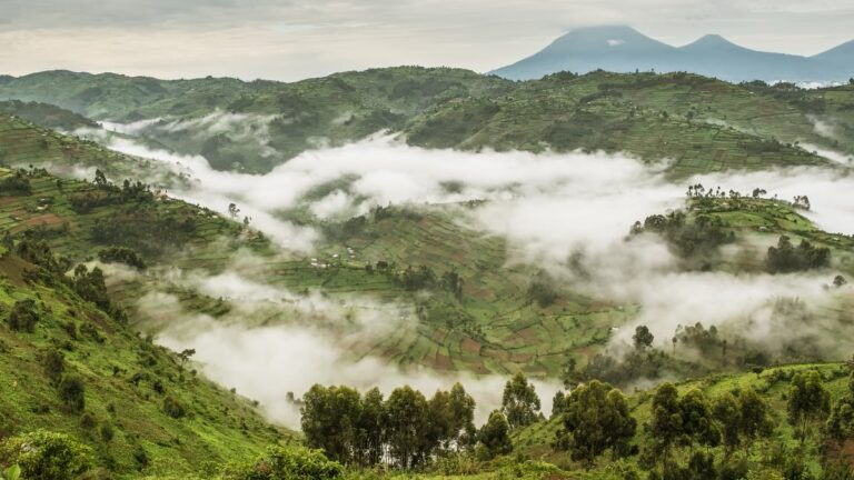
Crossing the narrow corridor between Bwindi’s north and south, the teams found a forest under different pressure. The southern block is the larger of the two, and home to the mountain gorillas and the ecotourism they attract. The northern sector is smaller, less visited, and—until the census—less understood. Chimpanzees concentrate here and gorillas are absent. The census teams recorded the highest density of snares, cut poles, and signs of firewood collection.
These impacts are not from the indigenous Batwa, whose ties to the southern forest run deep. The northern communities are more recent arrivals, farming families pressing against a forest boundary. They were encroaching, Jurua said, not out of indifference but out of need.
“Now that we know that’s where they concentrate,” Jacobs said, “we can work with communities in the north about their role in protecting chimpanzees.” That means understanding what northern communities need and building conservation around it.
Jane Goodall learned this approach by watching conservation fail when it ignored the people living alongside it. The census results, Jurua said, confirmed what Goodall argued: Local people must come first. “If conservation bypasses those communities,” he said, “it will not last for long.”
Communities in the south became better stewards of the forest when gorilla tourism transformed the local economy. The census opens the same possibility in the north. Illegal activity, Byamukama believes, could cease in the same way the southern portion demonstrated.
For decades, UWA managed Bwindi as a gorilla habitat. The presence of two great ape populations of comparable size has already prompted UWA to strengthen Bwindi’s UNESCO World Heritage inscription to reflect what the forest actually holds. The discovery of significant populations of chimps and gorillas will drive more ecotourism dollars to support surrounding communities.
Their findings are now Bwindi’s baseline—for future discoveries, and for understanding the pressures chimpanzees face.
The inheritance Jane Goodall left Uganda is a philosophy of conservation, but also a generation of scientists and rangers and community members who know nature’s value and protect it.
Learn how GIS powers community-led conservation. Learn about JGI’s Tacare community-led conservation approach grounded in maps.