June 17, 2025 |
Brooks Shannon | Public Safety
October 27, 2026
Everybody knows maps help us see the world. Donna Goldstein believes maps help us see ourselves.
Goldstein has been a believer in the clarifying power of mapping for decades. In the early ’90s, she was a geographic information system (GIS) expert for the department of Planning, Zoning, and Building in Palm Beach County, Florida. While working on a multiagency revitalization project, she met a sheriff’s department deputy who was having trouble funding an extension of the community policing program.
The deputy told Goldstein he had “reams of data, but whenever I go to the county commissioners with it, their eyes glaze over.”
“Telling them isn’t enough,” she replied. “You have to show them.”
She helped him prepare a map that showed where and when crime prevention had improved over a three-year period, coinciding with the formation of the community policing program. With that level of understanding, the county greenlit ongoing funding.
“The difference that community policing made, they could really see it. The commissioners could relate because they saw the difference in the areas they knew,” she said. “And that made all the difference in the world.”
In 2001, Goldstein was offered the GIS manager job for the Palm Beach County School District. Over the next two decades, a geographic approach to problem-solving would carry her through nearly every corner of the district, inside the classroom and out.
“I started attending educational conferences,” she said. “We all knew that incorporating GIS was beneficial for student learning, but nobody had ever done a quantitative study.”
Goldstein believed educators could do more with GIS, and she pursued this idea while earning a doctoral degree in education. As her dissertation topic, she devised a study on training teachers to use GIS in the classroom and evaluating the students’ academic results.

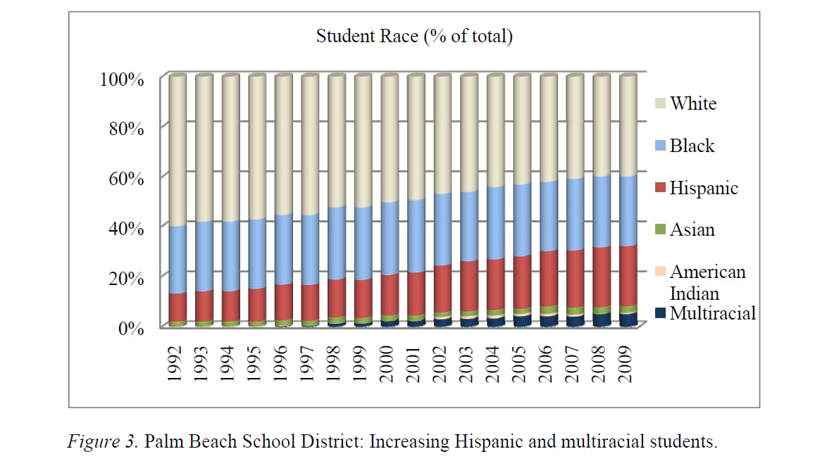
Palm Beach County is unusually diverse. According to school district data, the student body includes children from 197 countries, speaking 147 languages and dialects. When the students had access to GIS, geography became their shared language.
“For students using the GIS curriculum who spoke English as a second language, their reading scores were off the charts,” Goldstein said. “They could identify with their countries, they helped each other, and learning was fun.”
Palm Beach County’s school district is one of the nation’s largest. It serves 193,000 students in 234 schools, spread across an area the size of Delaware. One out of every 15 public school children in Florida attends a Palm Beach County public or charter school.
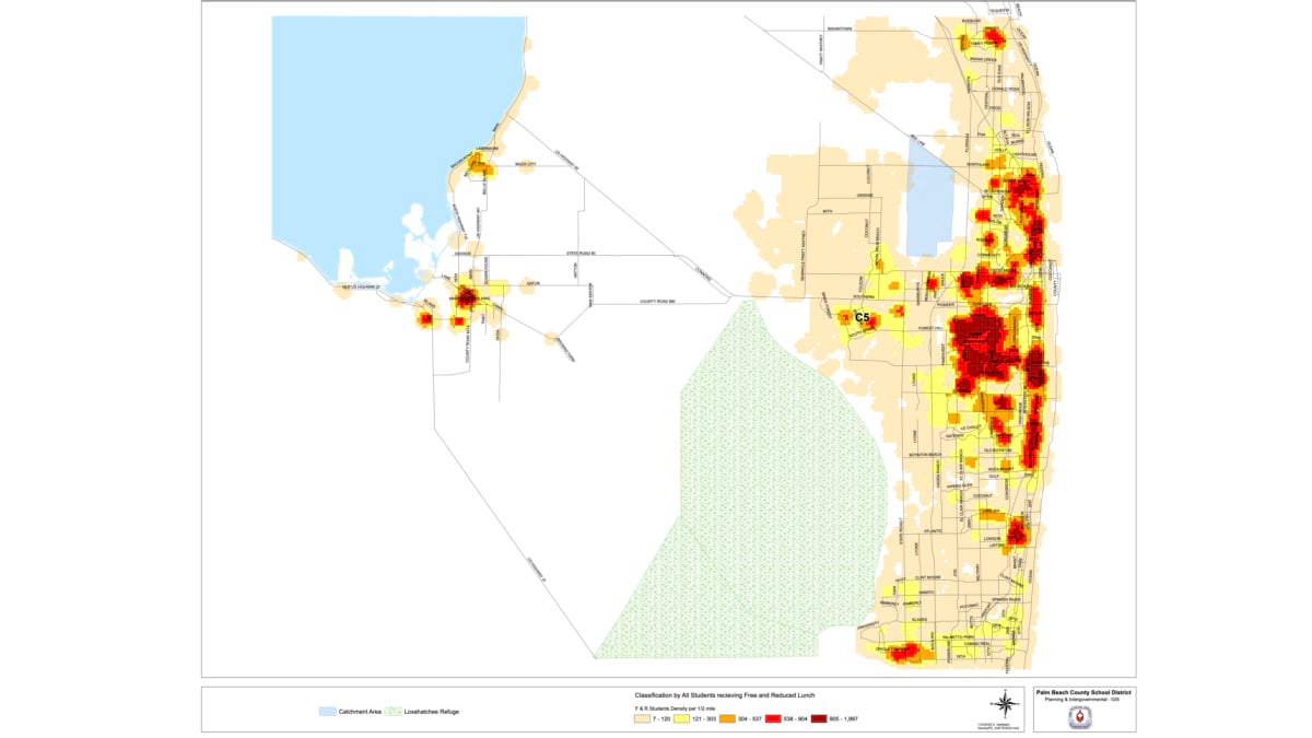
During the COVID-19 pandemic, Goldstein employed GIS to help students transition to remote learning. The district procured 80,000 Chromebook computers to distribute to students, but the question was who needed them most, and which students would have trouble accessing broadband internet.
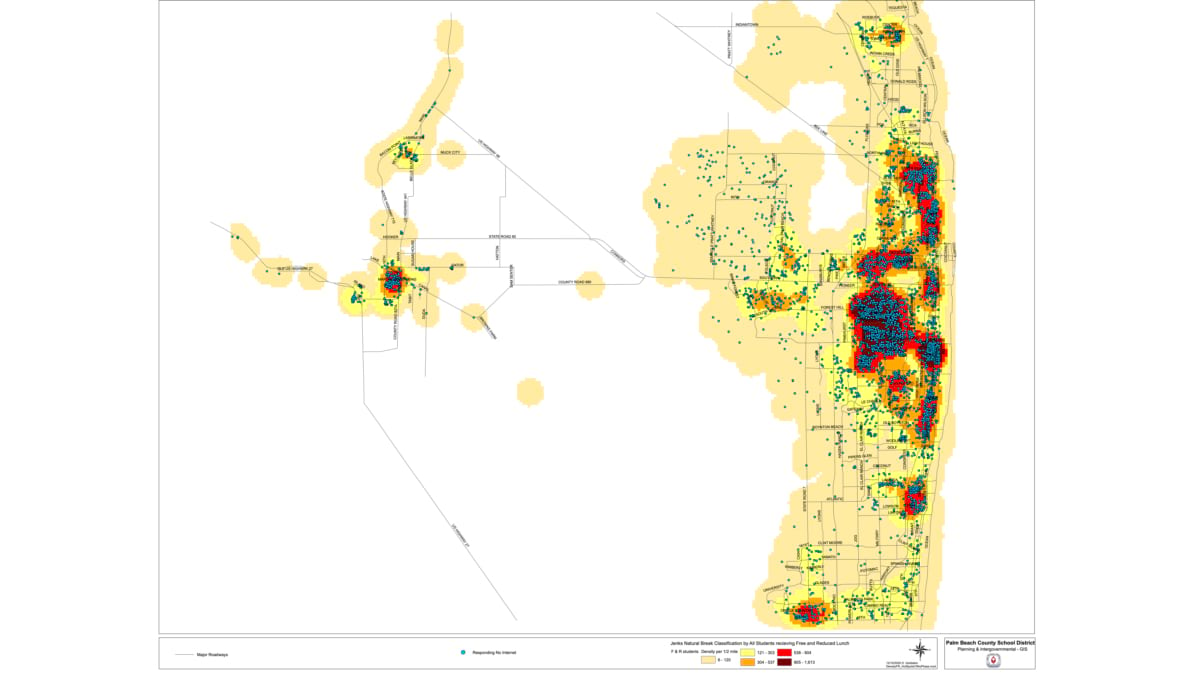
To help pinpoint areas of need, Goldstein used geocoded student data to map where students lived along with demographic information. Her maps revealed clusters of families who had limited access to technology. The clusters also helped Palm Beach County government (one of the project’s partners) decide where to extend their fiber-optic networks and where to install new Wi-Fi hot spots.
“Thousands of kids got access to the internet that wouldn’t otherwise have it,” she said. “A lot of people and organizations pitched in to make it work. We even had some of the Miami Dolphins helping to configure some of these devices.”
Goldstein will retire this year. Her final endeavor with the school district is a school safety project to map the inside of schools.
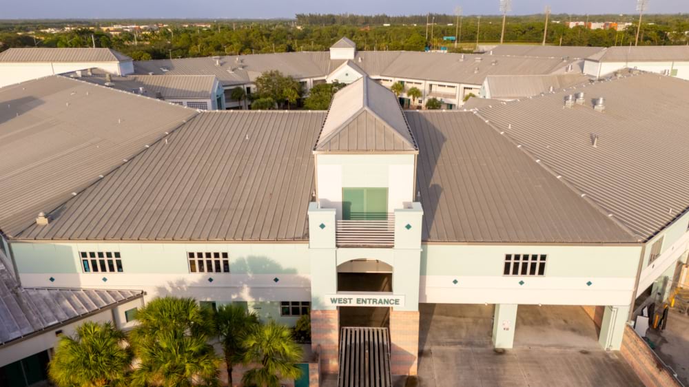
In 2018, a gunman killed 17 people at Marjory Stoneman Douglas High School in Parkland, Florida. The school, though not part of Palm Beach County, sits just seven miles from the county’s West Boca Raton Community High School.
The proximity created a shared bond. In the immediate aftermath of the shooting, many Douglas students were temporarily enrolled at West Boca Raton. Students at that school organized a march to Douglas to show solidarity and demand stricter gun control laws.
“Parkland is always on our minds, front and center,” Goldstein said.
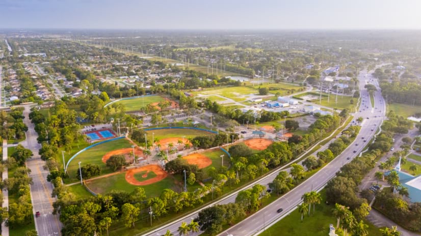
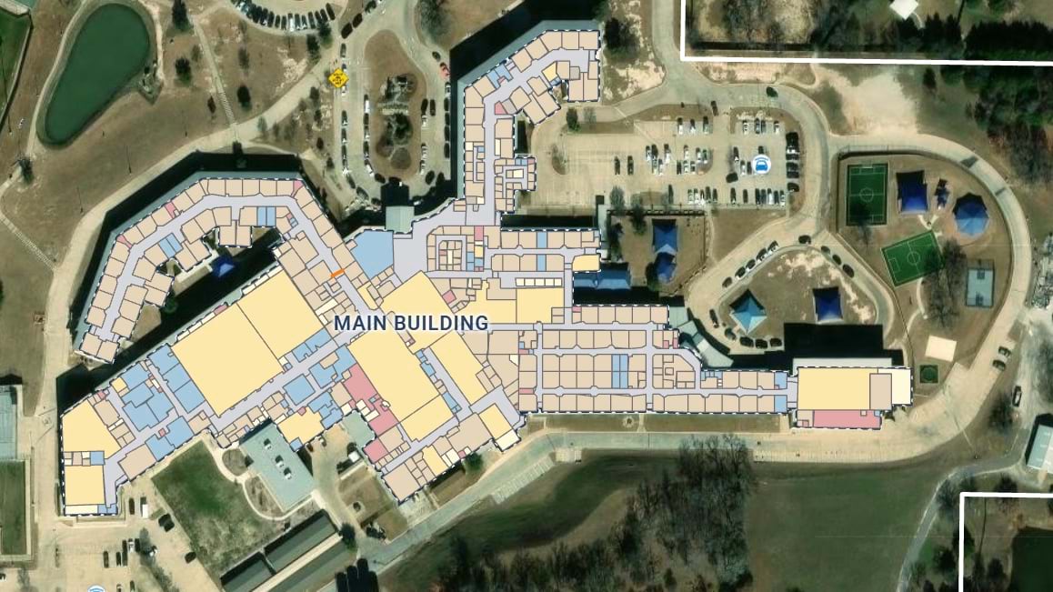
In the aftermath of the tragedy, the Palm Beach County School District launched an ambitious GIS-infused school safety project. Working with GeoComm, a public safety technology company, the district produced detailed maps of every school.
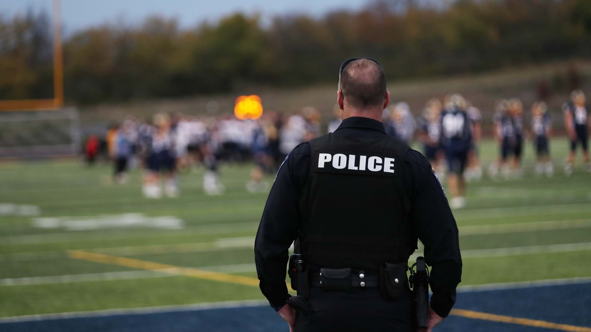
While much of the discussion around how to prevent school shootings has focused on security measures, the Palm Beach School District plan prioritizes emergency response.
The district already maintained floor plans of its schools, but converting them into a usable public-safety system required extensive field verification. Teams of officers from the school district’s School Police unit visited campuses with iPads, recording points of interest, validating room numbers, and updating schools that had been remodeled or reconfigured.
The maps are ready to go in the event of any school emergency. First responders across county and city agencies can quickly see the best entrances to the school. For a chaotic event like an active shooter incident, the maps help responders coordinate. District officers can make updates to the shared map, noting such developments as which classrooms are clear.
“The best entry may not be at the front of the school—it may be near the back of the ball field,” Goldstein said. “Being able to provide that information can save minutes, and it can save lives.”
As with all the GIS projects Goldstein has worked on over her career, the school mapping project reflects the evolution of the technology. Indoor GIS has emerged as a major development over the last several years, and GIS is now routinely used to organize responses to complex unfolding events, such as natural disasters.
As she nears retirement, Goldstein reflected on a professional life devoted to using GIS to improve education. “The beauty of GIS is that it can be a way to understand the human component of a situation, the vulnerabilities and priorities,” she said. “Being able to spread the word about GIS—something I’m passionate about—is the best thing that could happen to me.”
Learn more about how GIS is used for K–12 student instruction.