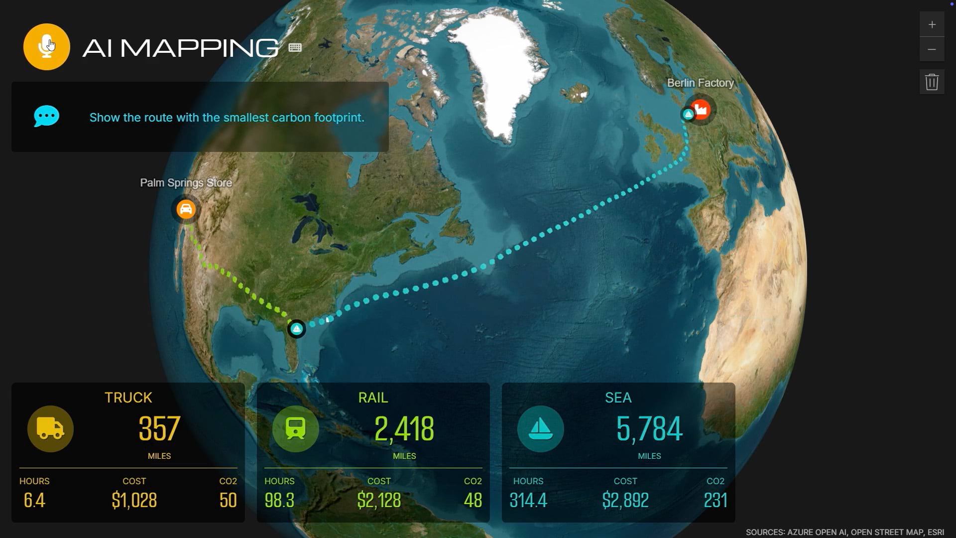
Highway roadsides could become powerful solar farms. Using GIS technology, planners are identifying which U.S. roadside stretches have solar potential and plotting underground power lines to carry that energy across the country. This innovative approach, led by The Ray and its partners, supports grid resilience as rising temperatures stress energy infrastructure and resources.
Discover how mapping tools are accelerating the energy transition.
Related articles
-
 May 1, 2025 |
Katie Olson |Mapping -
 April 4, 2024 |
Katie Olson |Resilience Video: From Data to Decisions: How NOAA Uses GIS to Forecast the Climate Future
-
 May 29, 2025 |
Katie Olson |Public Safety Video: Geospatial Tools Boost Hurricane Preparedness and Track Flood Risk
