May 19, 2022 |
Multiple Authors | Resilience
January 26, 2023
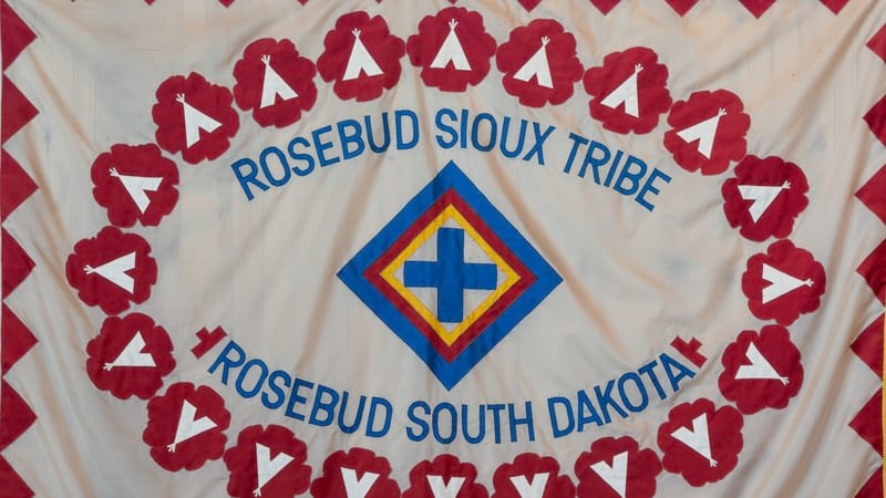
James Rattling Leaf, Sr., a member of the South Dakota Rosebud Sioux Tribe, recently participated in two White House events on climate action to convey how traditional ecological knowledge (TEK) can best be used, along with science, to address the impacts of our changing climate.
Rattling Leaf, a founding member of the Group on Earth Observations (GEO) Indigenous Alliance, has long used geographic information system (GIS) technology and earth observation technology to examine climate impacts and convey the tribal cultural values. He holds leadership roles with the University of Colorado-Boulder’s North Central Climate Adaptation Science Center, and the Ecological Society of America’s Traditional Ecological Knowledge Section.
In this interview, Rattling Leaf shares the role that GIS plays in safeguarding the environment—particularly in engaging younger generations to understand nature—and advocating for better stewardship of the land.
This interview has been edited and condensed.

A few weeks ago, I attended the memorial service for Dr. Lionel Bordeaux, one of the longest-serving university presidents in America. He gave me my start at Sinte Gleska University in 1998. During his memorial, I recalled how he came to my office with a letter about a global warming national assessment meeting in Atlanta, Georgia, and told me he wanted me to attend. That started my awareness of GIS, remote sensing, earth observation, and the science and data of global warming.
I recently got back from the UN Biodiversity Conference [the 15th Conference of the parties (COP15)] in Montreal, where I attended many Indigenous-led conservation meetings that deal with safeguarding biodiversity. I think we can really leverage these technologies now like we never have.
The idea of costewardship and comanagement of federal lands is something tribes have been pushing for. Now, we have Secretary Deb Haaland of the US Department of Interior, the first American Indian cabinet secretary. We have Chuck Sams, the first American Indian director of the National Park Service. We have new high-tech guidance for federal agencies to work with traditional ecological knowledge.
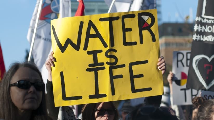
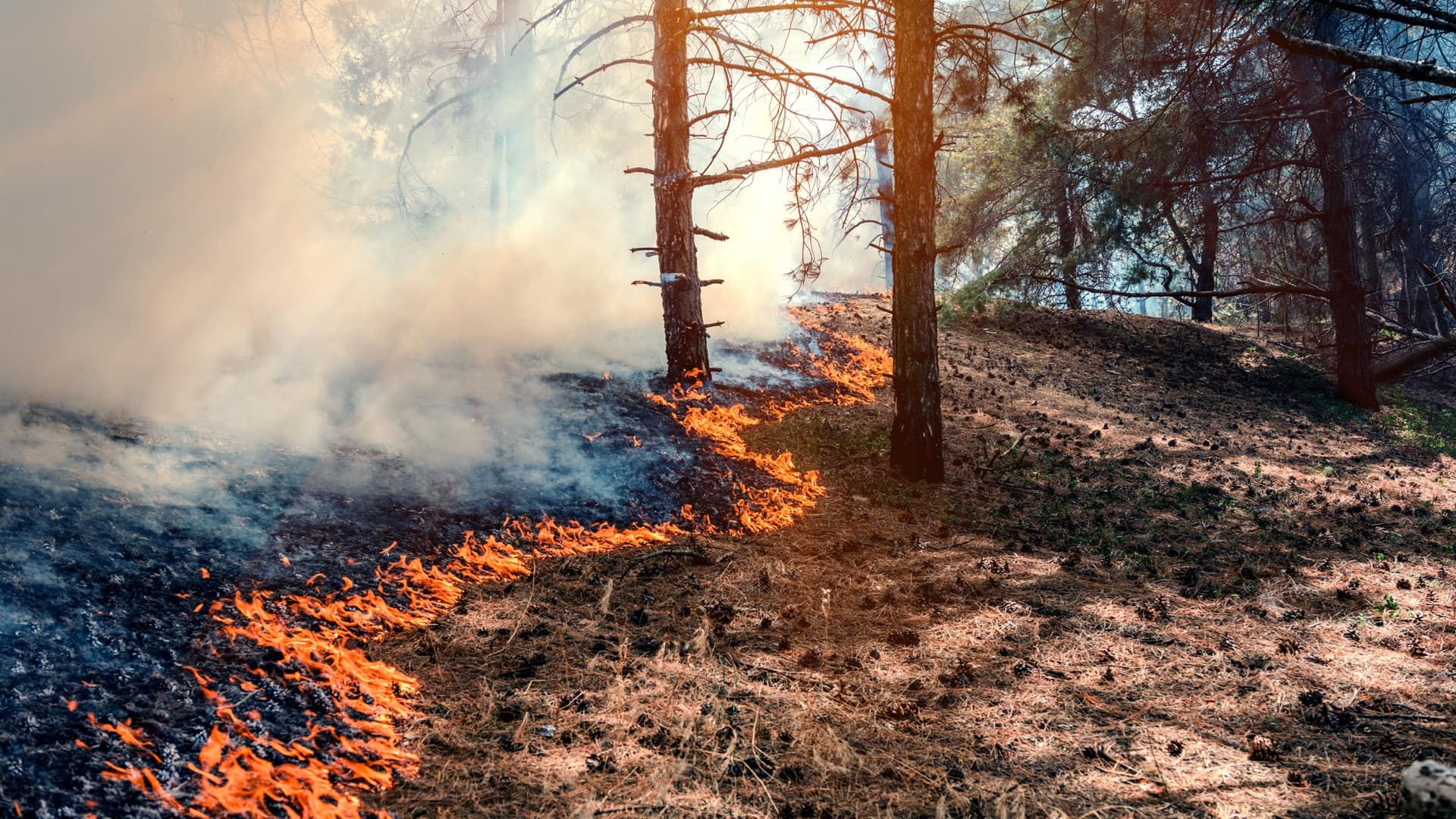
Maybe you saw the news story of the tribes on the Klamath River and how they’re taking down dams. Tribes have been saying that needed to happen for a long time, and I never thought I’d see that in my lifetime.
The communities and federal agencies are coming together to say, “This isn’t working, and we need to change it.” It’s not just the tribes advocating for this change, but it’s the tribes and their allies. There are plans backed by data, science, and traditional knowledge to tell the story about the importance of fish and the restoration of ecosystems they count on. That gives me hope.
We just received a $1.7 million grant from the Bureau of Indian Affairs Tribal Climate Resilience Program to create the Siċaŋġu (which is another word for ourselves) Climate Center. Beginning in January, we have the opportunity to build something that meets our needs and addresses our concerns.
The new center is going to focus on the role of data in decision-making. For instance, we are facing drought year after year. How are we going to adapt? Or how are we going to mitigate and plan for things like drought?
As our good friend Katharine Hayhoe says, it’s the people and the places that really matter. It’s connecting climate to the people, getting them to understand how it will impact them and the things they care about.
When I first saw GIS technology in 1998, I knew that it had to be part of our future, whether we used it as a tribe or to understand the data coming from state and federal governments. We need to know what’s happening in our world as things change.
The 35-plus tribal colleges across the country have used GIS in the classroom and for research. There’s this big push now in my work at CU Boulder with the Environmental Data Science Innovation and Inclusion Lab (ESIIL). It’s a five-year, $22 million National Science Foundation (NSF) funded center. I’ll be working with tribal nations, tribal colleges, and tribal students to help build and develop a model to increase tribal data scientists, applications, and data users, particularly in environmental science.
We’re excited about that because it’s another stream of development coming to Indian country. We’re hiring tribal data scientists at ESIIL, who are getting good jobs and doing the work that is needed.
Young people are not only taking ownership of data science, GIS software, and teaching but also the process. How do you work in a community? How do you collect data? How do you work with survey data so that the people that you’re collecting data from and working with understand what you’re doing and why it matters?
These young people will share the data and the science with our communities and be trusted allies, trusted liaisons, and trusted interpreters for this information.
We have good news and not so good news. The challenging news is that we’re losing our elders and, in particular, our language speakers in my community at a high rate. The primary leaders are in their mid- to late-70s. Who’s going to take their spot in the leadership in terms of our culture and furthering our language, our customs, and the connection to the land that’s so important to us?
We have a lot of work to build processes and to to transfer intergenerational knowledge from the elders of today to our young people of tomorrow. On the positive side, more programs are working on that issue. We must have a long view for this because nothing can happen overnight.
We take cues from people like the Māori in New Zealand who realized that they were going to lose everything if they didn’t turn things around. They said, “How are we going to bring back our language, our customs, and our culture? How are we going to re-indigenize the land, the schools, the government, the economy, the community, our leadership?” And they did it.
Our people went to New Zealand many years ago to witness and observe. It was a powerful time to see Indigenous people working with indigenous people to share best practices and how they dealt with complex issues like culture, land, equity, and degradation of the environment.
How do we work together with two different worldviews, two different understandings of the world, and how it works?
In our country, we’re at a reflection time. We’re thinking about our past and how to make it right with Indigenous people and people of color. These big questions of equity, diversity, inclusion, and justice are happening around us.
Our hope is that every community member has a chance to understand our issues by using data analysis and visualization. We’re all working hard to address serious problems, and we want to ensure that Indigenous voices are heard.
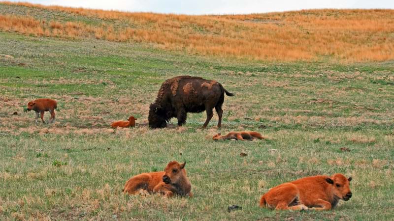
Climate change affects us all. Things are happening so fast that we need more timely information, more relevant information, and more accessible information.
We have a tremendous opportunity to teach people, to enhance values about the importance of nature, to hear different perspectives, and to do a better job of taking care of our natural places.
Learn more about how Native American tribes use GIS to make their organizations more efficient and effective.