April 7, 2026 |
Dr. Dawn Wright
| Mapping
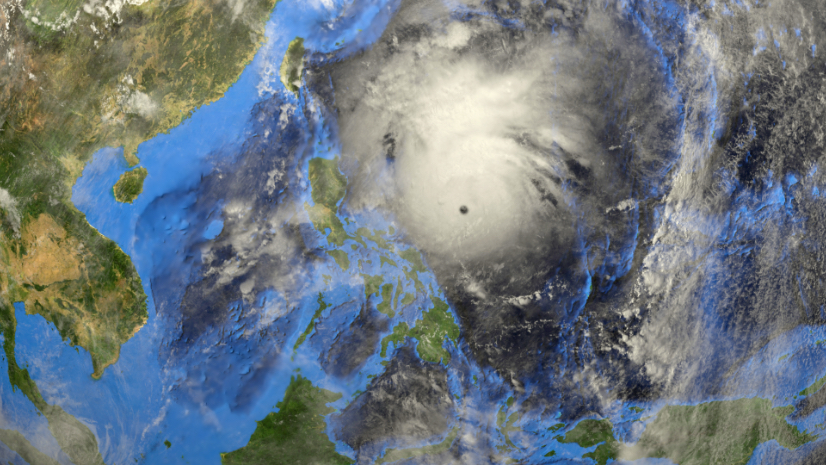
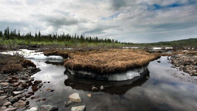
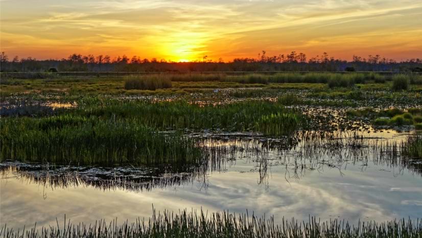
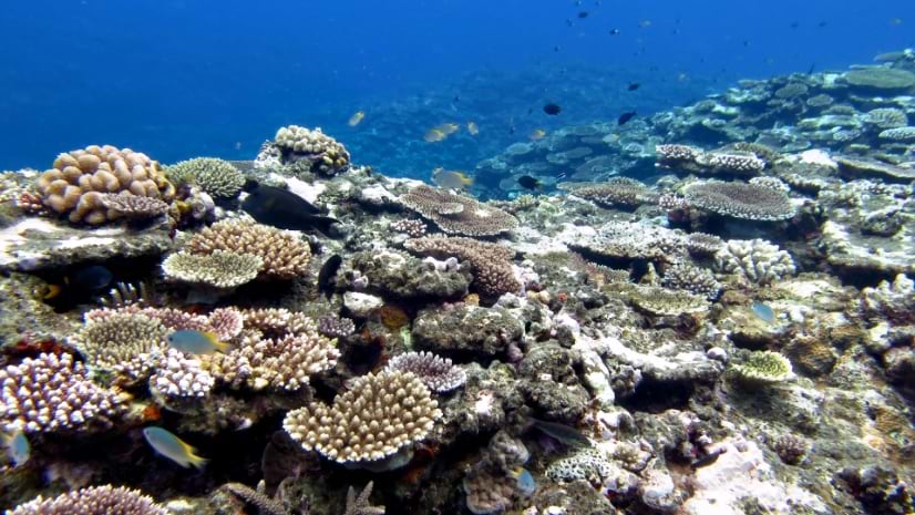
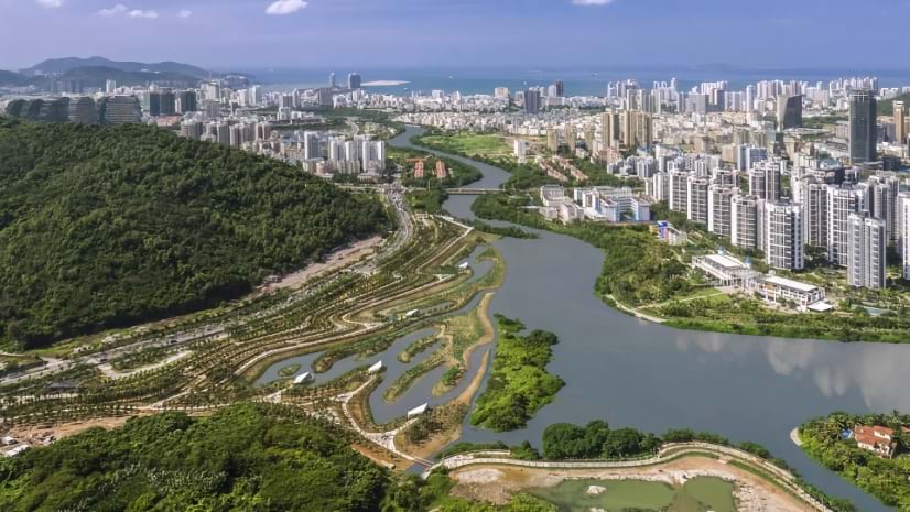
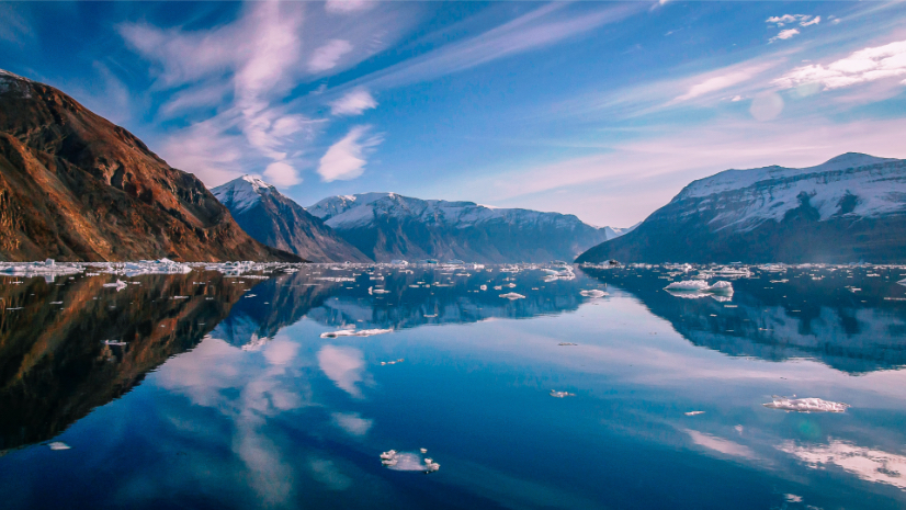
Organizations use GIS to reduce risk and adapt to environmental change. It helps communities map vulnerabilities, model future scenarios, and design more sustainable infrastructure systems.

June 9, 2026 |
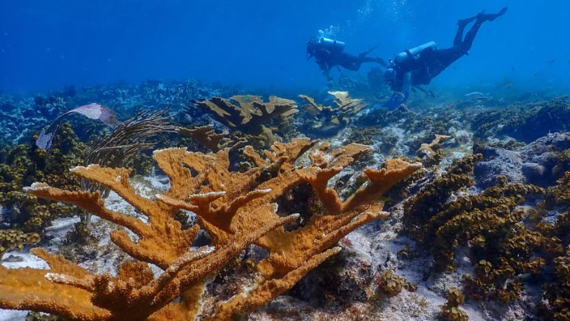
UNESCO knew where its sites were. Mapping their boundaries unlocked connections, threats, and findings no one expected.