GIS has become a connecting force, pulling disparate data from various systems together with data from outside sources to present a common picture.
August 16, 2017
Humans have never been more connected than we are today, and our modern maps are a key connector.
Maps have morphed to become
Perhaps most importantly, we have gone from struggling to navigate to new places, to being delivered via maps and navigation aids to whatever we want wherever it’s located.
Maps guide decisions
Just as modern maps guide individuals, they increasingly guide organizations.
Geographic Information Systems (GIS) brought mapping into the modern age. GIS creates a digital twin of our world. It acts as a system of record to capture the current state of things, and a system of insight to explore patterns and discover what has changed and why. GIS has improved our knowledge about place as more data has been recorded, updated, and analyzed—to be acted upon.
Users apply GIS to every human endeavor around the world. Scientists and resource managers use GIS to inform their understanding of our planet. Commercial and public organizations of all types use GIS to improve efficiency, decision making, and to reach their markets. Public safety organizations use GIS to provide a common picture for a coordinated response. Defense and national security agencies use GIS to gather intelligence and guide national security decisions.
GIS has become a connecting force, pulling disparate data from various systems together with data from outside sources to present a common picture.
Maps present possibilities
For centuries, maps rarely went beyond the essential static function of sharing what was known. GIS has transformed static maps to create dynamic maps that continue to improve in terms of detail and accuracy. GIS also enables analysis across both space and time for insights beyond just what is where.
GIS has become a connecting force, pulling disparate data from various systems together with data from outside sources to present a common picture. It acts as an integrator for a simplified and standardized understanding.
Spatial analytics allows organizations to work with layers of information, and to tease out insight from various sources to compare without visual complexity. It reveals patterns and relationships to expose trends and uncover hidden opportunities.
Inputs on the rise
Mapmaking made a giant leap forward with the invention of flight, with the new perspective providing a much more efficient means to map. Today, satellite constellations and drones are taking us another giant leap forward by expanding our top-down understanding of our world.
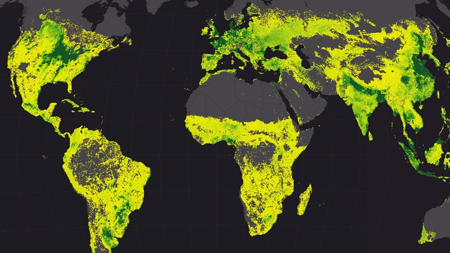
Commercial satellite providers capture each place on the planet every day. Drones can be flown quickly and cheaply to capture high-resolution imagery of things that are changing or have changed. We gain new insight on quickly changing places, such as updates to project sites or areas that have flooded.
The rise of satellites and drones accompany the rise in the types of sensors that are flown. Sensors tuned to specific tasks provide the means to capture everything from 3D models to the automated discovery of plant species and their health.
Ground-based sensors that make up the Internet of Things provide important map inputs by allowing us to track assets and create real-time moving maps. With all these fresh inputs, we can expect growing accuracy and new data that unlock new understanding.

Toward immersive outputs
Many technological frontiers will impact the very meaning of maps.
Mobile Devices Dominate—Maps provide an important interface within the most popular apps, such as Lyft for ride-sharing or Zillow for house hunting. Instead of having to interpret and fumble to find our current location on a map, the map centers on our position and delivers us to what we want to see and do. Our devices will continue to advance, adding further two-way interactions. See examples of configurable apps that make porting GIS to mobile devices easy and powerful.
Virtual Reality Leads to Augmented Understanding—3D data increase understanding and new workflows make it quick and easy to create. These highly detailed 3D data are powering virtual reality to allow us to immerse ourselves in realistic scenes. 3D also powers augmented reality applications that overlay important information on top of what we see around us. These immersive views bring a new type of map interaction, further easing understanding and eliminating abstraction.
Real-Time Maps—Streaming services that turn sensor feeds into services power real-time maps. These maps change before our eyes, populated with updates from such sources as environmental sensors (temperature, air quality, and noise) or transportation inputs (plane location, traffic conditions, and transit data). With this real-time information, our maps can guide us and power business decisions that include not just what’s happening now, but what will happen with predictive analytics. Learn more about Real-Time GIS.
As map inputs and outputs continue to expand, we can expect much more from our maps.
Learn how smart mapping makes mapping easier and more impactful.