
October 29, 2025 |
Este Geraghty, MD, MS, MPH, GISP | GIS for Good
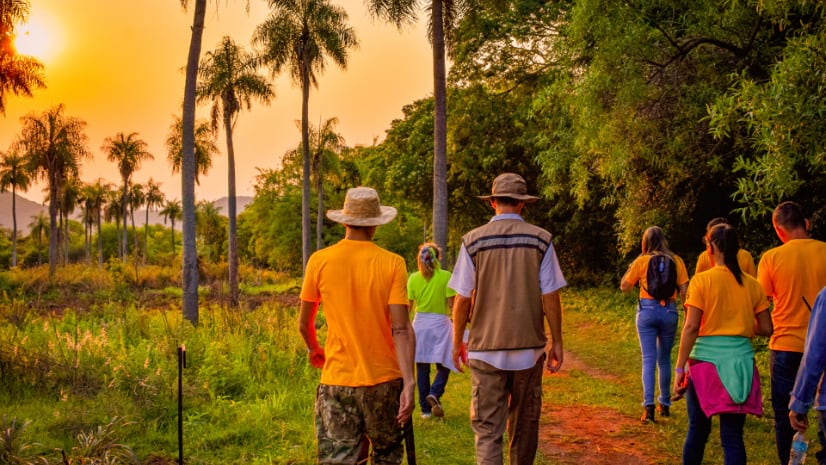
Less than four years ago, a person living in the rural Paraguay community of Tekohá Y’ Apo might have gone to the local medical office with the most basic of medical needs, only to be turned away.
At the time, the tiny wooden health office with a tin roof didn’t have the equipment and resources needed to help care for the community in a significant way, according to the Pan American Health Organization (PAHO).
Now, it does.
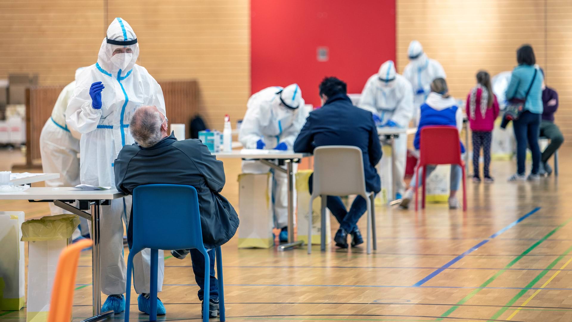
An initiative led by PAHO aimed to make primary medical care accessible to more people to prevent chronic metabolic illnesses. Elevated blood pressure, high blood glucose levels, and obesity are the top three metabolic factors globally that lead to premature death, particularly from cardiovascular disease and diabetes, according to the World Health Organization (WHO).
PAHO’s effort in Paraguay began with upgrades to 31 health facilities in the Canindeyú region, where about 250,000 people live, some 38 percent in poverty. Data, especially geospatial data, drove decisions about where to build new facilities or improve others.

PAHO, a part of WHO, has been using geographic information system (GIS) technology to identify needs, existing resources, population centers, and more.
“To every health challenge you have, location matters,” said Thiago Augusto Hernandes Rocha, PAHO’s data science advisor. Rocha said GIS is supporting each of PAHO’s five strategic objectives across the Americas: targeting immunizations, minimizing maternal deaths, making primary care more accessible, improving care for noncommunicable diseases, and helping ensure digital connectivity where health improvements are made. That has included monitoring the presence of antibodies in a population to determine whether an area was free of a disease, or if people needed vaccines. GIS has also helped local researchers visualize where and when maternal deaths in childbirth were happening, to better understand where to dedicate specialized resources, training, and medical equipment to safeguard pregnant women.
 to complement current facilities, creating an interconnected network where roads become lifelines connecting communities to care.")
In Canindeyú, the organization created an accessibility index using GIS to find populations with limited access to primary health care services.
Often, mapping existing health care facilities can be the first and largest challenge. What was different this time was the level of interest from Paraguay’s leaders. They had noticed PAHO’s work in Canindeyú. The country’s minister of health wanted to expand the effort nationwide and supplied the necessary data, including the locations of about 950 existing facilities.
“They got really excited about the possibility of using GIS to support policymaking and drive interventions to address real-world problems,” Rocha said.
Beginning in January 2024, PAHO spent 12 months researching where underserved populations lived, building up evidence to support the large investment that would need to be made.
That included checking the list of current facilities and their locations. Then, they analyzed satellite imagery with geospatial AI to estimate population distribution. Finally, PAHO’s health analysis team, together with Paraguay’s PAHO country office, layered epidemiological data on the map to see where maternal mortality, hospitalizations, and rates of diabetes and hypertension were highest. The results showed where people were in need but had no medical facilities within a reasonable driving or walking distance. Using deep learning methods, PAHO’s team then determined where there would be space to build a primary care facility in areas with existing electricity and access to transportation.
Through that process, PAHO planners determined that 556 new medical facilities were needed. Those new locations could assist 1.36 million people, or approximately 18 percent of Paraguay’s total population that didn’t have access to care before.
“We were only able to do this in Paraguay because we got the country’s support,” Rocha said. He hopes that by sharing this story, more countries might share Paraguay’s enthusiasm for GIS maps and analysis to assist in improving public health outcomes.
“It’s much easier to get the country’s support once you show them what can be done,” he said.

Rocha said it can be challenging to get the right momentum to turn data into tangible, practical solutions. This time, they had the technology, the data, and the national commitment to make the most of the analysis. “Everything aligned,” he said.
PAHO’s larger aspirations are focused on creating an accessibility index across the Americas to find more underserved populations who would benefit from nearby medical facilities. Beyond the Americas, PAHO and others at WHO are supporting the development of a Geolocated Health Facilities Data initiative that would help in creating a list of health facilities worldwide.
Knowing where current health facilities exist is foundational to knowing where to make investments for future needs. For residents of Canindeyú, and much of Paraguay, it has meant better care, closer by, and adequate resources so those in pain or in need won’t be turned away.
Learn how a location-based approach to health care can significantly improve health outcomes.