November 5, 2021 |
Audrey Lamb | Natural Resources
When the forest-rich state of Oregon amended the Oregon Forest Practices Act via Senate Bill 1602 to regulate how and where herbicide and pesticide may be sprayed on private forestlands, it required forest landowners to share activities in near real-time.
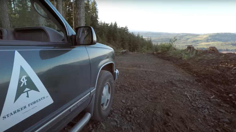
At Starker Forests, a fifth-generation family-owned land company located in Corvallis, the regulation arrived as the business was implementing information technology updates. Foresters at the company have used geographic information system (GIS) technology for decades to map their work, but it had been more of an individual tool without much collaboration. With the reporting requirement, Starker decided to adopt Web GIS, with all foresters sharing data about the forest and their work.
“There are a ton of possible systems, but so much of what we do is tied back to on-the-ground geography that no matter what we use to collect, store, and manage our activities data, we were still going to be using GIS,” said Rick Allen, reforestation forester at Starker.
Allen is one of several foresters at Starker Forests who are soon to retire and the company was eager to make improvements to data collection systems. The idea had been to streamline the company’s recording system to capture the institutional knowledge of this cadre of professionals—who, during their careers, had achieved sustainability certification from the American Tree Farm System—before they left the company.
Oregon’s new rules reinforced the need to evolve from a paper-based process, which the company had used for decades, to a faster mode of record keeping. “We wanted to automate the process and eliminate how paper tends to stack up,” Allen said.
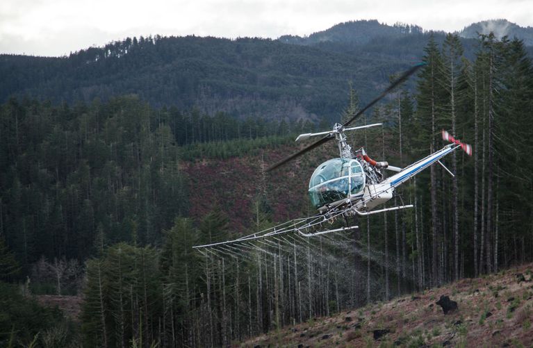
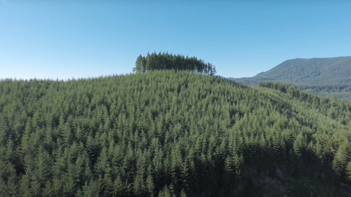
Allen made the shift to take on the IT challenge after spending a career in reforestation, which includes managing forest site preparation, tree planting, and herbicide applications. Herbicides are used in the first few years of a forest plantation to hold back invasive species and other vegetation that competes for sunlight and moisture with planted seedlings. “The company prioritizes the reforestation process as an investment for the future, getting new trees in the ground within a year after harvest is the goal so that they’re off to the races,” Allen said.
With the legislation, the Oregon Department of Forestry extended buffer zones to keep the spray further away from homes, schools, and streams. Forestry is one of the most heavily regulated industries in the state. The extended buffer zones further protects people, drinking water, and fish habitat.
Allen sees the value of better spraying documentation for Starker’s own purposes. This new system will allow any of the professional foresters to quickly locate and check the historical records for the herbicide applications .
“We found that trying to go back in time over paper records to figure out what nursery stock was planted and from which nursery, weather conditions, what chemicals were applied, and the application rates, could be tedious and hard to figure out.” Allen said.
Starker had investigated investing in an enterprise resource planning system—a large database—but opted to build new tools using GIS.
With the commitment to GIS, the Starker team worked alongside Esri Professional Services to build field apps for specific workflows. The mobile-first approach meant that the tools would be utilized first in the forest to capture details specific to the different operational phases, from harvesting to reforestation.
Addressing end-to-end workflows with tailored tools often starts with ArcGIS Survey123, an app with simple forms that record data that can then be analyzed in the office. The data also feeds dashboards built with ArcGIS Dashboards to show progress toward goals such as the yearly planting of more than 500,000 trees.
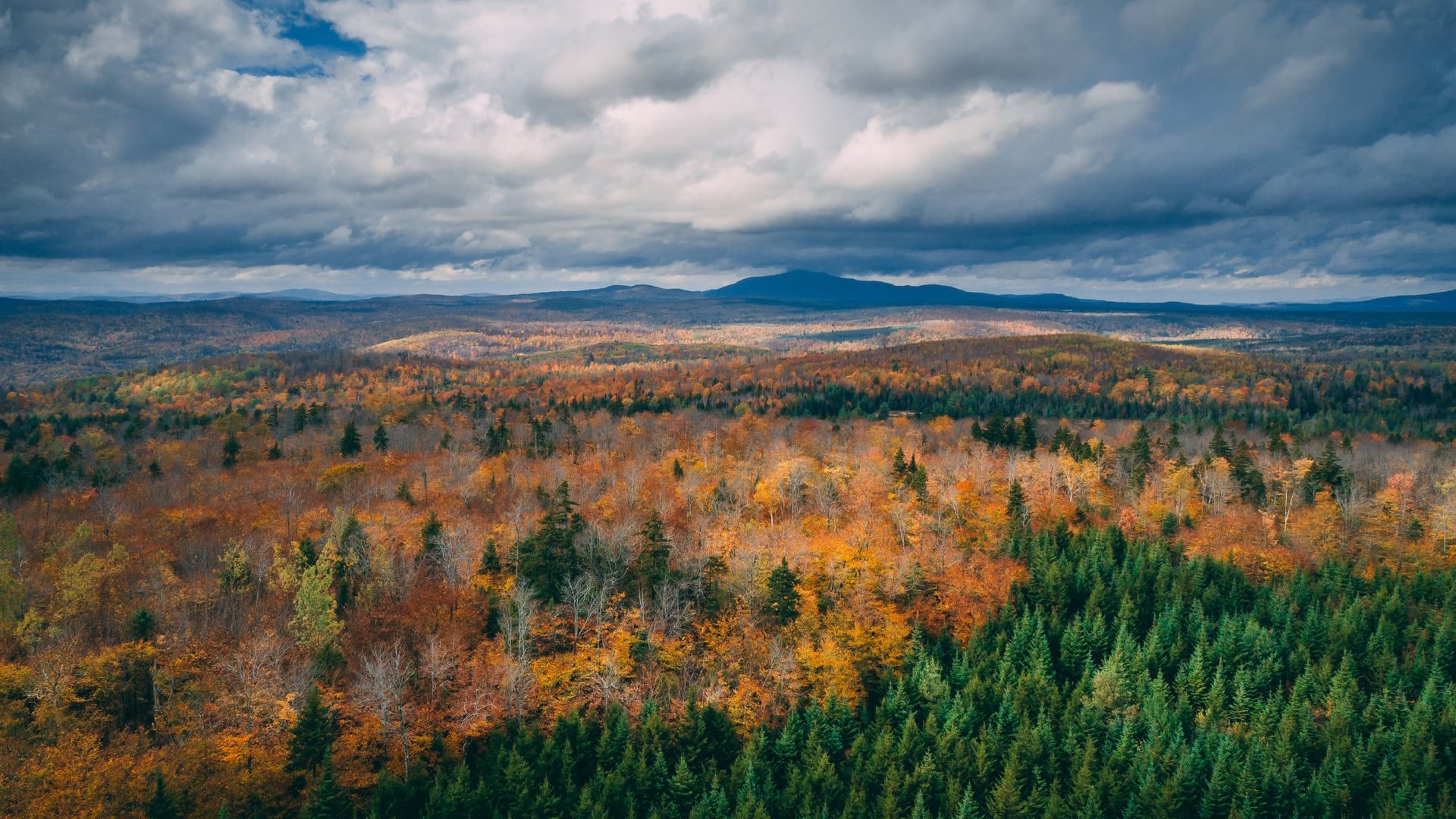
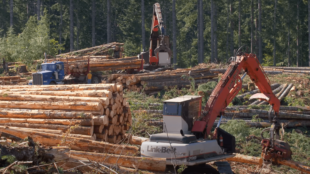
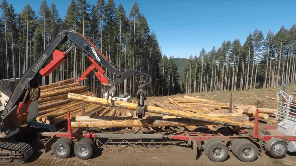
Starker foresters manage more than 90,000 acres of coast range forests, including Douglas-fir, Oregon white oak, western red cedar, western hemlock, ponderosa pine, Oregon ash and grand fir. The company doesn’t own a mill, or the mechanized equipment used to harvest trees. Instead, it uses contractors to harvest trees approximately 1,000 acres per year, with some thinning and clear-cutting.
With the new tools, the foresters have realized time savings for repeatable workflows and gained a better understanding of the health of the forest. Every year, hiring ramps up in the summer for forestry interns who take an inventory of portions the forest. They check for survival of the trees planted in prior years and gather details on competing vegetation that might trigger the need to apply herbicide in order to help the seedlings survive.
“A dashboard helps us quickly look at thousands of plots to see where we have issues,” Allen said. “We share that information with our board and use it to make management decisions.”
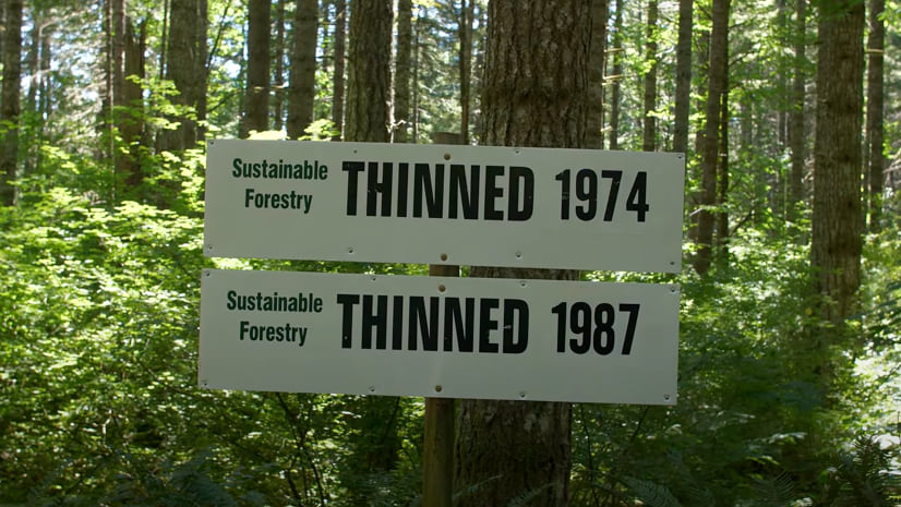
Starker Forests is certified by the American Tree Farm System, which audits and validates the company’s management practices. The certification process ensures that the company’s management plan improves air, water, and soil quality while managing habitat for wildlife and cutting back on invasive species.
Water quality is one of many things that Starker carefully manages. The cable logging system the company uses pulls cut trees to the top of ridges and away from streams and wetlands. Road construction and maintenance are improved to minimize erosion to keep water clean. Buffers are maintained for spraying and harvesting to protect streams.
Allen and the IT team are working now on harvest planning and scheduling workflows to improve those processes.
“Everything starts with the harvest, and then all subsequent workflows follow—site preparation, spraying, tree planting, and thinning,” Allen said. “With the dashboard, the person responsible for each step can look and see when each process will be done for each unit so they can make sure a contractor is scheduled to move in when the prior work is finished.”

Starker has a long history of sustainable forest management and is focused on improving tracking of sustainability metrics, with a dashboard that tracks seedling survival and growth, silvicultural treatments for young stands, and wildlife projects. The dashboard and data it collects demonstrates sustainable growth and harvest levels across the acres it owns. This allows the foresters to identify areas for improvement and plan for future generations.
Under a stewardship agreement with the State of Oregon, a landowner that shows commitment to protecting natural resources, such as water and fish and wildlife habitat, can gain long-term regulatory certainty without fear of further restrictions by sharing evidence that it follows Forest Practices Act rules. Beyond better planning, the enterprise-level GIS that Starker has deployed makes it easier to monitor and report the actions the company takes.
“It has been a process of awakening,” Allen said. “We identified early on that what we needed was more integration, moving from a culture of independent work by 12 people with 12 different workflows, to a single repository where we can see the status of the forest and all our work.”
Learn more about how forest managers gain operational efficiency with GIS.