November 15, 2022 |
Josiah Dallmann | Natural Resources
February 14, 2023
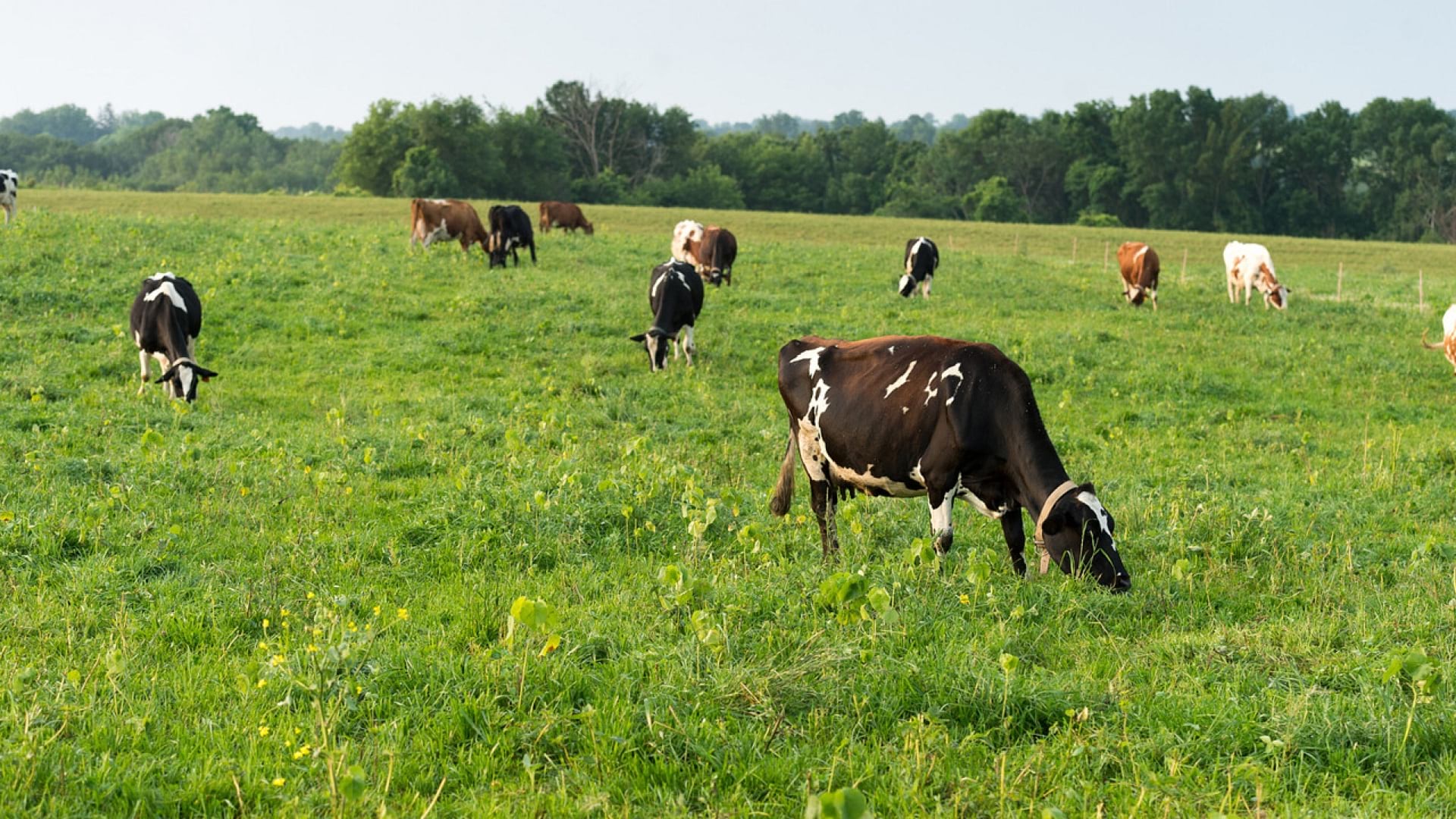
As a cornerstone of American agriculture, cattle production is too big to fail. The US Department of Agriculture (USDA) values the industry at roughly $81 billion, nearly 18 percent of the $462 billion generated annually by agricultural commodities.
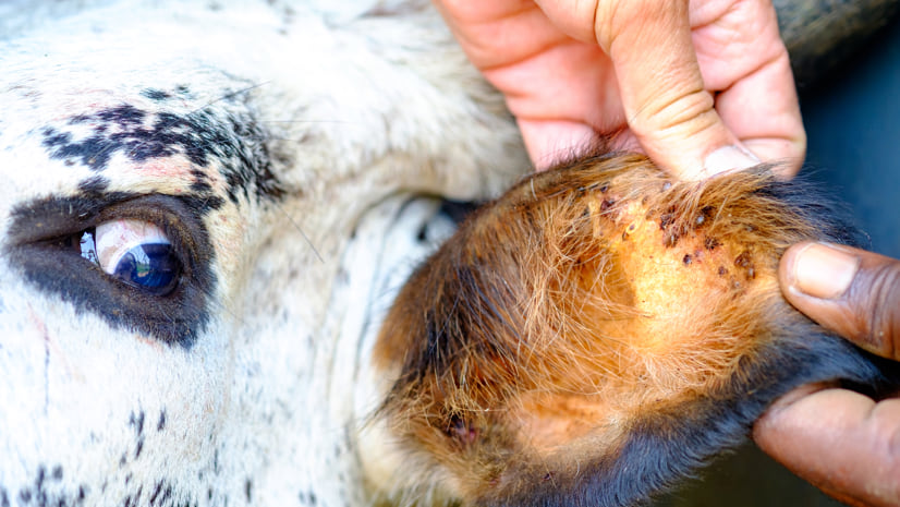
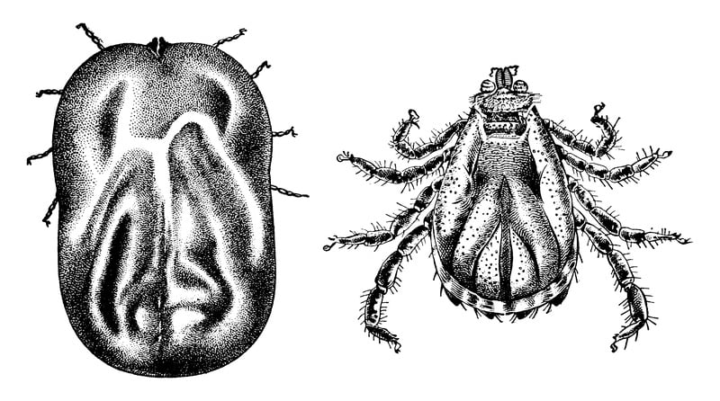
The cattle fever tick, an arachnid with the power to disrupt and disable this industry, once called much of its namesake continent its home.
“Draw a line from San Antonio east to Washington, DC,” said Bob Miller, a national program leader at the Agricultural Research Service (ARS), the division of USDA charged with finding solutions to agricultural problems. “This tick is endemic to everything south of that.”
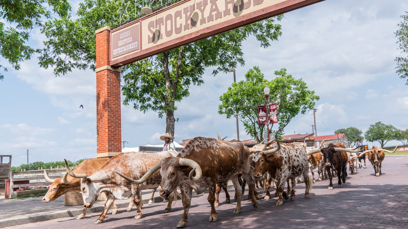
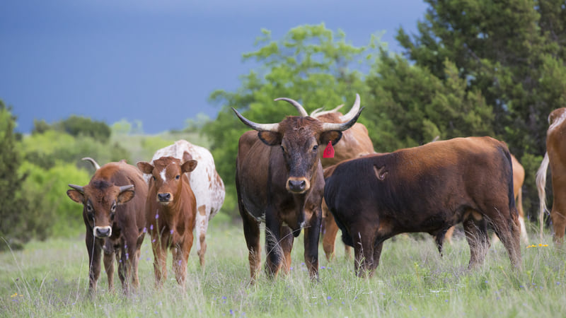
Texas, the epicenter of the cattle industry, is where the cattle fever tick can do the most damage. It can seriously mess with Texas—and, by extension, the entire US economy.
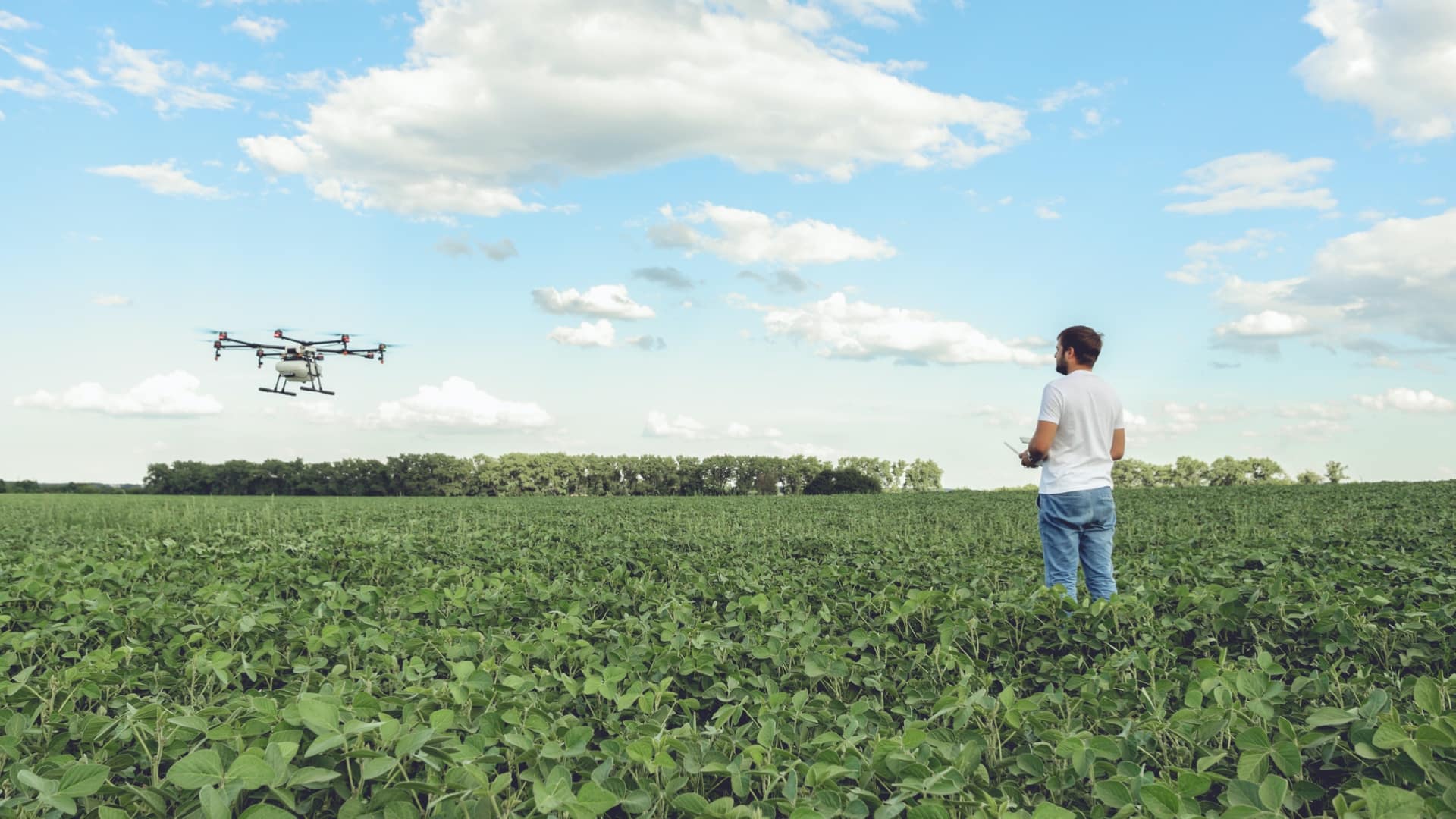
For over a century, the USDA has worked to ensure this tick is all but eradicated. The cooperative effort with state agencies began in 1906, and program is now administered by the ARS through the Animal and Plant Health Inspection Service (APHIS). The effort now involves the Partnerships for Data Innovations (PDI) team, a collaboration between technology leaders, academia, and USDA to use big data to find solutions to the biggest challenges facing the agricultural community. This group now has powerful new tools that give it a near-real-time awareness of the efforts to fight the tick. The agency uses geographic information system (GIS) technology to organize cattle treatments, and generates up-to-date maps with GIS-based field apps that provide ARS with a way to monitor conditions.
The effort requires continuous vigilance. Measuring as small as 3 mm, ticks swell to grape size when feasting on cattle blood.

“They reproduce in really high numbers—a single tick can lay up to 4,000 eggs—and they can just sit there in a field, and if you put cattle there, they can infest them in high numbers and potentially exsanguinate them,” Miller said, using the technical term for draining enough blood to cause organ failure and death.
The good news is that ARS has a long history in the successful control of the cattle fever tick. An eradication program, begun in the early 20th Century, managed to rid the nation when the tick was upending the industry.
The story begins in the 19th Century, with the big cattle drives in southern Texas. Vast herds were led across the plains, bound for railheads in Kansas and on to the industrialized meat packing plants in Chicago that processed as many as 18 million head of livestock annually.
Cattle began mysteriously dying in large numbers all along the path north. Survivors of what was soon called “Texas fever” spread the malady to other herds. Eventually, Texas longhorn were halted and barred from moving north, sometimes at gunpoint.
In 1888, the USDA took on the case, with researchers from the precursor agency to ARS doing the detective work. The problem, they discovered, was a parasite the cattle fever tick carries that destroys the cow’s red blood cells, causing extreme anemia.
By moving the infected survivors into new areas, the cowboys had spread the disease. Animals that were exposed and survived acquired immunity—calves seemed particularly adept at this, while adults experienced a mortality rate between 70 and 90 percent. The cows that survived continued to spread the ticks and the disease more widely.
Solving the riddle resonated beyond the cattle industry. The USDA commemorates the discovery as the “first time in history that a disease agent was proven to be transmitted from an infected animal to an uninfected one by means of an intermediate host.”
In 1906, the USDA implemented the tick eradication program, at great scale and expense. Each farm needed to be visited, and at that point each cow needed to be dipped in a bath of arsenic.
The fight spanned 40 years, with an immense amount of work from farm to farm, that finally eradicated the cattle fever tick across the US. Today, it is confined to the Permanent Tick Quarantine Zone between the Texas towns of Del Rio and Brownsville, ranging in width from 125 yards to about eight miles. This zone marks the border between where the tick has been eradicated, and where ARS is watchful of strays wandering north across the US-Mexico border.
“We have outbreaks constantly because the Rio Grande River is not that big, and cattle are gregarious,” Miller said. “They like to go back and forth, and they bring ticks with them. Other wildlife can also spread them.” Eradication efforts also remain ongoing in Puerto Rico.
The process of tracking tick outbreaks needs to be approached carefully and methodically. Often whole herds need to be quarantined, which means they can’t be moved or sold, causing considerable financial harm to the rancher. So tick inspectors take great care in the monitoring process.
In the past, when investigating new tick control methods, this work often required someone running each cow through an inspection chute and counting the number of ticks while calling out information to someone else who would write it down. That person would consult a weight chart to determine the correct treatment dose. Later, back at the office, someone else would enter the data into a spreadsheet and they might misread or mistype some data.
Every step provided an opportunity for errors. Even when it worked, the process was slow. Any conclusions drawn from the data were done well after the fact once the data had been organized.
ARS has worked to automate as much of this workflow as possible, with a GIS-based app that allows the user to immediately enter the data via a handheld device.
The workflow includes ArcGIS Survey123 to record the data, taking a GPS fix to note the location where it was gathered, and an RFID reader to capture each cow’s details from its ear tag. The app, and the ear tag, have eliminated a lot of time and data entry in the process.
Miller emphasized the importance of having current information about tick situations, considering alternative forms of control to stay ahead of pesticide resistance.
“It’s instant gratification,” he said. “I can have a crew in Puerto Rico and be at my desk, watching the data come in. If the dosing seems wrong, or the tick numbers are coming up ridiculously high, I can contact them. That wasn’t possible when we were capturing things on paper. It could take weeks to get all the data in spreadsheets and graphs. Now you can put it up on a dashboard and the graphs populate themselves.”
Miller and other managers can also control the system, focusing on individual efforts or aggregating the data for a big picture view across a region, a state, or the whole US. ARS opens the system to various partners, including departments of agriculture in states and academic partners. ARS has the ability to control who has access to different levels of data, which opens the collaboration on this tough problem to the country’s best minds to safeguard a vital industry.
“We just have to modify one dashboard to fit everyone’s needs,” he said. “We don’t have to build it from scratch every time.”
The tick tracking system also generates maps that allow ARS to stay a step ahead of an unfolding outbreak. The GPS coordinates of an infested farm give clues about where ticks might be headed next.
“The tick inspectors see it on their phone, notice the adjacent farms, and say, ‘I’ve got to go to these farms, because the map just told me what I need to know,” Miller said. “Without the knowledge of the premises, and the location of different pastures, the tick inspector was always kind of guessing.”
These maps increase efficiency, revealing not only the ranches that need treatment, but also where pesticide doses can be dialed back. They also provide an intuitive means to view locations in relation to the quarantine zones.
The maps, unlike those generated by prior GIS systems used by ARS, can be immediately disseminated. “In the past, whenever we found an infested farm, we’d have to create a map and email it three days later,” Miller said.
Michael Buser, another national program leader on the ARS tick eradication program, said the agency is looking to adapt similar automation workflows to other projects. “We’re working now with groups studying silage and pollinators, building on top of some of the tools we already have,” he said. “We’re also doing similar things with soil carbon analysis, so that researchers can coordinate and figure out where they’re going to pull samples.”
Miller likes how it can be used for different things, and by anyone that needs to capture or access more data, from private farmers to universities. “Whether you’re studying pigs or goats or sheep, it’s super-helpful to understand these problems spatially. I’m hyper-focused on ticks and cattle, but anybody could benefit from this kind of data automation,” Miller said.
Learn more about how GIS supports farmers for data-driven sustainable agricultural production.
View the video below to learn more about the Partnerships for Data Innovations and the kind of agricultural challenges this group addresses by applying advanced analytical methods to the big data volumes that USDA ARS employees and partners are collecting.