April 16, 2026 |
Katie Olson | Video
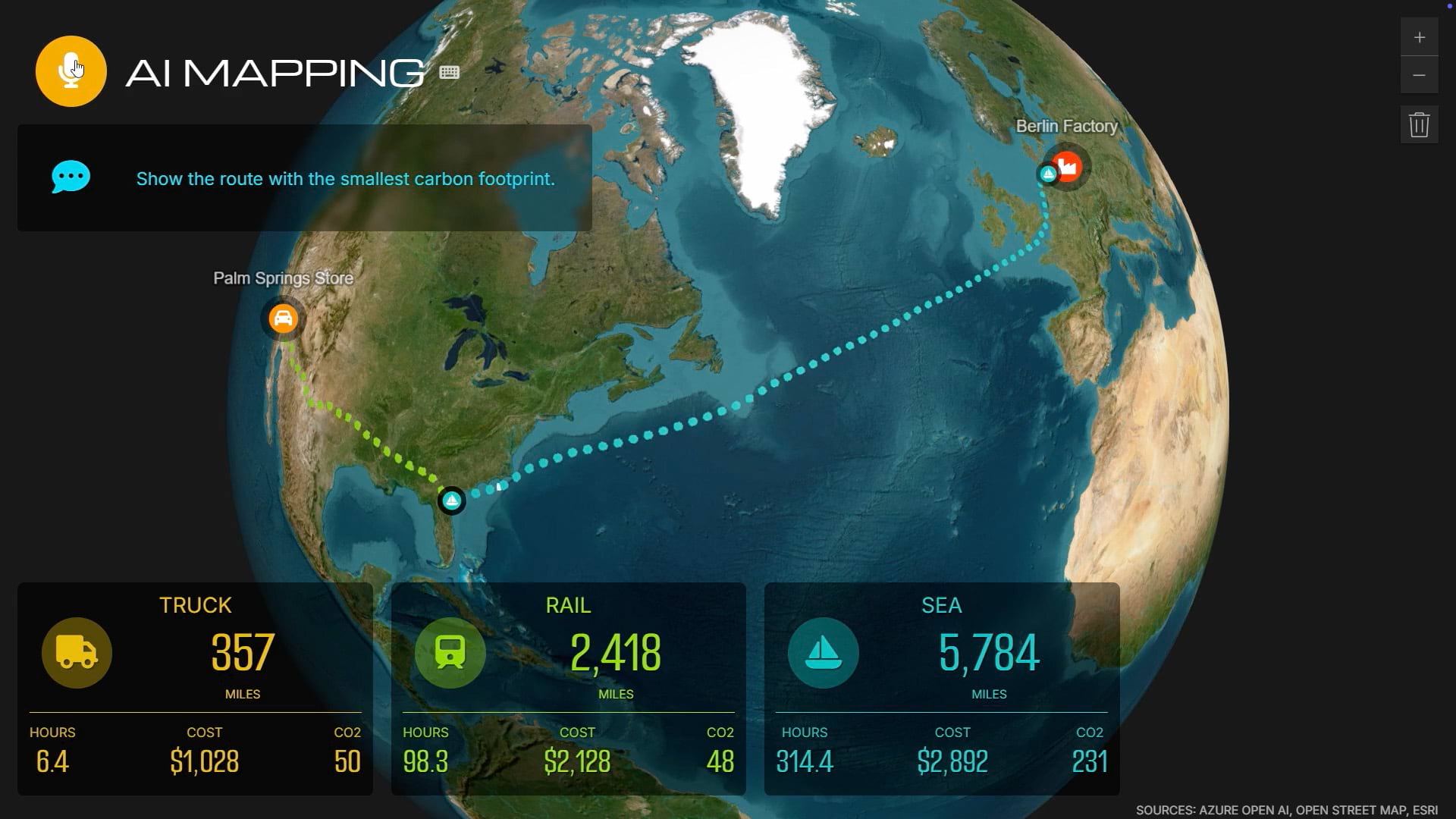
Before a skier heads downhill, a digital map has already flagged which runs are stable. Utility crews use the same kind of map to see pipes, equipment, and field conditions as one system instead of scattered reports. Telecommunications teams use it to find exactly where service gaps are costing them customers. Three industries, one idea: when everyone’s looking at the same map, decisions get faster and better.
Learn how people use GIS to solve complex problems, make smarter decisions, and build resilient systems.