September 5, 2023 |
Sunny Fleming | Conservation
All Articles
-
-
August 31, 2023 |
Alex Pasternack To Build a New Pollution Map, the US Turned to Thousands of Volunteers
-
August 29, 2023 | Multiple Authors |
GIS for Good How Unjust Is Your Environment? The CDC’s New Map Will Show You
-
August 22, 2023 | Multiple Authors |
Conservation Los Angeles County Maps Equitable Access to Nature, Remediates Degraded Lands
-
August 21, 2023 |
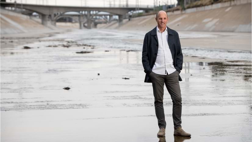
Alex Pasternack |Resilience Mapping LA’s Flood Risk at Unprecedented Detail Reveals Hidden Risks
-
August 15, 2023 |
David Gadsden |Conservation Indigenous Knowledge, Captured on Maps, Aims to Protect Congo Basin Diversity
-
August 8, 2023 |
John Beck |Public Safety Mapping Makes an Impact in the Fight to Reduce Child Exploitation
-
August 1, 2023 |
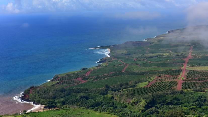
Judy Fung |Infrastructure Can a Historic Hawaii Community Modernize without Losing What Makes It Unique?
-
July 25, 2023 | Multiple Authors |
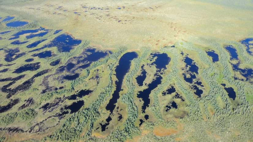
Conservation Saving Canada’s Peatlands to Help Stabilize the Climate
-
July 18, 2023 |
Holly Tripp |Mapping The SAR Satellite Revolution: New Possibilities with 24/7 Earth Views
-
June 29, 2023 |
Lain Graham Drone Monitoring Tackles Growing Algae Threat to California's Famous Lake Tahoe
-
June 20, 2023 | Multiple Authors |
Public Safety New York City Maps Saturday Night Lights Program—Safe, Fun Havens for Teens
-
June 6, 2023 |
Carrie Speranza |Public Safety In Florida, Interactive Maps Tell the Story of Modern Risk Mitigation
-
May 23, 2023 |
Greg Milner |Infrastructure Geospatial Digital Twins Offer Unmatched Clarity for Complex Systems
-
May 16, 2023 |
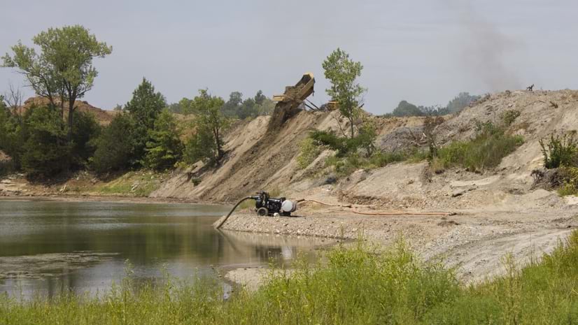
Sunny Fleming |Conservation EPA Inspires Community Revitalization with Maps of Superfund Opportunities
-
May 11, 2023 | Multiple Authors |
Public Safety Frisco, Texas Finds Success with a Public Safety Digital Twin
-
May 9, 2023 |
David Gadsden |Conservation How Do You Help Rhinos Thrive in the Wild? Give Rangers a Data Collection App
-
May 2, 2023 |
Anthony Schultz |Public Safety Portugal Revamps Wildfire Resilience after Devastating Fires
-
April 27, 2023 |
Karen Sullivan |GIS for Good Maps Help Communities Isolated by Highways Chart a New Future
-
April 25, 2023 | Multiple Authors |
Infrastructure A Digital Twin of Ports and Channels Helps Army Corps Maintain US Waterways
-
April 20, 2023 | Multiple Authors |
Resilience Environmental Digital Twins and Earth Stewardship
-
April 18, 2023 |
Dr. Dawn Wright |Mapping NASA Scientists Embark on a Historic Project to See All the World’s Water
-
April 13, 2023 |
Matt Ball The Smithsonian Museum Uses Immersive Maps to Spark Wonder and Offer Hope
-
April 11, 2023 |
Matt Piper |Infrastructure A Network Digital Twin Helps Brazil Utility Expand Renewable Energy