April 6, 2023 |
Multiple Authors | Infrastructure
All Articles
-
-
March 30, 2023 |
Sydney Rich |Infrastructure Digital Twin Boosts Growth, Sustainability Planning in Maryland County
-
March 28, 2023 |
Alex Pasternack |Resilience NYC: Few Cities Are Doing More to Map and Respond to Rising Waters
-
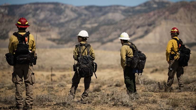
March 21, 2023 |
Anthony Schultz |Resilience Wildland Firefighters Resist Hero Label and Focus on Teamwork
-
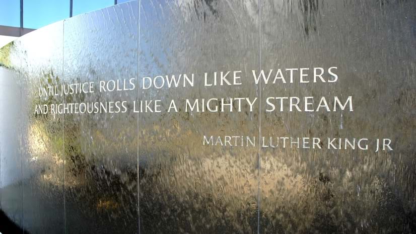
March 14, 2023 | Multiple Authors |
GIS for Good The History of Justice, Race, and Equity—Educators Create Maps to Foster Unity
-
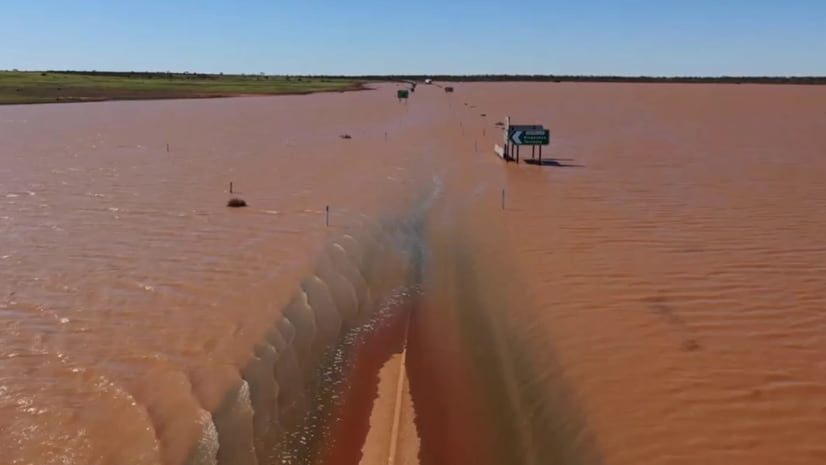
March 9, 2023 | Multiple Authors |
Public Safety Drone Mapping Boosts Response to Australian Flood Damage
-
March 7, 2023 |
Patricia Cummens |Infrastructure North Carolina Maps Internet Deserts to Bring Broadband to Rural Counties
-
February 28, 2023 |
David Gadsden |Conservation Mapping a Nature-Based Solution to Human-Elephant Conflict
-
February 21, 2023 |
Sunny Fleming |Conservation To Protect Trees, Atlanta Nonprofit Maps and Measures Benefits
-
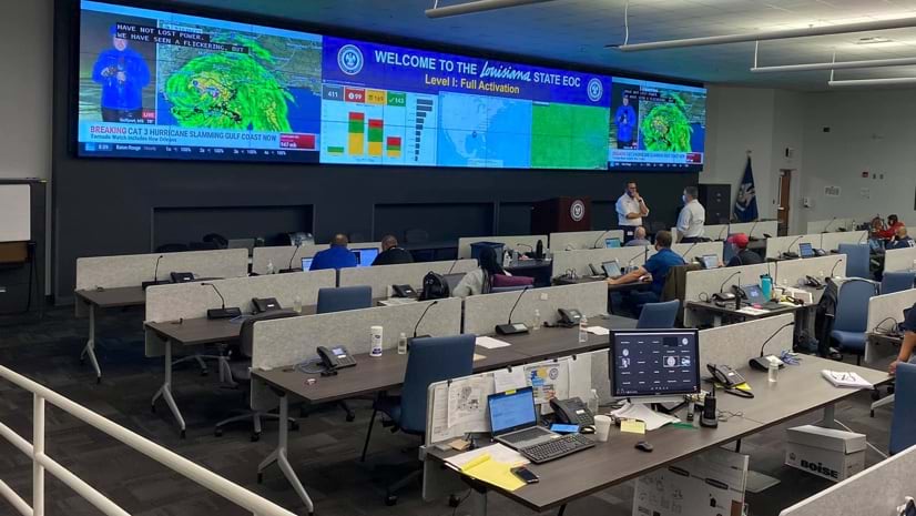
February 16, 2023 |
Carrie Speranza |Public Safety Emergency Management Gets Boost from GIS Innovations: Louisiana
-
February 14, 2023 |
Nick Short |Natural Resources A Geographic Approach Helps the USDA Stay One Step Ahead of the Cattle Tick
-
February 7, 2023 |
Terry Bills |Infrastructure Maryland: Smart Maps, Drones Help Residents See Statewide Roadway Construction
-
February 2, 2023 |
Patricia Cummens |Infrastructure How LA Uses Maps of People and Place to Fill in Broadband and Equity Gaps
-
January 31, 2023 |
John Beck |Public Safety Berkeley Police Move Beyond Open Data toward True Transparency
-
January 26, 2023 |
Anne Taylor |Resilience Responding to the Climate and Nature Emergency with Indigenous Knowledge
-
January 24, 2023 |
Terry Bills |Infrastructure Digital Transformation of Airport Inspections: Miami International
-
January 19, 2023 | Multiple Authors |
Conservation The Economic Value of Parks: NYC
-
January 16, 2023 |
Clinton Johnson |GIS for Good The NAACP Sees Digital Maps as Tools for Modern Civil Rights Action
-
January 12, 2023 |
Holly Tripp |Mapping Modeling Pompeii: A New Era of Tech-Driven Collaboration in Archaeology
-
January 10, 2023 | Multiple Authors |
Infrastructure In Australia’s Fastest-Growing City, a Digital Twin Guides Rail Expansion
-
January 3, 2023 | Multiple Authors |
Infrastructure Vodafone Creates Country-Scale Digital Twins to Engineer Better Networks
-
December 15, 2022 | Multiple Authors |
Public Safety Ashland, Oregon: Maps Guide Work to Reduce Wildfire Impacts
-
December 13, 2022 | Multiple Authors |
Public Safety Lasting Lessons in Search and Rescue from Hurricane Ian Response
-
December 6, 2022 |
David Gadsden |Conservation Safeguarding Africa’s Protected Areas and Wildlife Using a Holistic Strategy