December 1, 2022 |
Dr. Dawn Wright | Resilience
All Articles
-
-
November 29, 2022 | Multiple Authors |
Conservation National Audubon Society Maps the Wondrous Routes of Bird Migration
-
November 23, 2022 |
David Gadsden |Conservation Disaster Brings Conservation Awareness; Maps Bring Even More
-
November 21, 2022 |
David Gadsden |Conservation Tacare: How a Global Conservation Movement Started with Community-Created Maps
-
November 17, 2022 |
Tom Baker |Mapping High School Students Use Mapping Tech to Protect the Unhoused from Wildfires
-
November 15, 2022 |
Josiah Dallmann |Natural Resources Largest Organic Co-op Uses Custom Maps to Guide Grazing and Pasture Stewardship
-
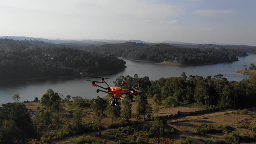
November 10, 2022 |
Olivier Cottray |Public Safety Drone Mapping in Mozambique Helps Find Flood Victims, with AI Assistance
-
November 3, 2022 |
Patrick Wallis |Resilience Data for Decision: Transforming Facilities to Combat Climate Change
-
November 1, 2022 | Multiple Authors |
Natural Resources Targeted Grazing: How Cows in Canada Protect Communities from Wildfire
-
October 27, 2022 |
Patricia Cummens |Resilience LA’s New Chief Heat Officer Expands Cooling Centers Based on Equity Maps
-
October 25, 2022 |
Dr. Dawn Wright |Mapping Robots with a Purpose: Collecting Data to Answer Scientific Questions
-
October 20, 2022 |
Karen Sullivan |Mapping Reveal: Researchers Can Now Virtually Explore Places Once Out of Reach
-
October 18, 2022 |
Ryan Lanclos |Public Safety How Geography Shapes Life for Migrants: Sri Lanka
-
October 13, 2022 |
Christa Campbell |Infrastructure Using the Geographic Approach, Technology to Understand a Global Water Crisis
-
October 11, 2022 |
David LaShell |GIS for Good Taking Pride in NYC Diversity: NYPD Creates a Map of LGBTQIA+ Resources
-
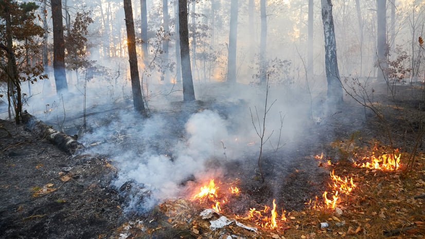
October 6, 2022 |
Anthony Schultz |Public Safety Wildfire Mitigation Happens Best with Shared Maps
-
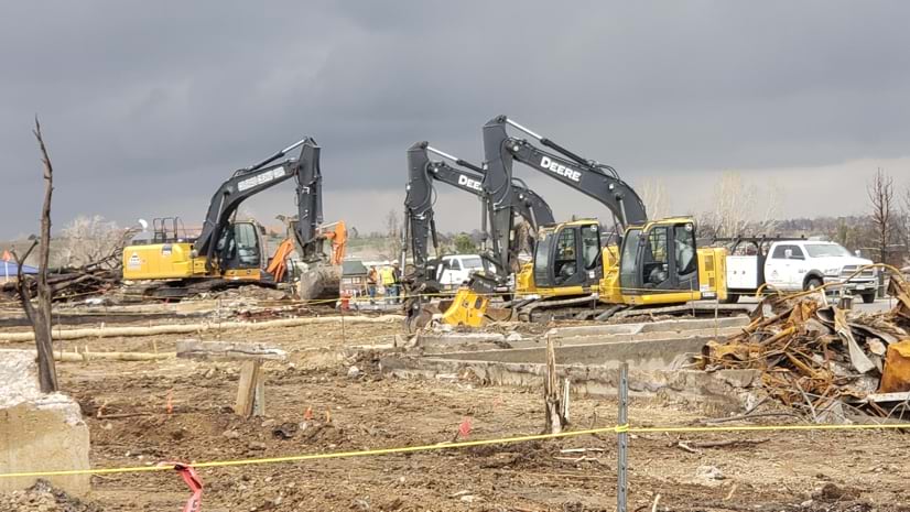
October 4, 2022 |
Anthony Schultz |Public Safety After Natural Disasters, CDR Maguire Innovates, Cleans Up Debris with GIS
-
September 28, 2022 |
Brooks Patrick |Infrastructure In Prague, Urban Designers Chart a New Future for a Historic Neighborhood
-
September 22, 2022 |
Christopher Thomas |Infrastructure Amid EV Boom, Illinois Town Embraces Data-Driven Infrastructure Investment
-
September 20, 2022 |
Linda Peters |Mapping Marking 50 Years, United Arab Emirates Maps Growth and Quality of Life
-
September 16, 2022 |
Patricia Cummens |Resilience Portal Helps Communities Assess Exposure to Climate Hazards
-
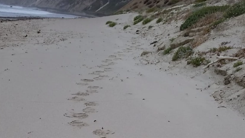
September 13, 2022 | Multiple Authors |
Conservation Protecting Point Conception, California—Maps and Sensors Aid Science
-
September 6, 2022 |
Judy Fung |Infrastructure Bringing a Stalled California City to Life: How 3D Models Move It Forward
-
September 1, 2022 |
David Gadsden |Conservation Community-Led Conservation Creates Sustainable Super Fruit Market in the Amazon