August 30, 2022 |
Christine Ma | Infrastructure
All Articles
-
-
August 23, 2022 |
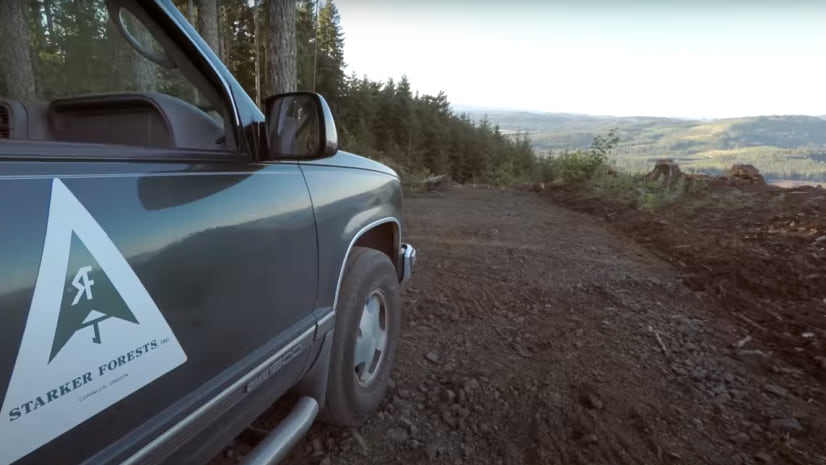
Scott Noulis |Natural Resources Starker Forests Documents Workflows for Sustainable Forestry
-
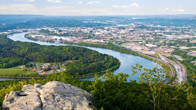
August 16, 2022 |
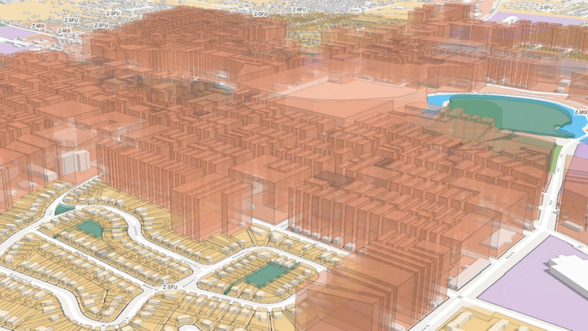
Sydney Rich |Infrastructure Digital Twin Provides Clear Picture of Southeast Michigan's Revitalization
-
August 4, 2022 |
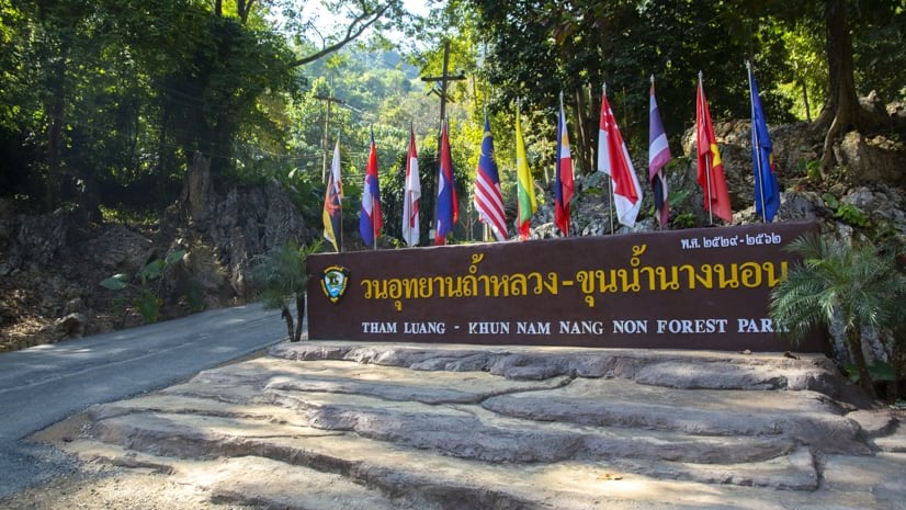
Ryan Lanclos |Public Safety "Thirteen Lives": How the Thai Cave Rescue Exemplifies Collaborative Action
-
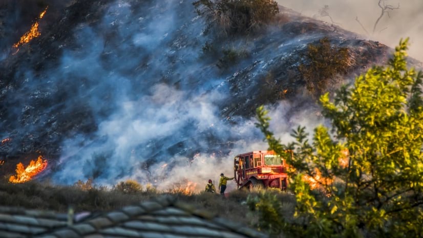
August 2, 2022 |
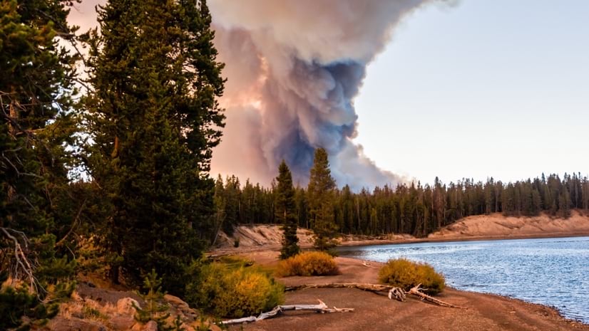
Anthony Schultz |Public Safety Real-time Wildfire Awareness Emerges from Firefighter Cloud Collaboration
-
July 27, 2022 |
Matt Ball Remapping Rights-of-Way for Renewable Energy and Pollinators
-
July 24, 2022 |
Ryan Lanclos |Public Safety When Crisis Ensues, MapAction Volunteers Map the Road to Safety
-
July 19, 2022 | Multiple Authors |
Conservation Unlocking a Statewide Understanding of Water Quality in Kentucky
-
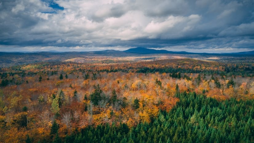
July 14, 2022 |
Anthony Schultz |Resilience By Ranking Wildfire Risks, National Park Service Protects Valuable Features
-
July 12, 2022 | Multiple Authors |
Conservation Striking a Balance Between Conservation and Growth—Maps Show How
-
July 7, 2022 |
Chris Fowler |Resilience Singapore Builds a Massive Maritime Spatial Atlas to Manage Climate Change
-
July 6, 2022 |
Jack Dangermond |Conservation Celebrating Our Chief Scientist's Voyage of Discovery to Challenger Deep
-
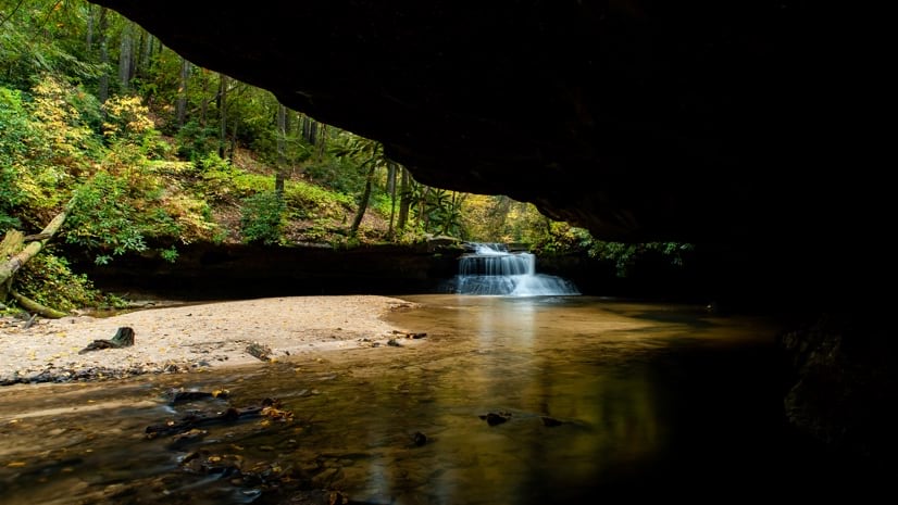
June 28, 2022 |
Scott Noulis |Natural Resources Smart Maps Help Maine Foresters Manage "Magic Forest"
-
June 21, 2022 |
Dr. Dawn Wright |Conservation Mapping a Complete Picture of Oysters, Heroes of Our Environmental Crisis
-
June 19, 2022 |
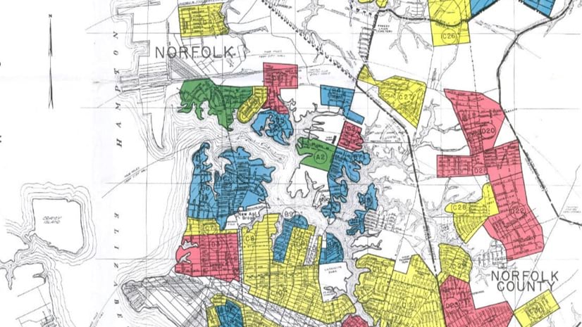
Kimberly Hartley |GIS for Good Geographer Turns Academic Research on Social Inequalities into Art Exhibit
-
June 16, 2022 |
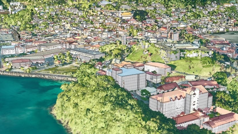
Linda Peters |Resilience Climate Change Prompts Grenada to Create the First National Digital Twin
-
June 14, 2022 |
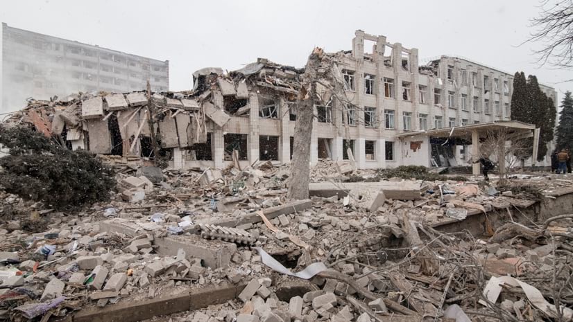
Chris Oxendine |Public Safety Ukraine: Open-Source Data Aided Response and Documents Damages and Atrocities
-
June 7, 2022 |
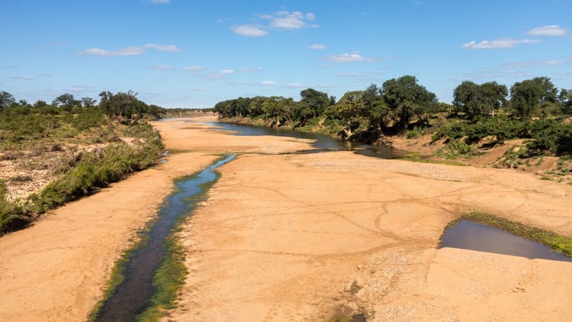
David Gadsden |Conservation In One of Earth's Driest Countries, Smart Maps Help Protect Water Supplies
-
May 31, 2022 |
Sydney Rich |Urban Planning Connecticut: How Maps of Past Contamination Focus Redevelopment in Cities
-
May 26, 2022 |
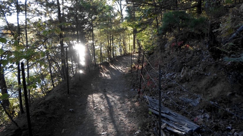
Sunny Fleming |Conservation Massachusetts Hikers Go Exploring with Smart Map Trails App
-
May 24, 2022 |
Steve Gay |GIS for Good CalEnviroScreen: A Geographic Approach to Environmental Justice
-
May 19, 2022 | Multiple Authors |
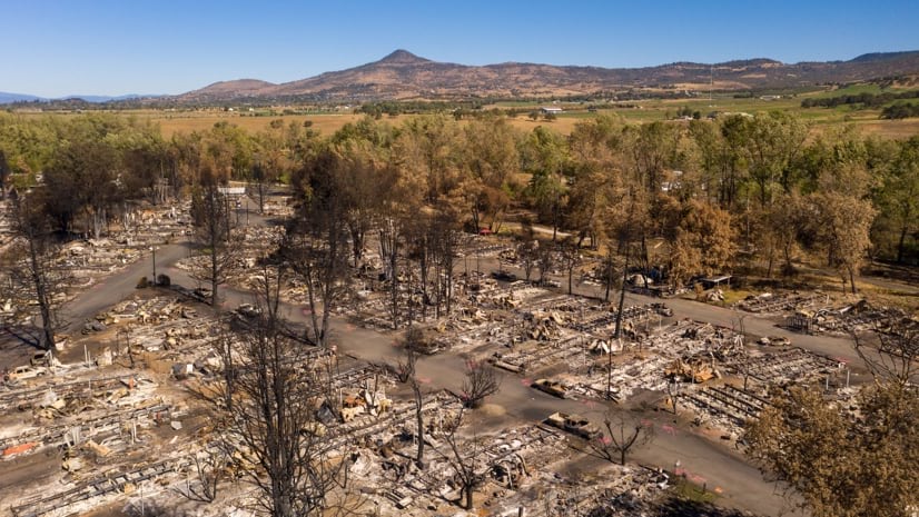
Resilience Tribe Maps Where to Burn to Restore Northern California Forest to Balance
-
May 17, 2022 |
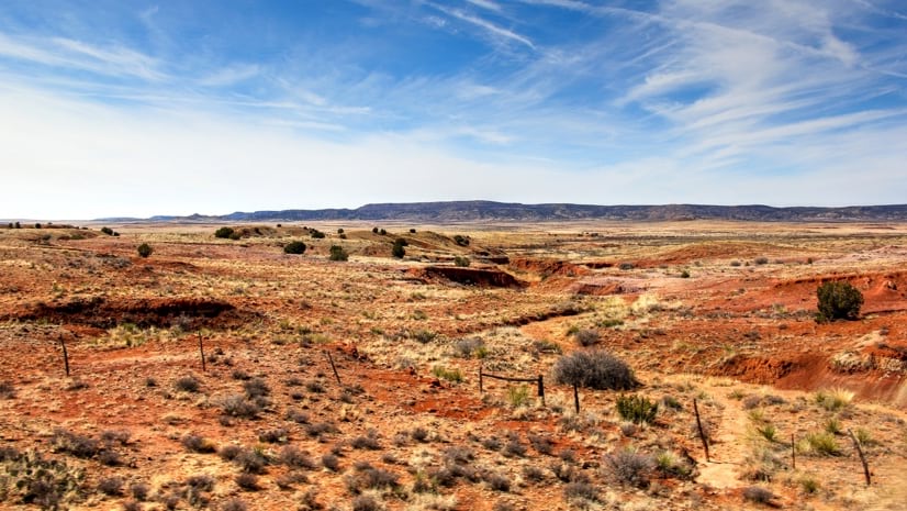
Patricia Cummens |Resilience New Mexico Maps Climate Risks to Inform Climate Action
-
May 10, 2022 |
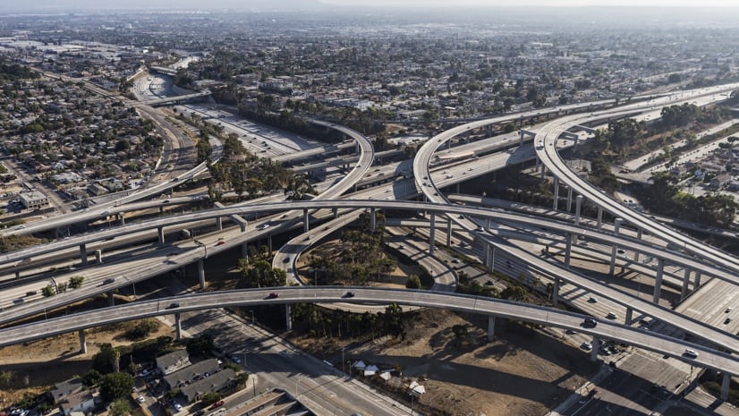
Nick O'Day |Mapping Q&A: Open Data Gives Los Angeles a Boost in Community Collaboration