December 7, 2021 |
Keera Morrish | Infrastructure
All Articles
-
-
December 2, 2021 |
Christopher Thomas |GIS for Good Can Mapping Help Mend Social Divides?
-
November 30, 2021 |
Mike Bialousz |Resilience Wildfire Restoration: Mapping a Climate-Resilient Camp Fire Recovery Plan
-
November 23, 2021 |
Greg Milner |Public Safety After the Evacuation of Afghanistan, Offering Hope to Those Left Behind
-
November 16, 2021 |
Jen Van Deusen |GIS for Good Nairobi: Maps and Data Storytelling Empower Action for the Urban Poor
-
November 11, 2021 |
James Miller |Resilience In the Philippines, a Shared ‘Disaster Imagination’ Supports Resilience
-
November 9, 2021 |
Christopher Thomas |GIS for Good Maps Help Ensure Equitable Distribution of Infrastructure Funds in Montana
-
November 5, 2021 |
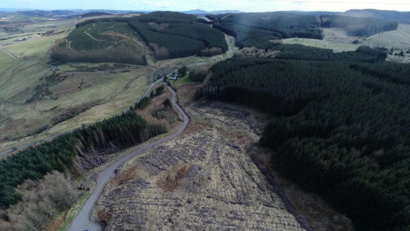
Audrey Lamb |Natural Resources Drones, Imagery Bring Precision Agriculture Concepts to Forestry
-
November 2, 2021 |
Jen Van Deusen |Natural Resources Is the Key to Achieving Global Sustainability to Think Like an Islander?
-
October 26, 2021 |
John Beck |Public Safety St. Louis Police Share Maps, Apps and Dashboards to Improve Public Safety
-
October 21, 2021 |
Terry Bills |Infrastructure San Francisco Airport’s Dynamic Twin Has Transformed Operations
-
October 18, 2021 |
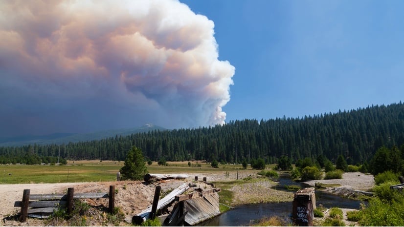
Ryan Lanclos |Public Safety CAL FIRE Applies New Predictive and Tactical Tools to Fight Ferocious Fires
-
October 12, 2021 |
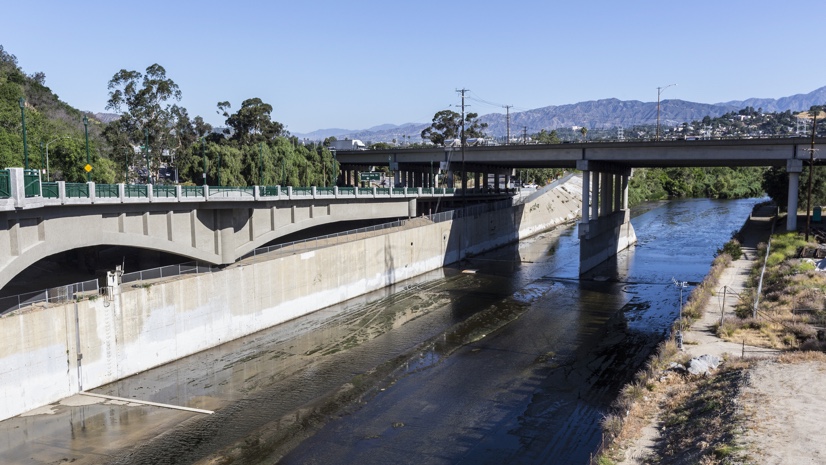
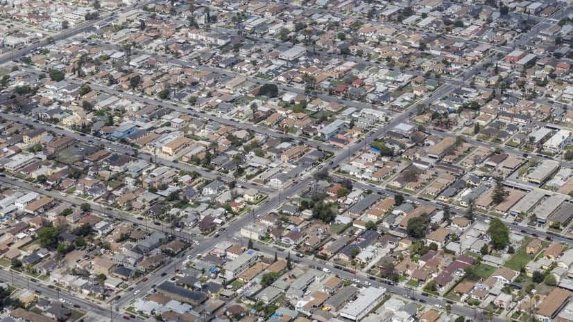
Ryan Perkl |Infrastructure Equity in Urban Design: For LA River Revitalization, Numbers Are Not Enough
-
October 11, 2021 |
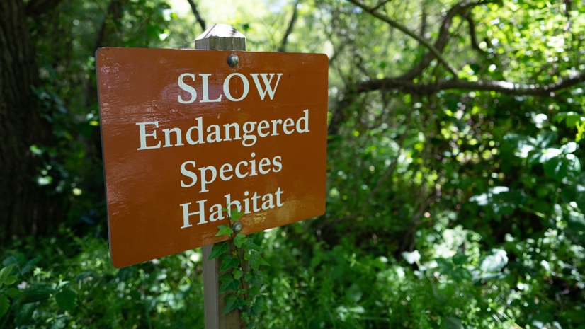
Dr. Dawn Wright |Conservation Applying Science and Mapping to Safeguard Species: Half-Earth Project
-
October 5, 2021 |
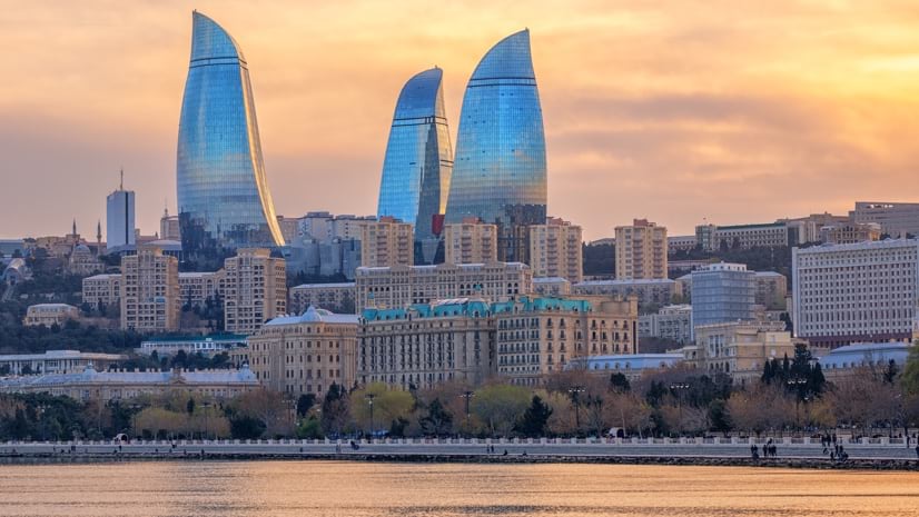
Brent Jones, PE, PLS |Infrastructure Building a Cadastre System that Monitors Working Lands in Azerbaijan
-
September 28, 2021 |
Este Geraghty, MD, MS, MPH, GISP It’s in the Wastewater: How UC San Diego Senses and Maps COVID-19
-
September 23, 2021 |
Steve Gay |GIS for Good For Equity and Environmental Justice, USC’s Manuel Pastor Knows Maps’ Power
-
September 22, 2021 |
Mike Cox |Public Safety Fire Safety Benefits from Digital Transformation—Missouri
-
September 14, 2021 |
Este Geraghty, MD, MS, MPH, GISP |GIS for Good How Maps Inform Public Health Decisions in San Bernardino County
-
September 10, 2021 | Multiple Authors |
Public Safety A Look Back: How a GIS Team Guided Response and Recovery After 9/11
-
September 7, 2021 |
Greg Milner |Mapping What a Big Data Approach and Geospatial Tools Reveal about Human Mobility
-
August 31, 2021 |
Ryan Perkl |Conservation Canadian Scientists Collaborate to Map Biodiversity and the Human Footprint
-
August 26, 2021 |
Kimberly Hartley |Mapping Reveal: Seeing Near Real-time Changes on Earth with New AI Map
-
August 24, 2021 |
Anne Taylor |Infrastructure Expediting Water Relief for the Navajo Nation