May 2, 2022 |
John Steffenson | Natural Resources
All Articles
-
-
April 28, 2022 |
Ryan Lanclos |Public Safety How Visualizing Ice Storm Damage Aided Salem’s Emergency Response
-
April 27, 2022 |
Matt Piper |Infrastructure Illinois Utility Transforms Hundreds of Acres into Pollinator Habitat
-
April 22, 2022 |
Dr. Dawn Wright |Conservation Earth Day: Upping Ocean Protection and Putting a Pause on Seabed Mining
-
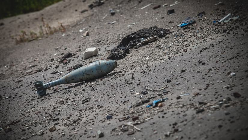
April 12, 2022 | Multiple Authors |
Public Safety Ukraine: The HALO Trust Maps Landmines and Explosive Remnants of War
-
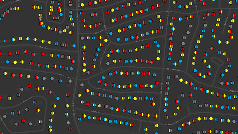
April 7, 2022 | Multiple Authors |
GIS for Good Becoming an Antiracist City: Tacoma's Data-Driven Transformation
-
April 5, 2022 |
Beau Ryck |Mapping How Indoor Mapping Is Reshaping How We See the World
-
March 29, 2022 |
Christa Campbell |Infrastructure Race is On to Remove Lead Pipes from Under the US
-
March 22, 2022 |
Patricia Cummens |Resilience Mapping Renewable Energy Potential with Help from NASA POWER
-
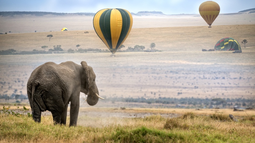
March 17, 2022 |
David Gadsden |Conservation Conservation Mapping: How Does Technology Help Kenya’s Elephants?
-
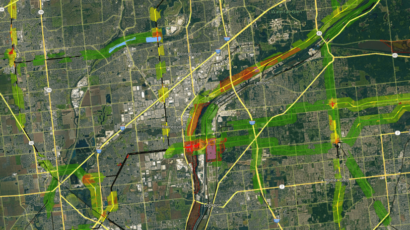
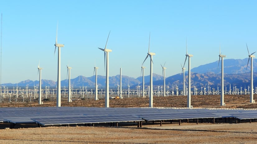
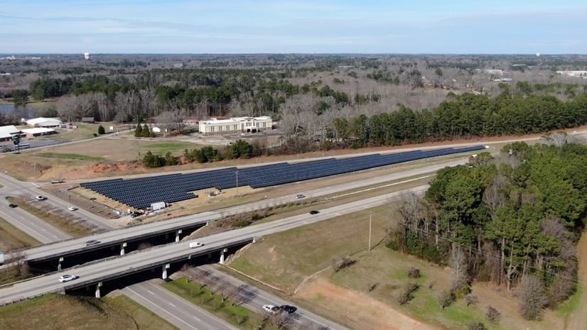
March 2, 2022 |
Terry Bills |Infrastructure Transforming Land around America’s Vast Highways for Solar Development
-
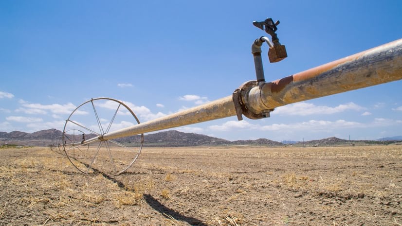
February 24, 2022 |
Christa Campbell |Infrastructure With an Eye on Every Field in California, Land IQ Watches Water Use
-
February 15, 2022 |
Terry Bills |Infrastructure Virginia Ahead of Curve on Prioritizing Infrastructure Projects
-
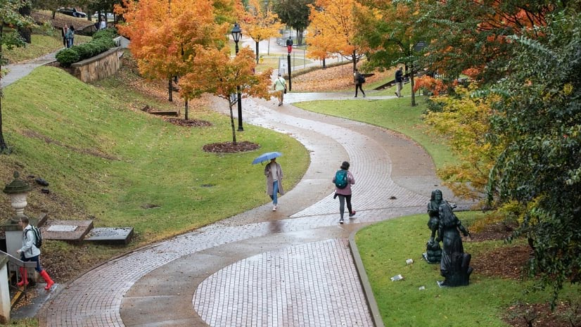
February 10, 2022 |
Audrey Lamb |Natural Resources How Mapping Trees Helped a University's Urban Forest Thrive
-
February 8, 2022 |
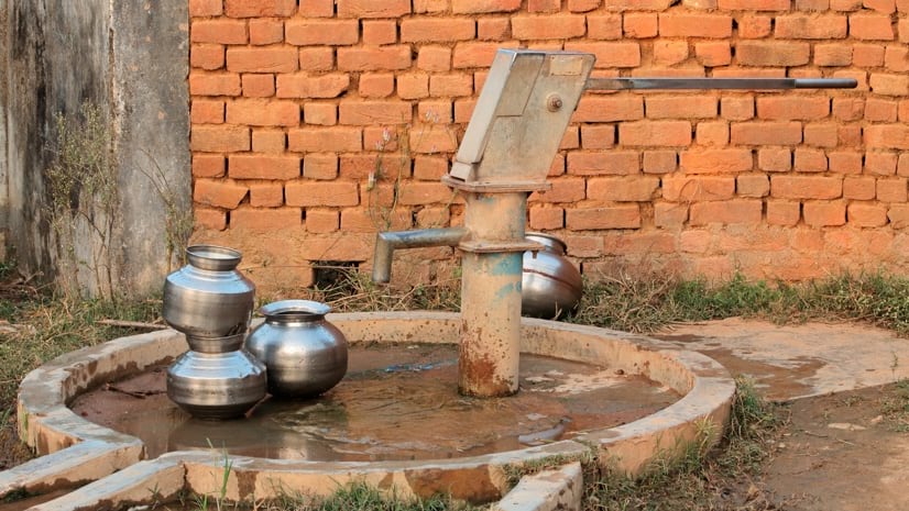
Christa Campbell |Infrastructure Students in India Map Ingenious Route to Save People from Contaminated Water
-
February 3, 2022 |
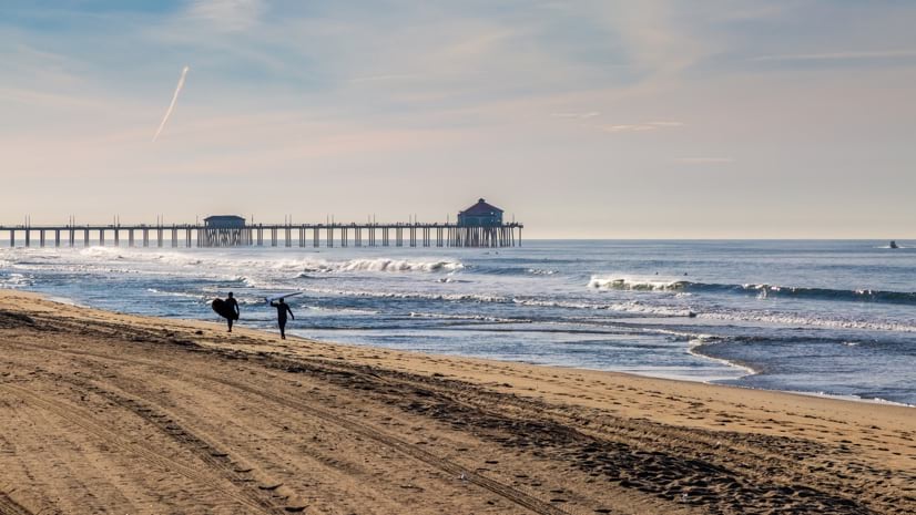
Dr. Dawn Wright |Conservation Surfers Helped Clean Up California Oil Spill with Mapping App
-
February 1, 2022 |
Carl Walter |Public Safety Cobb County Secures World Series with Real-time Location Technology
-
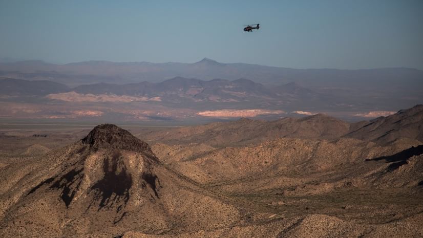
January 25, 2022 |
Mike Bialousz |Conservation Nevada Sees Mule Deer Decline from Above, Connects Dots with GIS
-
January 24, 2022 |
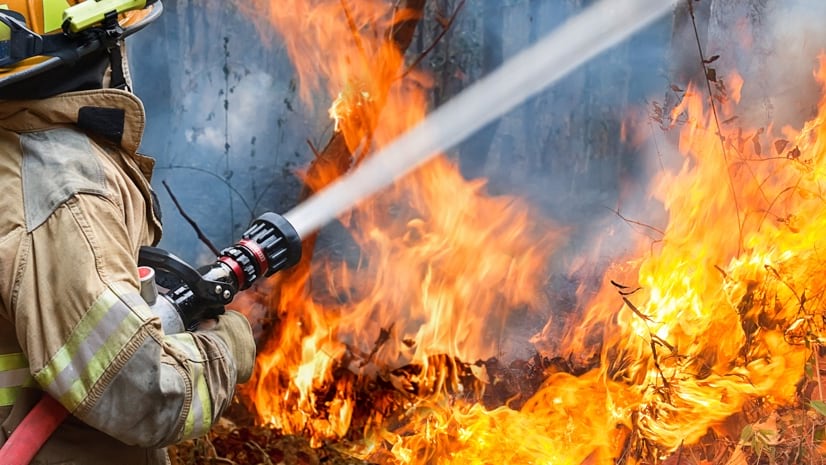
Ryan Lanclos |Resilience Maps Can Help Save Us from Climate-Fueled Wildfires
-
January 11, 2022 |
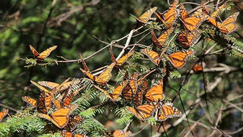
Dr. Dawn Wright |Conservation To Save the Monarch Butterfly: Taking Action with Maps
-
January 4, 2022 |
Sunny Fleming |Conservation Improving Safety for Wildlife and People on Roadways
-
December 21, 2021 | Multiple Authors |
GIS for Good Mapping Justice: Teens Apply Geospatial Tools to Equity Issues
-
December 14, 2021 |
Sydney Rich |Infrastructure 3D Model Shows the Impact of Construction Boom Surrounding Penn State
-
December 13, 2021 |
Kimberly Hartley |Public Safety The Ways We Fight Wildfires Are Changing, So Will the Forests Themselves