April 22, 2021 |
David Gadsden | Natural Resources
All Articles
-
-
April 22, 2021 |
David Gadsden |Conservation Born Free Uses Smart Maps to Save Lions, Solve Human-Wildlife Conflict
-
April 14, 2021 |
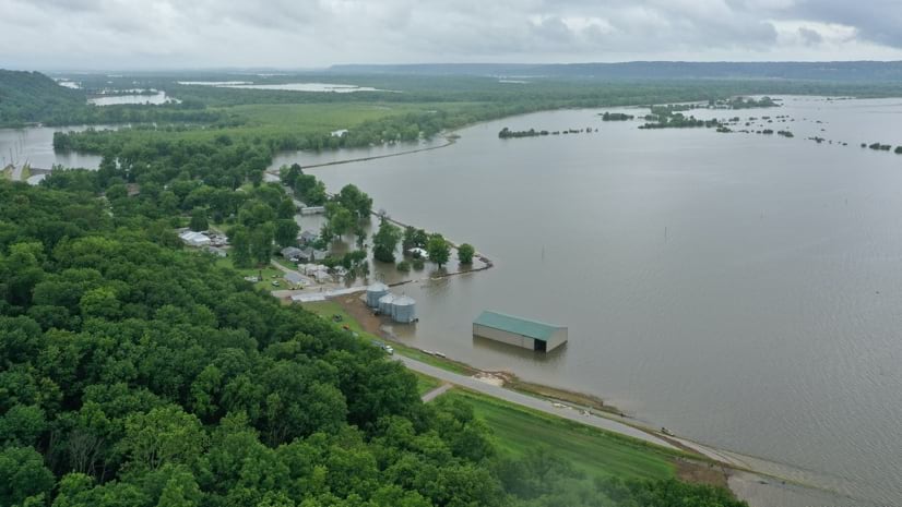
Ryan Lanclos |Public Safety How Technology and GIS Students Aided Response to the Great Flood of 2019
-
April 6, 2021 |
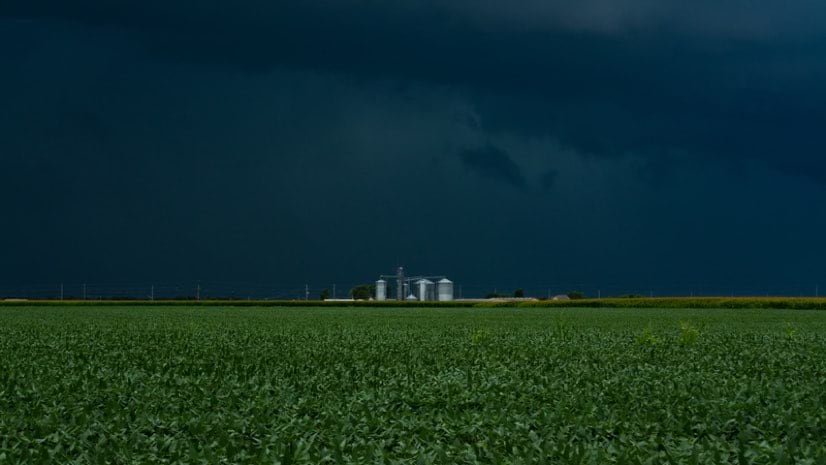
Greg Milner |Resilience Reveal: Tackling the Troubling Increase in Methane Emissions with Maps
-
March 23, 2021 |
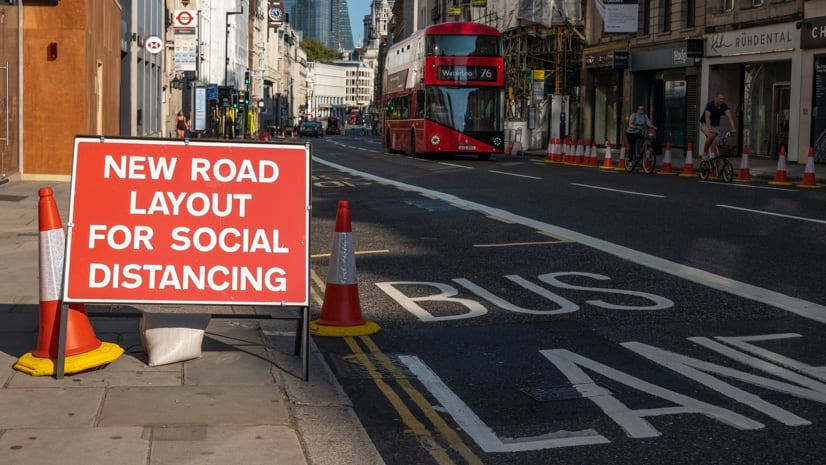
Ian Koeppel |Infrastructure London: Maps, Location Technology Promote Mobility, Health
-
March 16, 2021 | Multiple Authors |
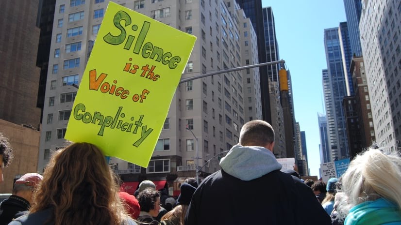
GIS for Good Territorial Empathy Maps Racial Inequality to Take Action
-
March 11, 2021 |
Christopher Thomas Local Agencies Apply Location Intelligence to COVID-19 Vaccine Distribution
-
March 4, 2021 |
Charlie Fitzpatrick |GIS for Good As a Teenager, GIS Technology Helped Her See and Understand Social Inequity
-
March 2, 2021 |
Ryan Lanclos |Public Safety Needs Map in Turkey Connects Earthquake Victims with Critical Aid, Care
-
February 25, 2021 |
Jen Van Deusen |GIS for Good Urban Parks Play a Key Role in Curbing Inequity and Climate Impacts
-
February 23, 2021 |
Ryan Lanclos |Public Safety Location Intelligence Empowers Aid Organizations to Act as One
-
February 16, 2021 |
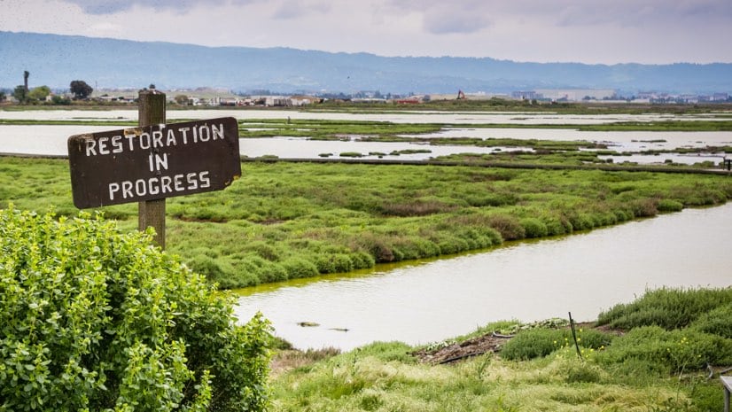
Dr. Dawn Wright |Resilience How an Atlas of San Francisco Bay is Helping Deal with Sea Level Rise
-
February 11, 2021 |
Karisa Schroeder |Mapping Census Bureau Taps Location Intelligence to Boost Response Rates
-
February 9, 2021 |
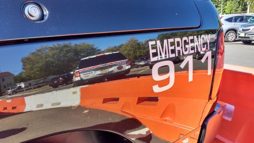
Brooks Shannon |Public Safety To Find People in Crisis, Illinois Rolls Out Next Generation 911
-
February 3, 2021 |
Christa Campbell |Infrastructure Water Outage Map Gives Seattle Residents and Staff Crucial Information
-
January 28, 2021 |
Este Geraghty, MD, MS, MPH, GISP COVID-19: An Iowa Epidemiologist, Maps, and a True Passion for Public Health
-
January 26, 2021 | Multiple Authors
South Carolina National Guard Ramps Up Vaccine Support after a Year of COVID-19
-
January 21, 2021 |
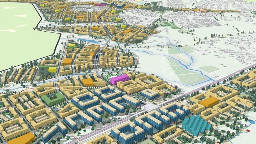
Brooks Patrick |Infrastructure Uppsala Creates a Detailed Digital Twin to Enhance Sustainability
-
January 19, 2021 |
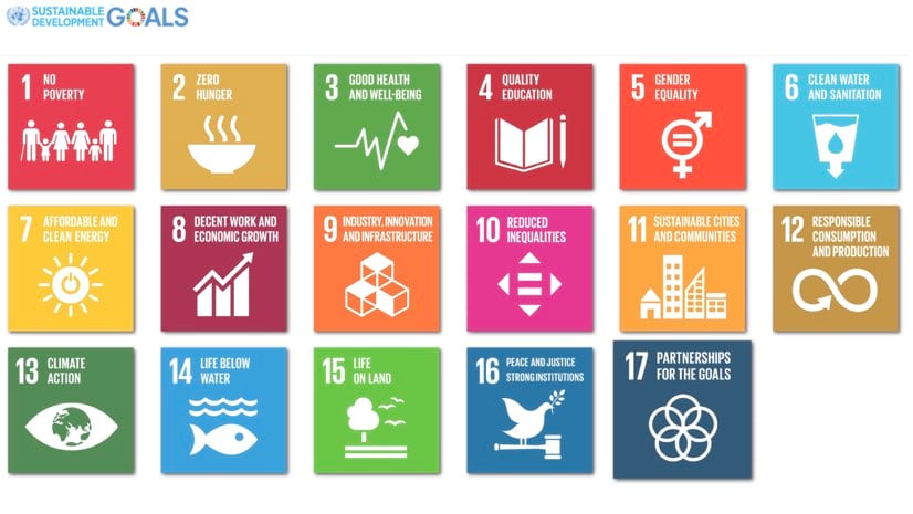
Charles Brigham |Natural Resources UN Sustainable Development Goals Put a Global Spotlight on Local Action
-
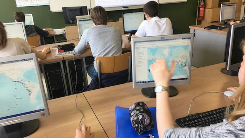
January 14, 2021 |
Michael Gould |Mapping EU Educators Prioritize Spatial Analytics Skills Needed for Lucrative Jobs
-
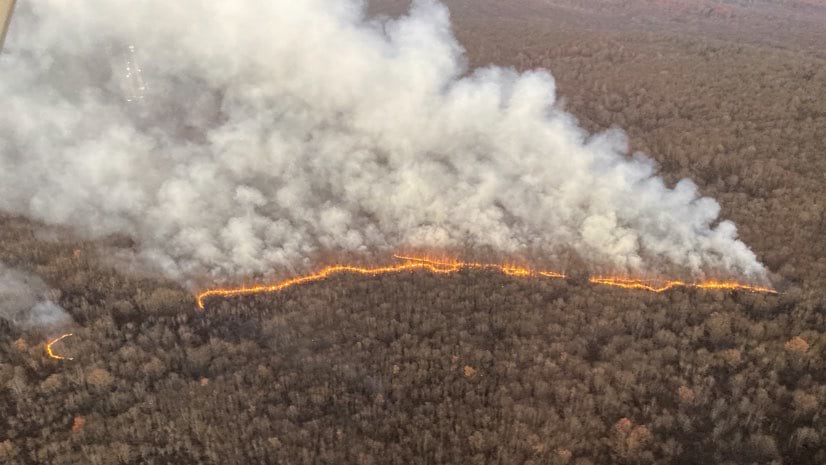
January 12, 2021 |
Mike Bialousz |Public Safety Real-Time Tool Transforms Wildfire Field Operations in Pennsylvania
-
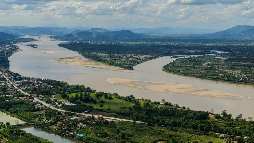
January 5, 2021 |
Jen Van Deusen |Infrastructure Along the Mekong River, Development Creates Sustainability Concerns
-
December 17, 2020 | Multiple Authors |
GIS for Good Geography Brings Equity and Social Justice into Focus in King County
-
December 14, 2020 |
Christopher Thomas |Mapping York Region Pioneers Next-Level Local Government Collaboration