August 19, 2021 |
Este Geraghty, MD, MS, MPH, GISP
All Articles
-
-
August 17, 2021 |
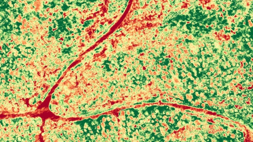
Steve Snow |Mapping 'Counting Birds in the Falkland Islands', and other Remote Sensing Fundamentals
-
August 12, 2021 |
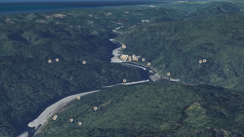
Anne Taylor |Mapping Yurok Tribe Taps Location Intelligence for Critical Census Count
-
August 10, 2021 |
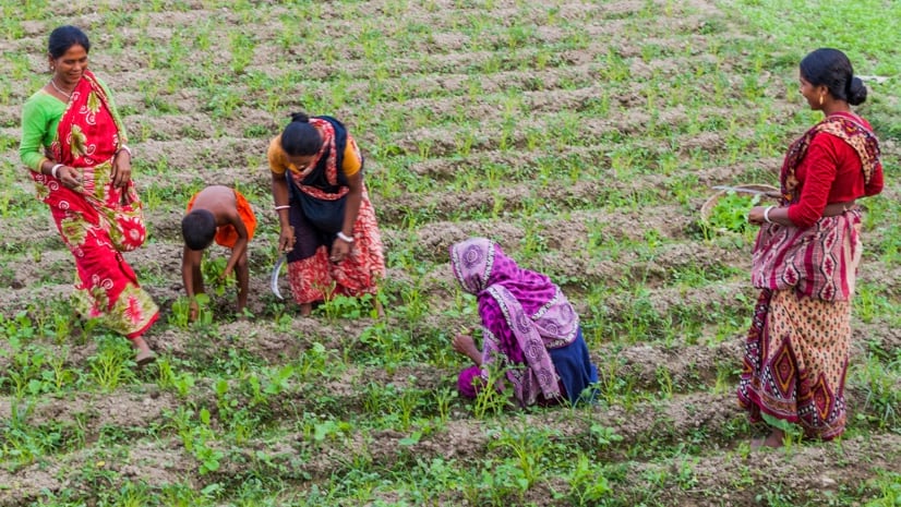
Jen Van Deusen |GIS for Good If More Women Owned Land, More People Might Be Fed
-
August 4, 2021 |
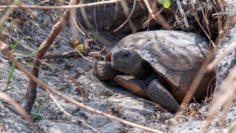
Mike Bialousz |Conservation Mapping to Protect Natural Heritage and Biodiversity in South Carolina
-
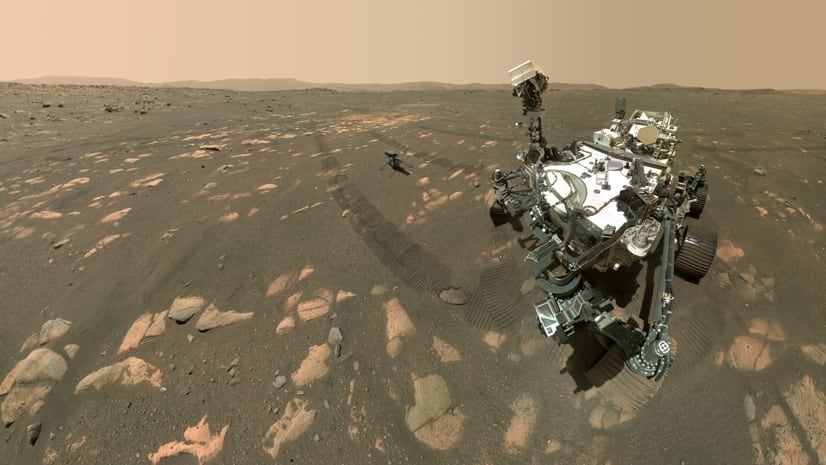
August 2, 2021 |
Dr. Dawn Wright |Mapping NASA JPL Sends the First GIS Map to Mars to Navigate Treacherous Terrain
-
July 28, 2021 |
Ryan Lanclos |Public Safety Casey Teske Tackles Wildfire in the Field and the Office
-
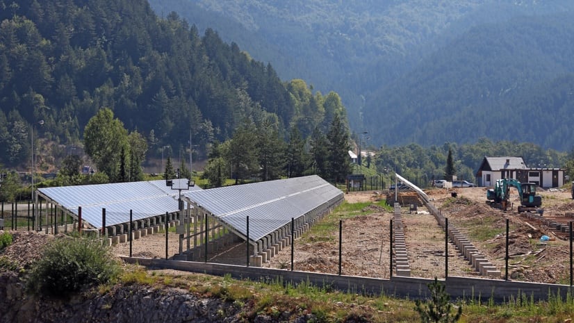
July 22, 2021 |
Mike Bialousz |Infrastructure Finding a Home for Solar: Kentucky Maps Prime Renewable Energy Sites
-
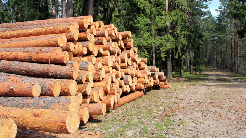
July 13, 2021 |
Audrey Lamb |Natural Resources North Carolina Lumber Mill Takes Guesswork Out of Operations with GIS
-
July 6, 2021 |
Jen Van Deusen |Natural Resources Mapping Shows Africa Has Plenty of Groundwater, Challenging Past Perceptions
-
June 30, 2021 | Multiple Authors |
GIS for Good Charles Lee: Environmental Justice Leader Uses Maps to Reveal Injustices
-
June 21, 2021 |
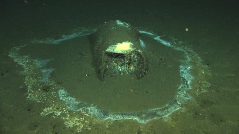
Dr. Dawn Wright |Conservation Drones Key to Mapping Massive Barrel Dump Site Off Southern California Coast
-
June 15, 2021 |
David LaShell |Public Safety Parades and Special Events: Operational Intelligence and Data Fusion
-
June 4, 2021 |
Kimberly Hartley |Resilience Q&A: Scientists Urge Call for Code Developers to be Open, Inclusive
-
June 2, 2021 |
Christine Ma |Infrastructure 3D Gives Planners in Des Moines Clarity to Manage Economic Development, Growth
-
May 27, 2021 | Multiple Authors |
Infrastructure HRSD Gains a New Operational Awareness to Improve Wastewater Operations
-
May 25, 2021 |
Christopher Thomas |GIS for Good How Austin’s Map of Trees Helped City Leaders See and Tackle Social Inequities
-
May 18, 2021 |
David Gadsden |Conservation Maps Cut through the Fog in Peru to Help Preserve Unique Ecosystems
-
May 13, 2021 |
Este Geraghty, MD, MS, MPH, GISP COVID-19: Chile Achieves Rapid Vaccinations with Dashboards Marking Progress
-
May 10, 2021 |
Dr. Dawn Wright |Conservation Mapping America’s Land and Sea: A Time for ‘Precision Conservation’
-
May 6, 2021 |
Mariah Petrovic |Mapping Reveal: Cold War Spy Imagery Now Helping Fight Climate Change
-
May 4, 2021 |
Corey Nelson |Natural Resources Canadian Seafood Company Achieves Sustainable Prosperity with Seafloor Maps
-
April 27, 2021 |
Richard Budden |Resilience Prague: Extreme-Heat Events Spur Climate Action, Using Geospatial Tech
-
April 23, 2021 |
Jack Dangermond |Resilience For Global Leaders Focused on Climate Action, GIS Technology Is Foundational