September 24, 2024 |
Kimberly Hartley
| Resilience
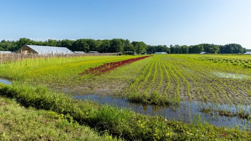
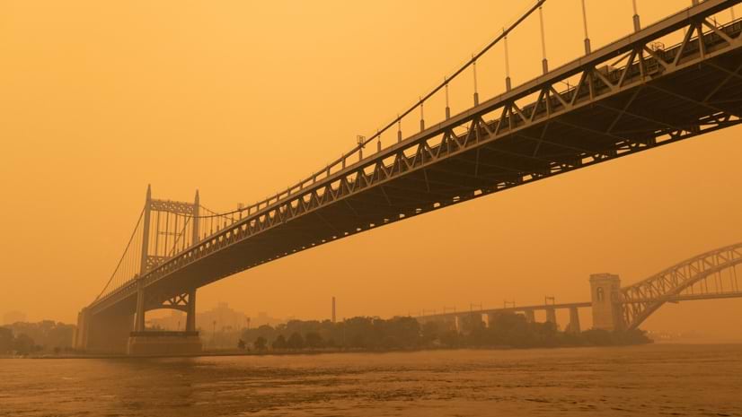
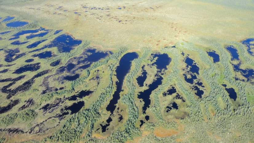
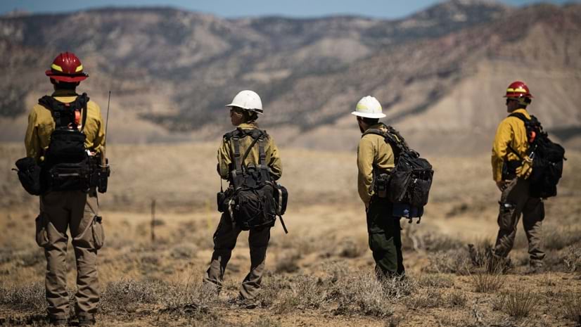
Organizations use GIS to reduce risk and adapt to environmental change. It helps communities map vulnerabilities, model future scenarios, and design more sustainable infrastructure systems.
October 13, 2026 |
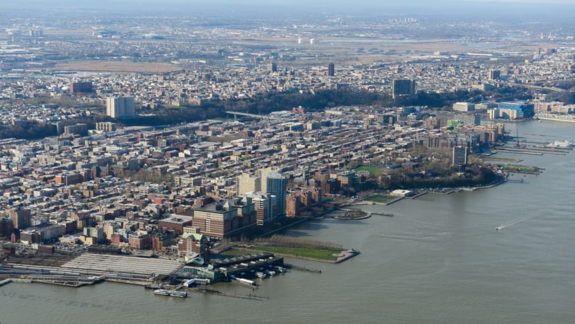
The City of Hoboken uses GIS to reduce traffic risks, manage flood resilience, and coordinate investments that improve safety and mobility.