displaying 873 results

Utility Network for ArcGIS is the next generation of network management for utility, pipeline, and telecommunications companies.

Using ArcGIS Utility Network and ArcGIS Collector, AltaGas Utilities reduced asset inspection times by 50 percent.

As consumers become power producers through solar and wind energy technology and storage, utilities must change their business model.
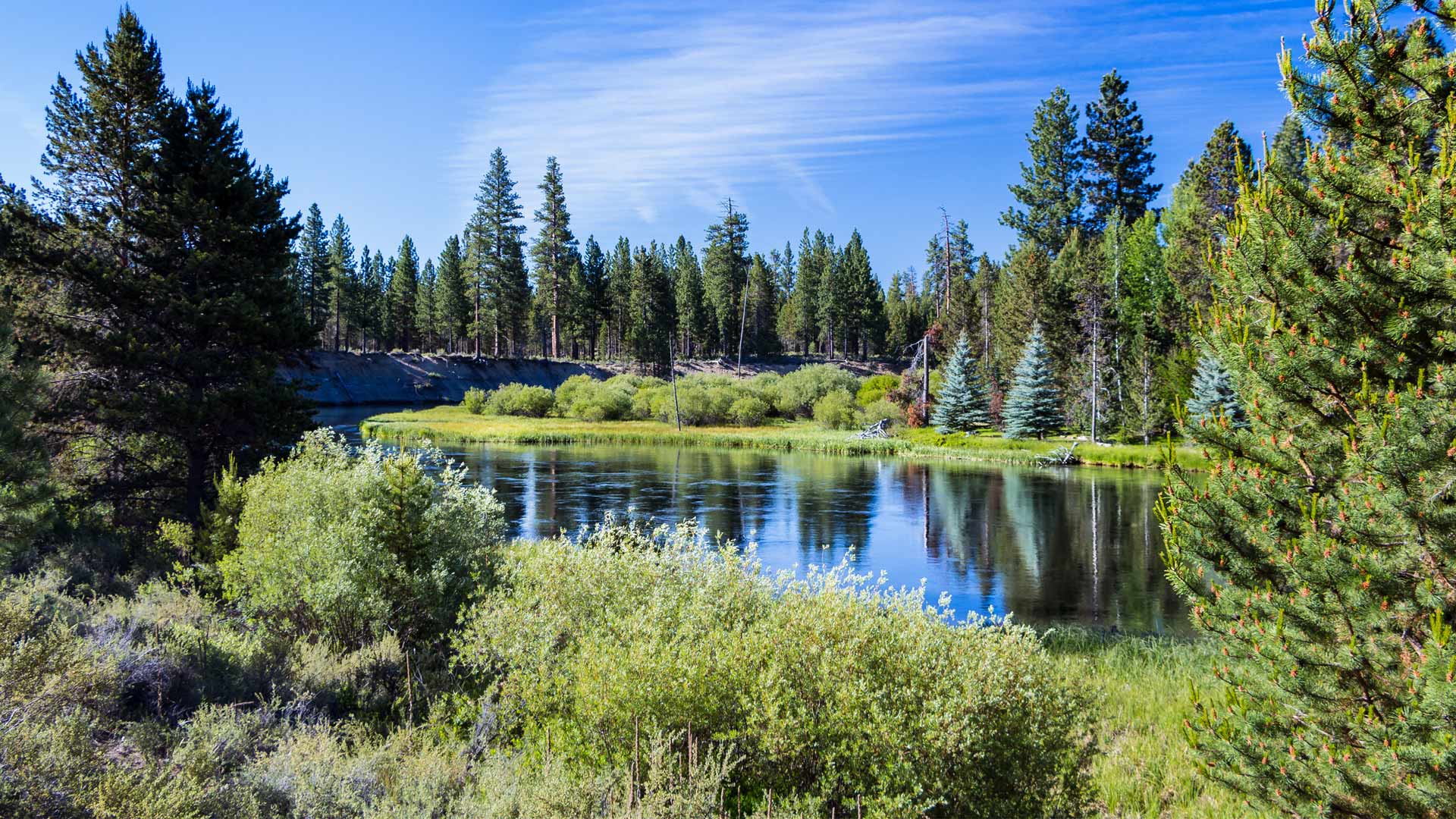
To track assets and workflows along with customer billing information, Sunriver Utilities turned to Elements XS from Esri partner Novotx.
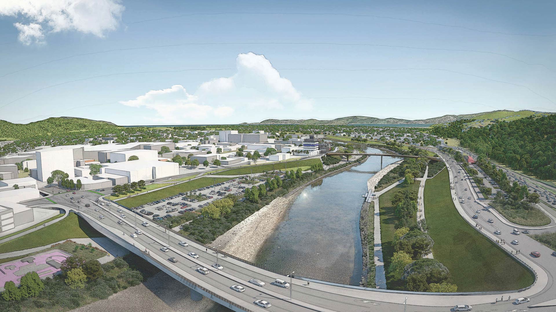
Esri startup partner Reveal helped a New Zealand community with flood protection, transportation upgrades, and urban revitalization.
To meet the demands of a rapidly expanding customer base, a Florida utility realized it needed a variety of solutions that would empower its...
Opelika Utilities in Opelika, Alabama, serves nearly 20,000 customers. Its mission is to determine the current and future water needs of Opelika…

For utilities committed to decarbonization, location-based demographic data helps identify and predict areas where clean energy is in demand.
Underground Visualization of Utilities at Green Square Complex in Raleigh, North Carolina
In March 2014, articles about virtual and augmented reality being the next big thing flooded the Internet.

Esri partners facilitate and streamline workflows and management of a variety of community management projects.
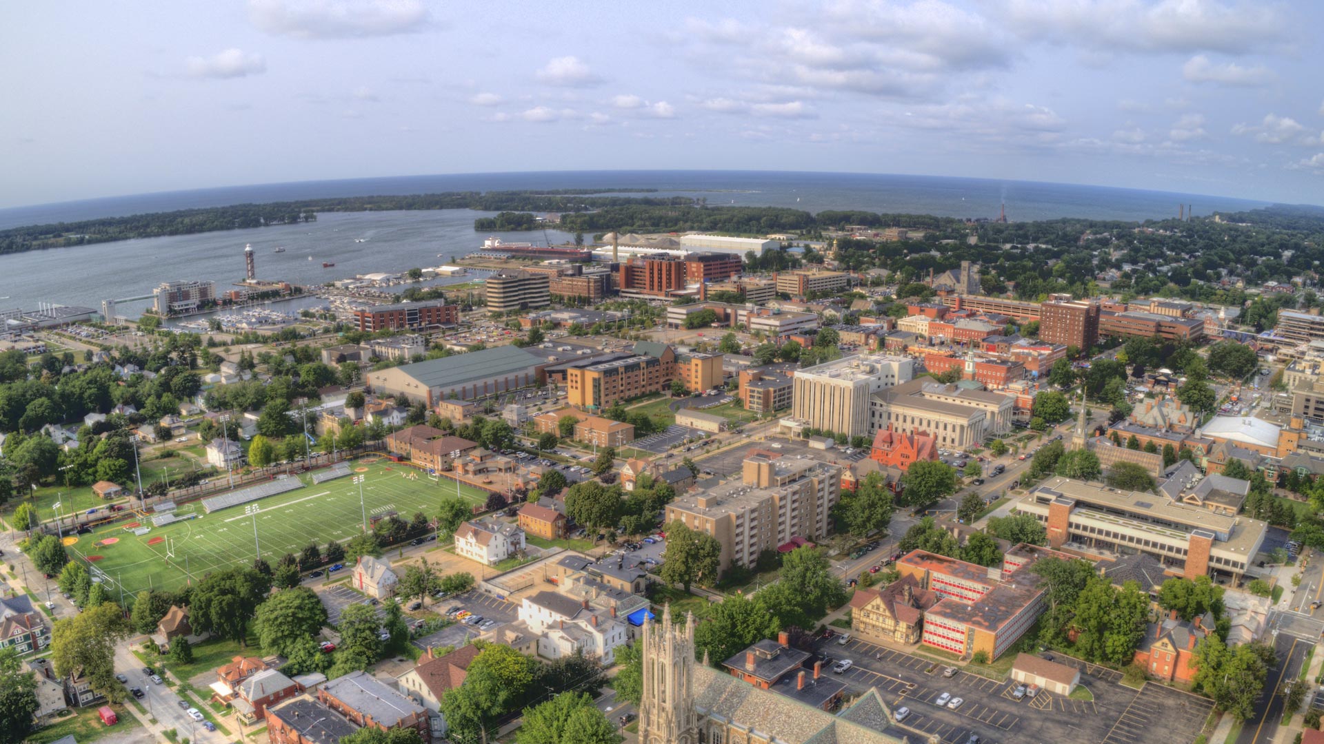
Erie Water Works saves hundreds of thousands of dollars with its GIS-based implementation.