displaying 1414 results

Esri technology evangelist Bern Szukalski shows you how to add audio files to Story Map Tour apps.

Want to hone your GIS skills and knowledge? Read these six books from Esri.
Esri offers Arxys servers preinstalled with ArcGIS Enterprise software. You can use a package solution like this to complement or upgrade your...
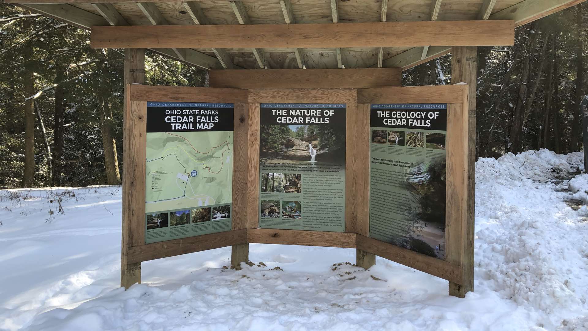
The Ohio Department of Natural Resources has centralized its mapping efforts, improving field workflows and the quality of its maps.

Experts deployed to extract the Thailand soccer club from deep within the Tham Lang cave used maps to communicate, strategize, and act.

Archaeology has undergone a digital transformation where sensors and mapping tools uncover past human settlement without digging.

San Antonio deployed real-time location intelligence to combat fears and enhance public safety during the NCAA Final Four events.

Mapping apps deliver targeted information to police officers in the field that improve their community connections.
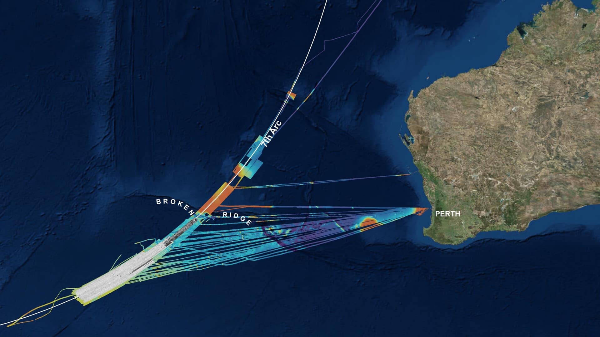
Geoscience Australia deployed location technology to search methodically for the missing Malaysia Airlines flight MH370 aircraft.

Data collection on a map allowed Key West to quickly, efficiently, and flexibly capture damage details even when communications were lost.

Innovative shared ocean data and mapping efforts are resulting in better economic and environmental decisions for sustaining the blue economy.

Journalists sponsored the ‘Catch the King’ crowdsourcing event that rallied citizens to capture sea level rise data using an app on their phones.