September 21, 2017 |
Caitlyn Raines | Natural Resources
December 13, 2017
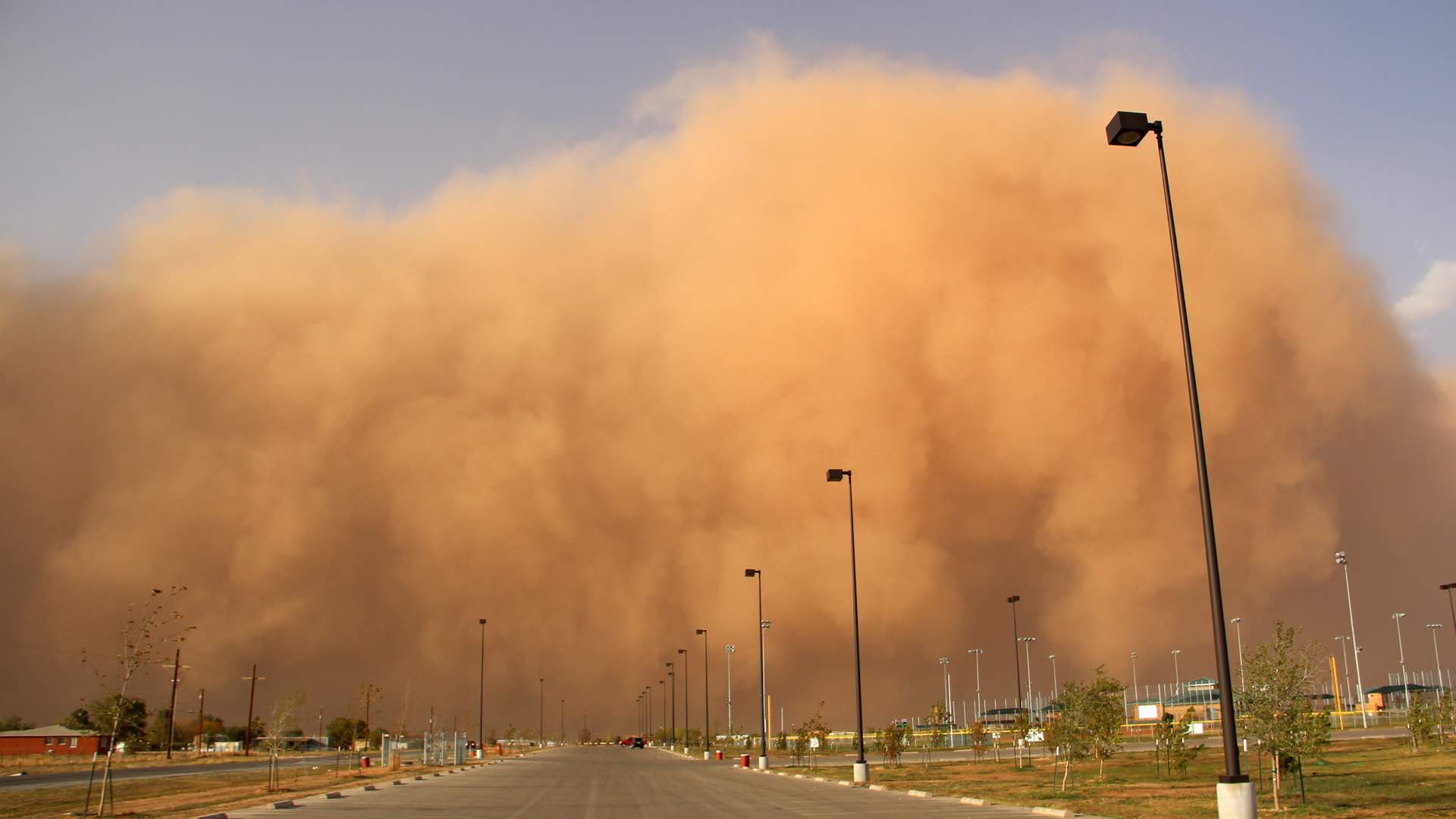
Early on the morning of Sunday, November 5, visitors to the Hampton Roads region of Virginia would have encountered more than 500 citizens out in the streets, many wearing tall rubber boots, and all with their eyes locked on their phones. This large group of volunteers rallied behind the Catch the King Tide event, a project organized by a collaborative group of media organizations. On each phone, a Sea Level Rise app was used to record the location and extent of this year’s highest tide.
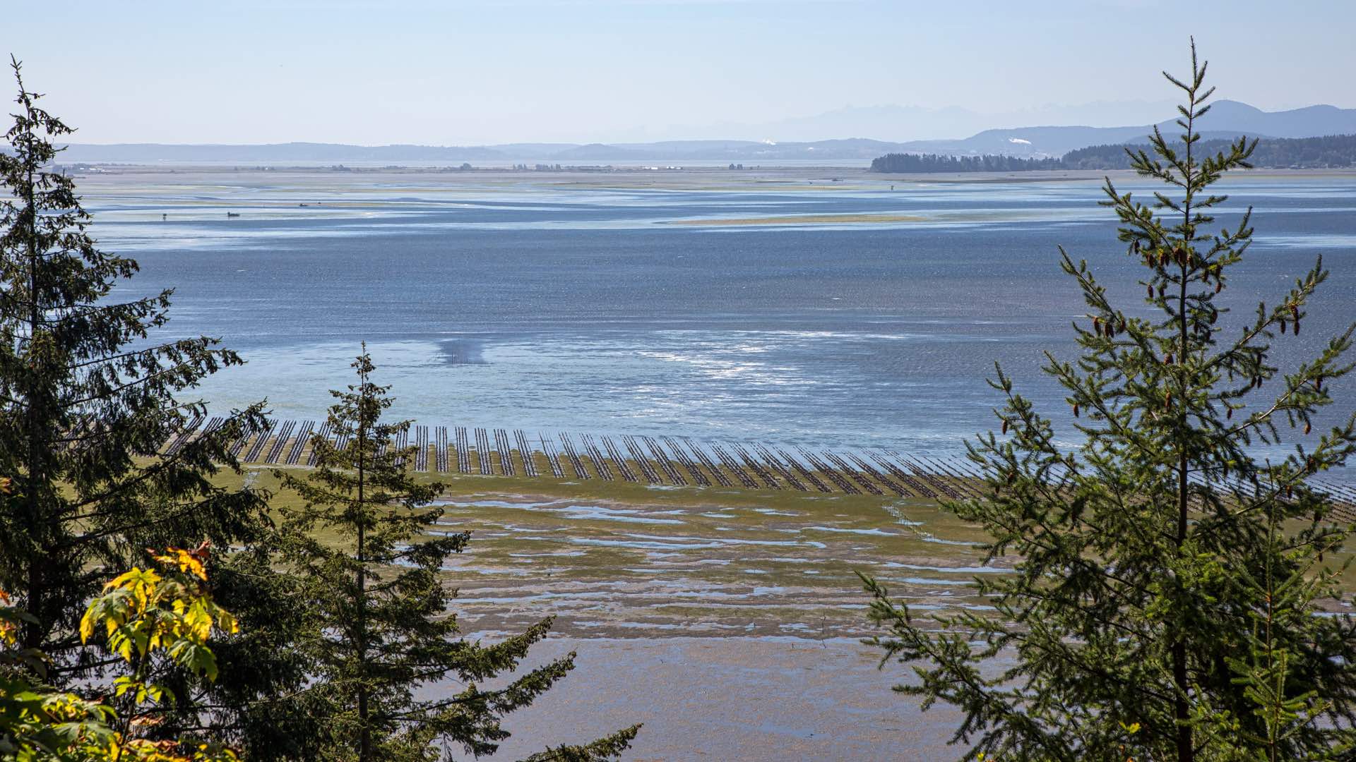
King tides provide a window into future sea-level rise, an issue that concerns coastal communities around the world. Occurring in the fall, when a celestial alignment brings the moon closest to the Earth, this king tide was projected to rise as high as three feet above normal in some areas. The media organizations—The Virginian-Pilot, the Daily Press, WHRO Public Media, and WVEC-TV (the local ABC affiliate)—seized the opportunity to make the science more real for citizens.
Reporter Dave Mayfield of The Virginian-Pilot hatched the idea to enlist volunteers to measure flood inundation and helped organize the effort. He has been working with Wetlands Watch, a non-profit advocacy group, to report on sea-level rise and other environmental issues.
Catch the King became the world’s largest crowdsourcing event focused on measuring the tides. By the end of the second day, 722 people had signed-in to the project. From Pungo in Virginia Beach to the Chickahominy River near Williamsburg, volunteers captured 59,718 GPS points across 12 communities and submitted 1,582 tide photos.

A Growing Concern
The Commonwealth Center for Recurrent Flooding Resiliency (CCRFR) is the source for authoritative data about sea-level rise in Virginia. CCRFR serves prediction models on their website, conducts studies, and provides training and technical services to help communities mitigate the impacts of rising tides.
Because king tides occur annually, researchers can measure and compare levels to chart hightide points over time, see trends, and predict future sea rise levels by year and area.
“The tide extent on November 5th, is where you can expect the water to be just about every day at mid-century,” Jon Derek Loftis, a research scientist at William & Mary’s Virginia Institute of Marine Science, said.
Loftis builds the StormSense sea level models and maps of tidal flooding that CCRFR serves on its website. His forecasts show, with street-level accuracy, areas where rising seas will flood communities years from now.
In the long-term, this foreknowledge will help communities intelligently invest in more resilient infrastructure and real-estate development. In the short-term, forecasters can notify residents when to sandbag their homes.
Science and Citizen Sensors
Taking the role of science adviser for the project, Loftis created and published the Catch the King story map that presents an animated flood inundation map. Available online well before the event date, the story map explains king tides, the data needed, and how to participate in the event.
Loftis also developed the Sea Level Rise mobile application that participants used to capture tide level data. While the app has been available for some years, it hadn’t been used broadly for recording flood events.
This event presented an opportunity to ‘ground truth’ the StormSense forecast model, and served the dual purposes of raising awareness of sea level rise and calibrating the model to improve its accuracy for future events.
“This information will be useful for everyone from emergency responders to potential home buyers as they assess the risk of rising seas,” Loftis said.
Event organizers chose 55 low lying places to send the volunteers. Site selection criteria focused on where flooding had occurred in the past and access, safety, and plenty of parking. Next, the team assigned tide captains to guide participants on proper data collection procedures.
Early Sunday morning, November 5th, local citizens and busloads of students showed up at their assigned locations to capture data about the hightide at its peak. While walking along the landward reach of the hightide, they used the data collection tool on their phones to drop virtual GPS pins every five-feet to outline hightide levels. The app then streamed these data points to an online map that anyone could see either on the app or the associated website.

Collection Accomplished
The Catch the King project met its objectives to create a volunteer tidal data collection network and raise public awareness in the process. The data and real-time maps provided an accurate baseline for analyzing future sea level rise trends, and captured the interest of a wide audience.
Mayfield provided four lessons learned in an article in The Virginian-Pilot, briefly summarized below.
Loftis weighed in on the areas that weren’t captured in the model.
“Flood models and others rely on LIDAR data collected by laser-wielding planes and helicopters,” said Loftis. “The event showed that some waterways weren’t accurately accounted for by LIDAR – including ditches and narrow creeks that were canopied by trees or shrubs during flyovers.”
Loftis has updated his model with Catch the King’s ground-based observations and is excited to try it out in tougher conditions. Scientists will use this data for near-term events like storm surge, and long-term events related to climate change.
Most importantly, the Catch the King event offered citizens a tool and an activity that helped them better understand how rising sea levels will impact their area. The community has deemed this issue their greatest priority and the crowdsourcing application provides the means to help them proactively tackle the problem.
Learn more about how Esri supports smart communities with mobile applications like the Crowdsource Reporter. Learn how smart mapping makes mapping easier and more impactful.