displaying 998 results
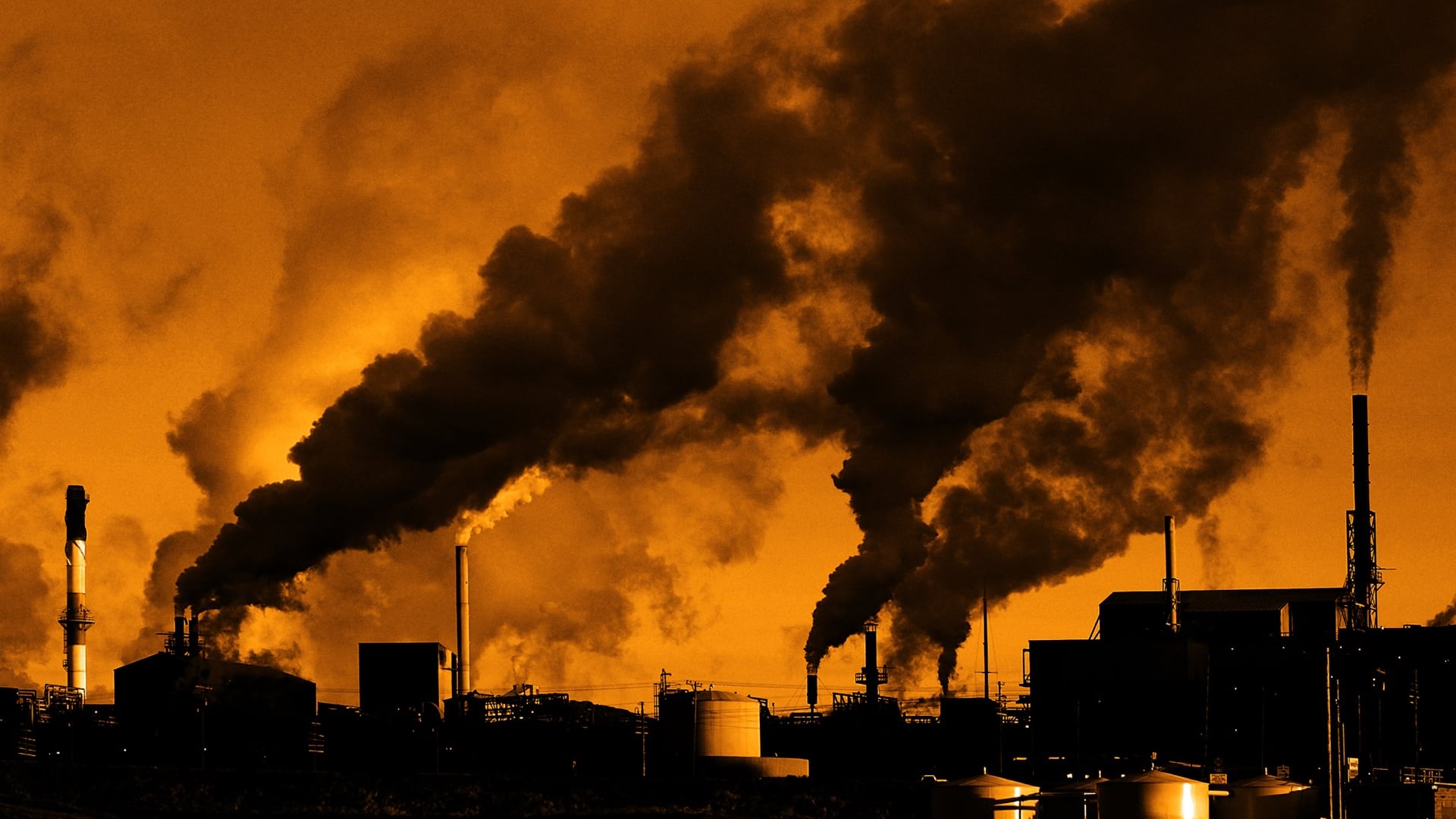
Wisconsin maps forever chemical contamination sites and water test results to alert the public and prioritize cleanup.
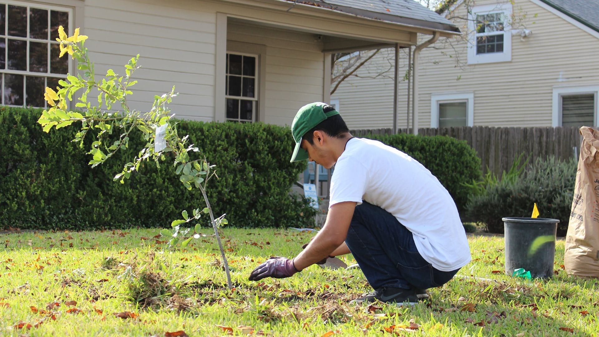
Foresters in Austin used GIS to create a community tree priority map, combining tree inventory and social vulnerability data to prioritize equity
The Trust for Public Land helps guide local park improvement by quantifying inequity and climate impact.
Activities to rebuild Afghanistan gained benefits from efforts to create a detailed and up-to-date map of the country.
Charles Lee was on the ground floor of the environmental justice movement, creating maps to show the insidious health impacts on people of color.

Ensheng Dong, the architect of the Johns Hopkins COVID-19 dashboard, applied his knowledge of GIS to map and track the spread of the disease.
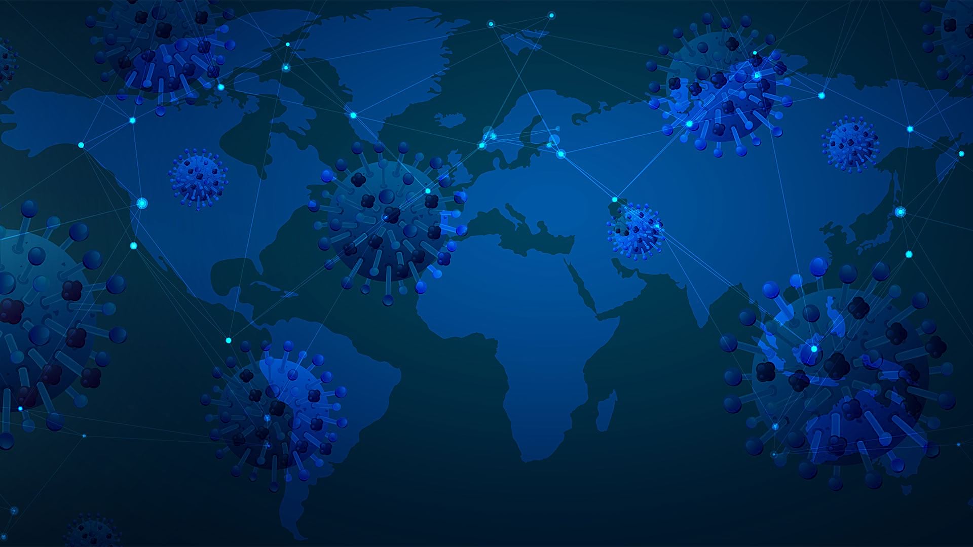
As the new coronavirus began to spread in early 2020, many Esri users built maps and dashboards to share critical data about the virus.
Attend the Esri Health and Human Services GIS Conference, to be held October 23–25, 2018, in Redlands, California, to find out how GIS is...

New books cover switching to ArcGIS Pro from ArcMap, how to employ GIS in education, how to use location analytics, and more.
On most Tuesday nights in downtown Chicago, a group of “hactivists” gathers to work on making their city a better place to live.
Esri is looking to address how location data can help address mental health and created a StoryMap highlighting areas suffering the greatest.