displaying 888 results
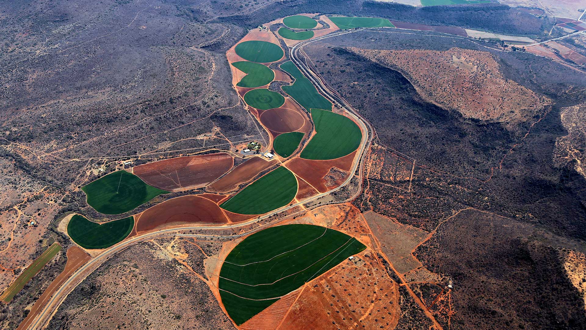
A well-funded innovator in agtech, Indigo Ag is using location intelligence to promote a more efficient, climate-friendly way to farm.

Natalie Stirrat, Technical Director at Arcadis, discusses the sweeping overhaul of infrastructure taking place in the US and around the world.

ArcGIS Platform, a platform as a service (PaaS) product, provides high-quality location-based services and capabilities to software developers.

At the 2020 Esri Partner Conference, Esri recognized 19 partners for their important and innovative contributions to GIS.
ArcGIS Enterprise was key to the four-day drill, which aimed to maximize the government’s emergency preparedness and response efforts.
The January 2018 ArcGIS release was substantial. Esri software came away with a great deal of fresh functionality, and several apps are now...

The November update to ArcGIS Online includes new features and apps, enhancements to visualization, and improvements to administering and...

The Esri Startup Program helped three startups—VisualSpection, Pufferfish, and InspecTools—build innovative hardware to help companies better...
When litter in downtown Raleigh became a problem, the city turned to AppStudio for ArcGIS to create a solution.
The Washington, DC, Department of Transportation uses ArcGIS and 360-degree imagery to manage curbside spaces throughout the capital.


Thrive Regional Partnership is using geodesign technology and methodology to plan smartly and sustainably.