displaying 295 results
Billions of dollars’ worth of goods disappears from the supply chain each year. New techniques aim to break the trend.
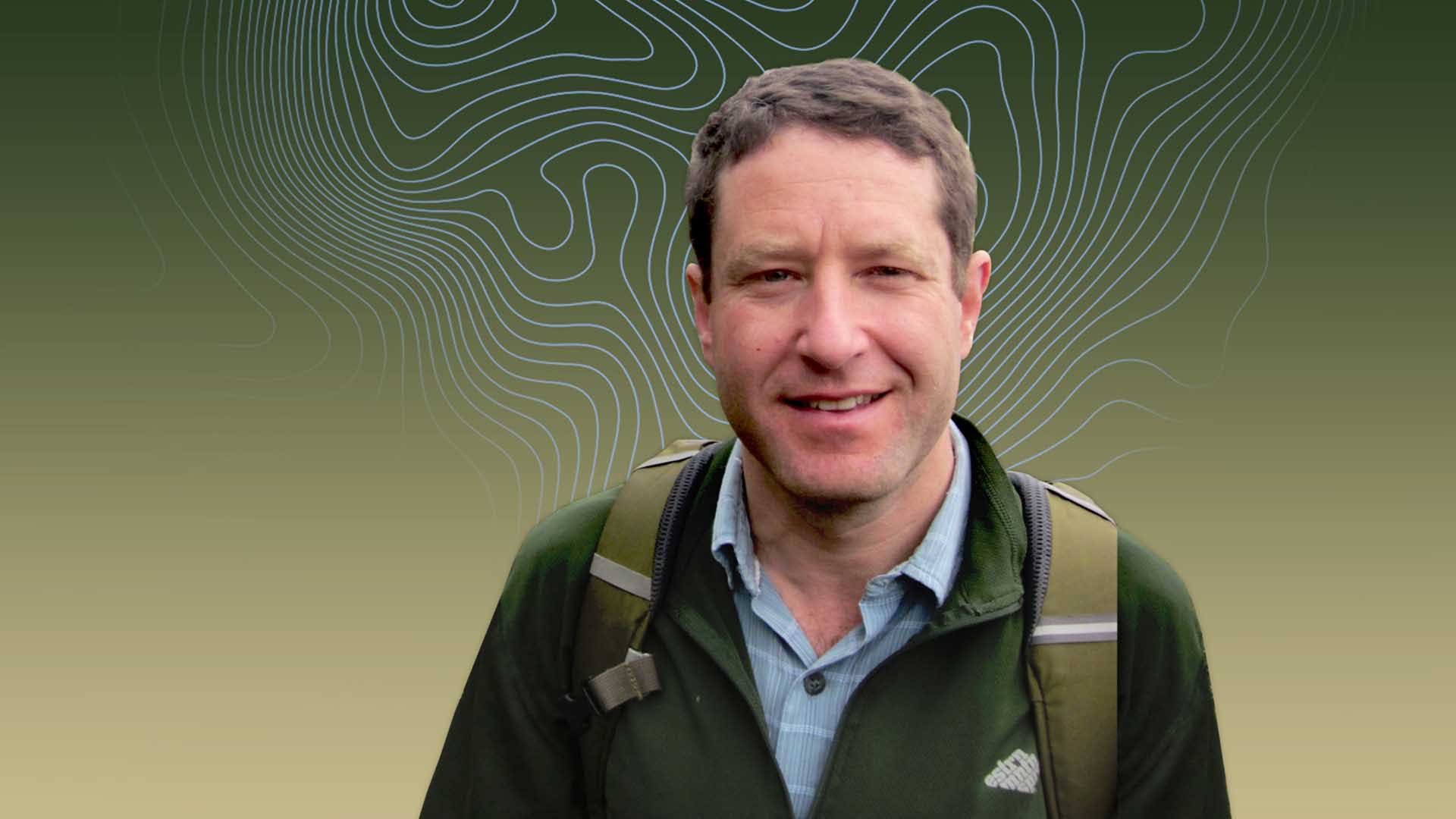
Matt Finer of Amazon Conservation is ever vigilant, empowered by technology, and dedicated to the planet's recovery.
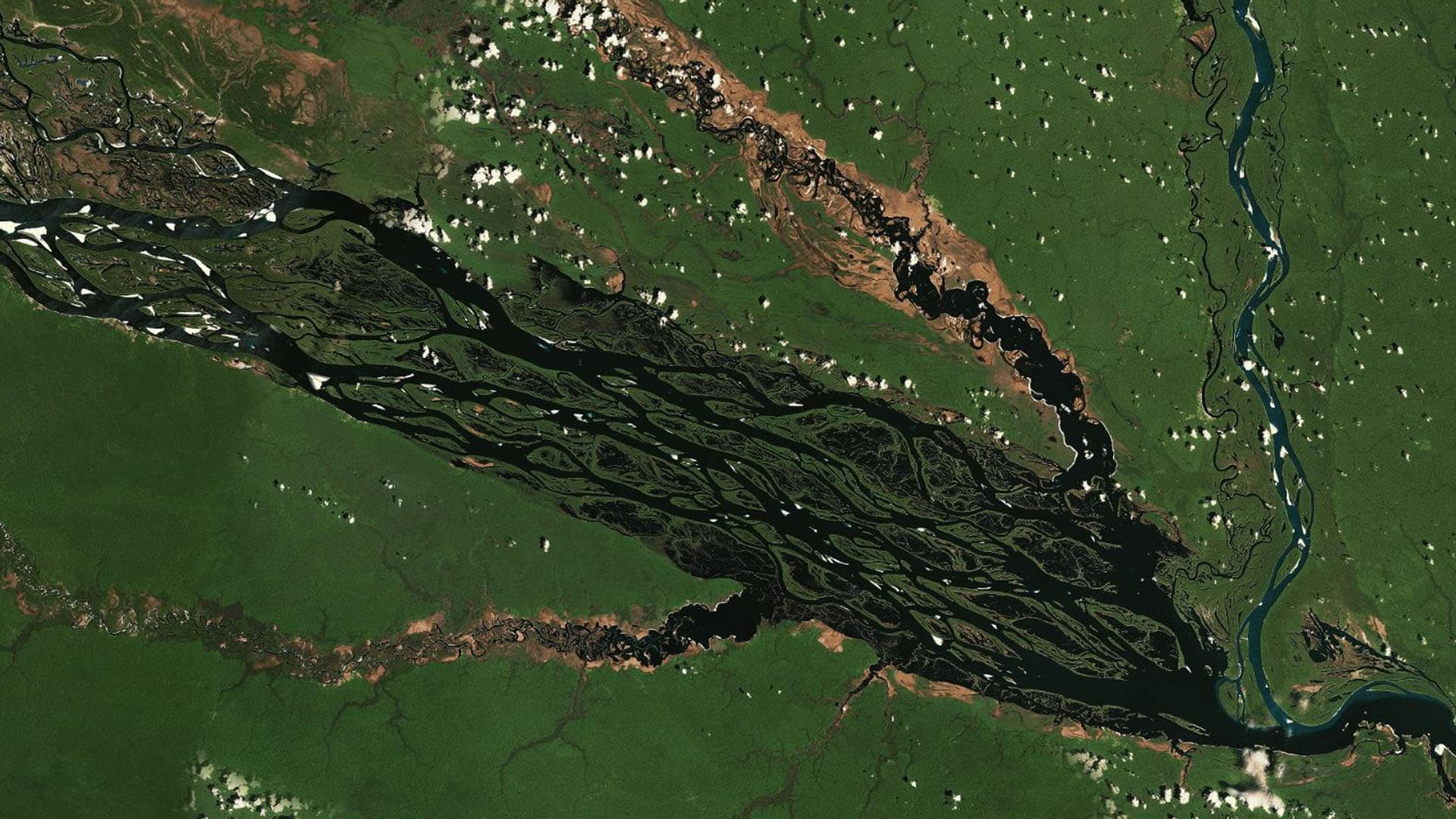
Satellite imagery analysis helped watchdogs see what happened to 5,000 acres of rain forest. The same tech could keep supply chains transparent.
As business leaders seek safer ways of working during the COVID-19 pandemic, they turn to an innovative trio of technologies.
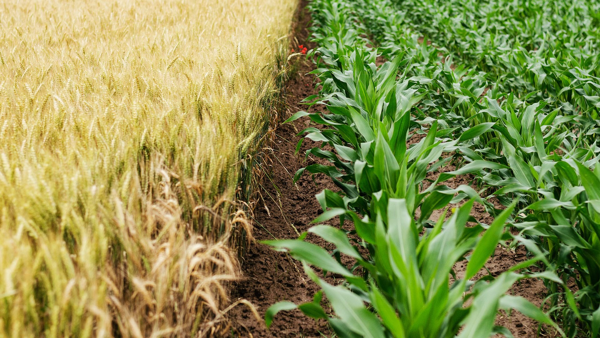
There's a new brand of tech savvy emerging, and it doesn't originate in Silicon Valley. It's down on the farm.

To ensure their risk assessment reflects risks on the ground, insurers and reinsurers are increasingly relying on location-based risk analysis.

As spatial computing hits consumer devices, some of its most useful applications are enabled by GIS.

The Food and Agriculture Organization of the United Nations uses GIS and remote sensing to monitor food crises.
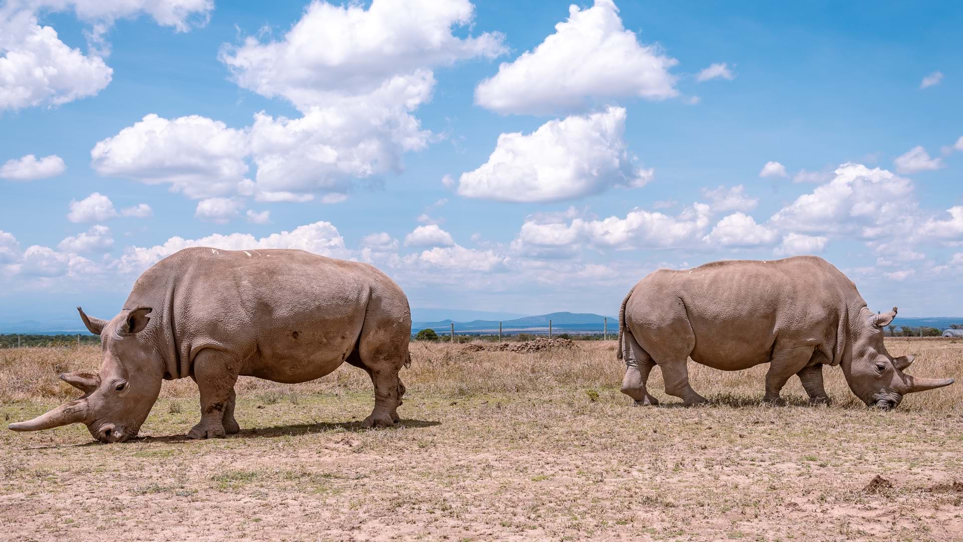
Ol Pejeta Conservancy maps and monitors critical wildlife, including the last two northern white rhino, to preserve biodiversity in Kenya.
The famously clear lake has been facing increased algae growth in the nearshore. Drones help monitor the cause and design mitigation measures.
At the Esri climate action event, leaders detail work already being done to counter climate change.