displaying 396 results
ArcGIS Living Atlas of the World is a collection of curated content you can use to populate a custom basemap gallery. Here's how.

The potential for mapping—and what a map can be—is enormous. This potential comes with great responsibility.
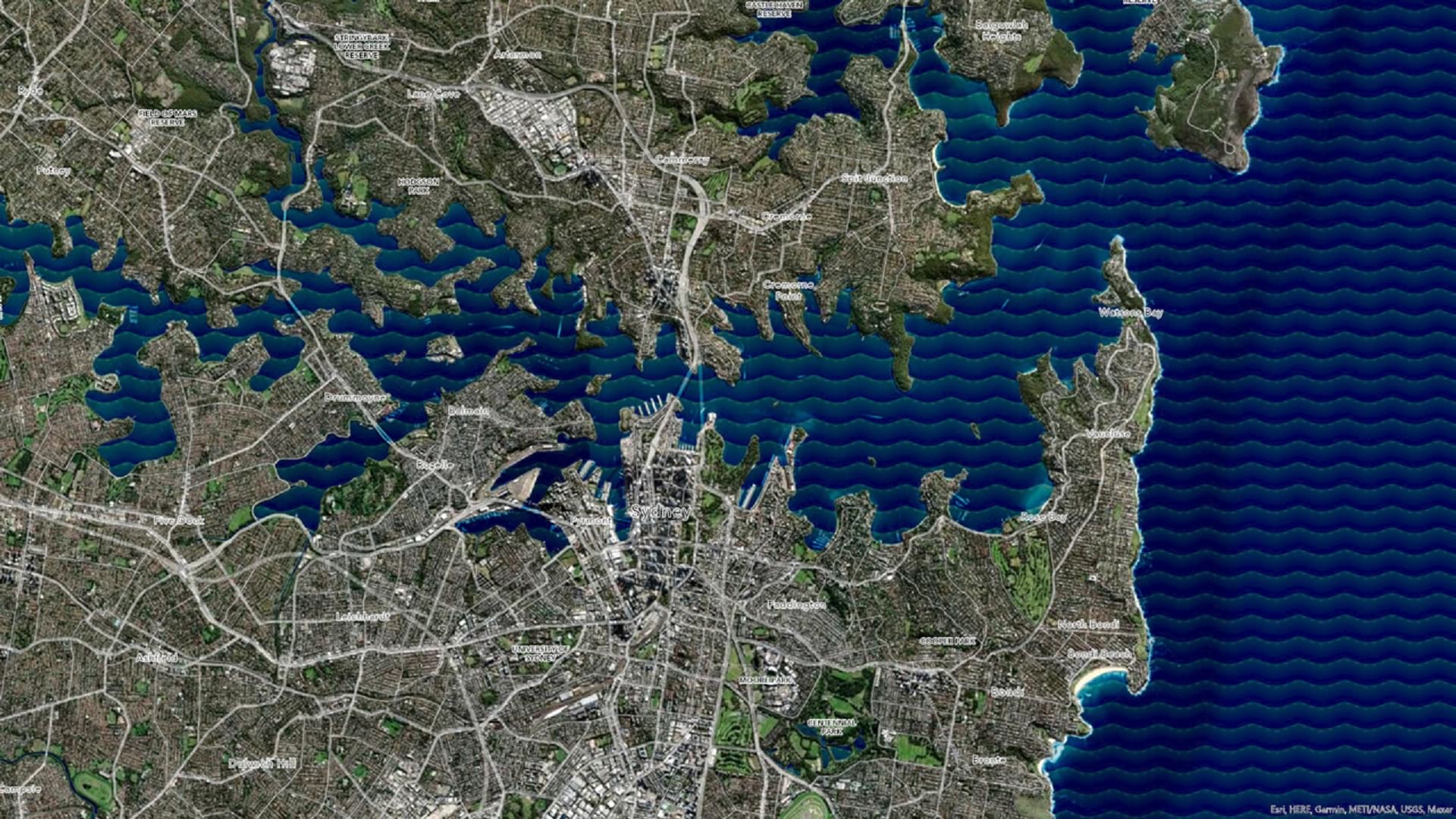
Learn how to make a wave effect in ArcGIS Pro that will set your map apart from the rest.

The Esri Science Symposium at the Esri User Conference is a unique event that showcases how science and geospatial technology intersect.
Sound data provided by recognized, local sources should be the same data that appears in statewide, national, and international datasets.

With its ability to nimbly transform data into impactful visualizations, the scripting language can be a key part of efficient workflows.

Key West, Florida, contributed its address point data to the ArcGIS World Geocoding Service, making the information more accurate for everyone.
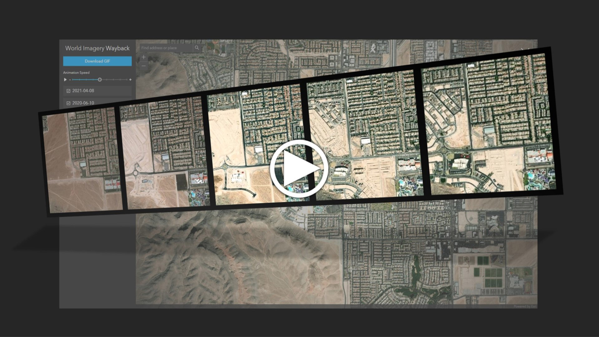
Learn to create and share animations of your images of interest using the World Imagery Wayback app.

The cloud-based platform helps organizations work together to respond to natural hazards and prepare for a more sustainable future.

Water 4Life works to conserve water; Esri cloud solution engineering supports public safety; and maps improve efficiency in California.

The government of Queensland, Australia, use ArcGIS AppStudio to help keep its residents and wildlife safe.

Learn to use ArcGIS Online and the feeds and content from ArcGIS Living Atlas of the World to make a weather map in a minute or less.