displaying 1714 results
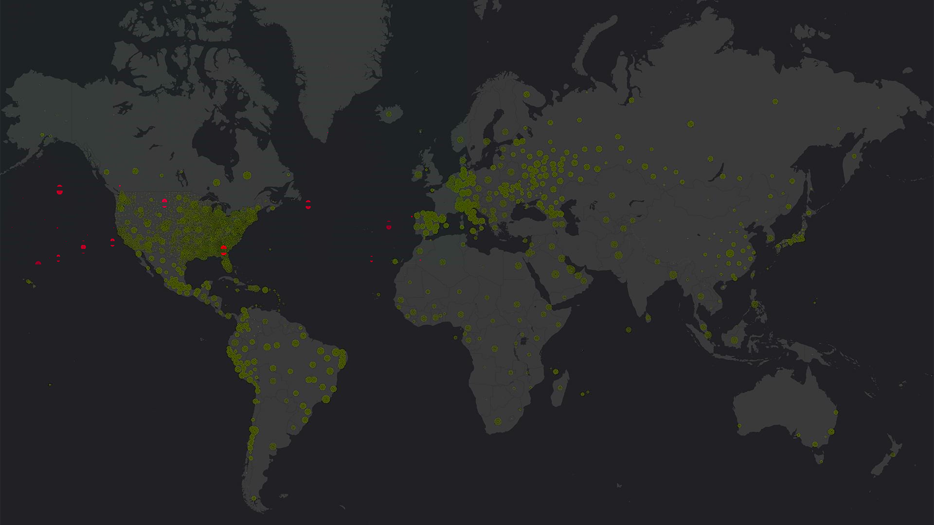
Health ministries, nonprofits, hospitals, and municipalities used GIS to locate cases of COVID-19, predict its spread, and start reopening.
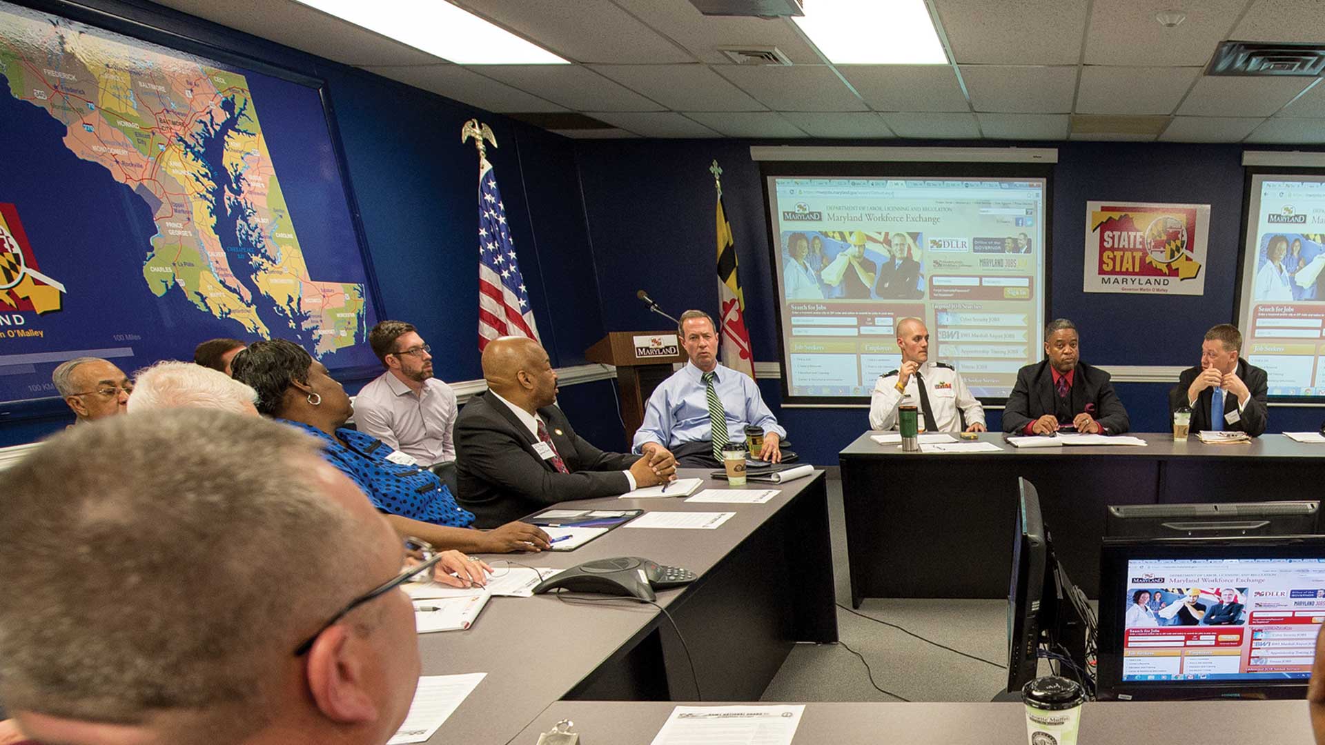
Former Maryland governor Martin O’Malley was an early adopter in using GIS for smarter governing.

The Southern California Association of Governments (SCAG) launched an ambitious cross-jurisdictional mapping initiative.

Many government agencies are turning to GIS to capture the knowledge that workers would otherwise take with them when they retire.
Technology Provides the Tools

Self-service government uses GIS to deliver services more efficiently.

Smarter Government and Connections and Content published by Esri Press

Esri is refocusing the conversation around smart from vague promises to a specific geospatial strategy that can deliver the results.

The Sultanate of Oman is developing a unified addressing system (UAS) that will help Oman achieve its long-term goals.
Agencies and organizations at all levels of government are increasingly conscious that being transparent and open will make them more effective…