displaying 254 results
ArcGIS Indoors can provide mapping for indoor locations, such as buildings and their contents. Learn how in this web course.
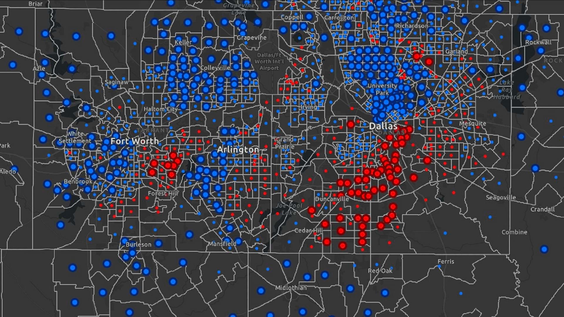
Learn how to create a web application tracking residential concentration in ArcGIS Experience Builder using the Business Analyst widget.
In this introductory guide, you'll learn the basics of creating and using network diagrams for ArcGIS Utility Network.
ArcGIS Field Maps combines map viewing, data collection and more into one app for efficient mobile work. Here are five tips to get started.
Explore the possibilities of mapping in ArcGIS Online. This video shows you how to get started with creating a map in Map Viewer.
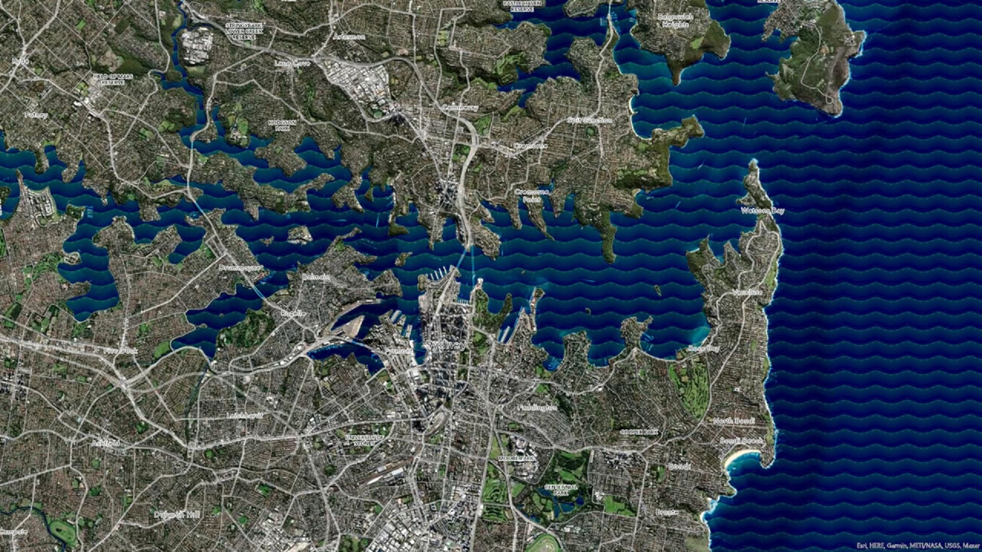
Learn how to make a wave effect in ArcGIS Pro that will set your map apart from the rest.

Want to use photos from a Flickr account in your Map Tour story maps? It’s easy to do, thanks to some recent updates to the Map Tour story map.
Feathering is a technique that makes the area you want to highlight on your map stand out and helps your audience focus on what’s important...
Want to learn a quick and easy way to compare two web maps side by side?
Learn to create a vector flow map to help your audience visualize geographic phenomena such as wind, water, or gravity.
PNGs in ArcGIS picture marker symbols offer fast drawing and a smooth appearance at any scale.

USDA Natural Resources Conservation Service (NRCS) produces and manages one of the world’s largest collections of natural resource information.