displaying 280 results
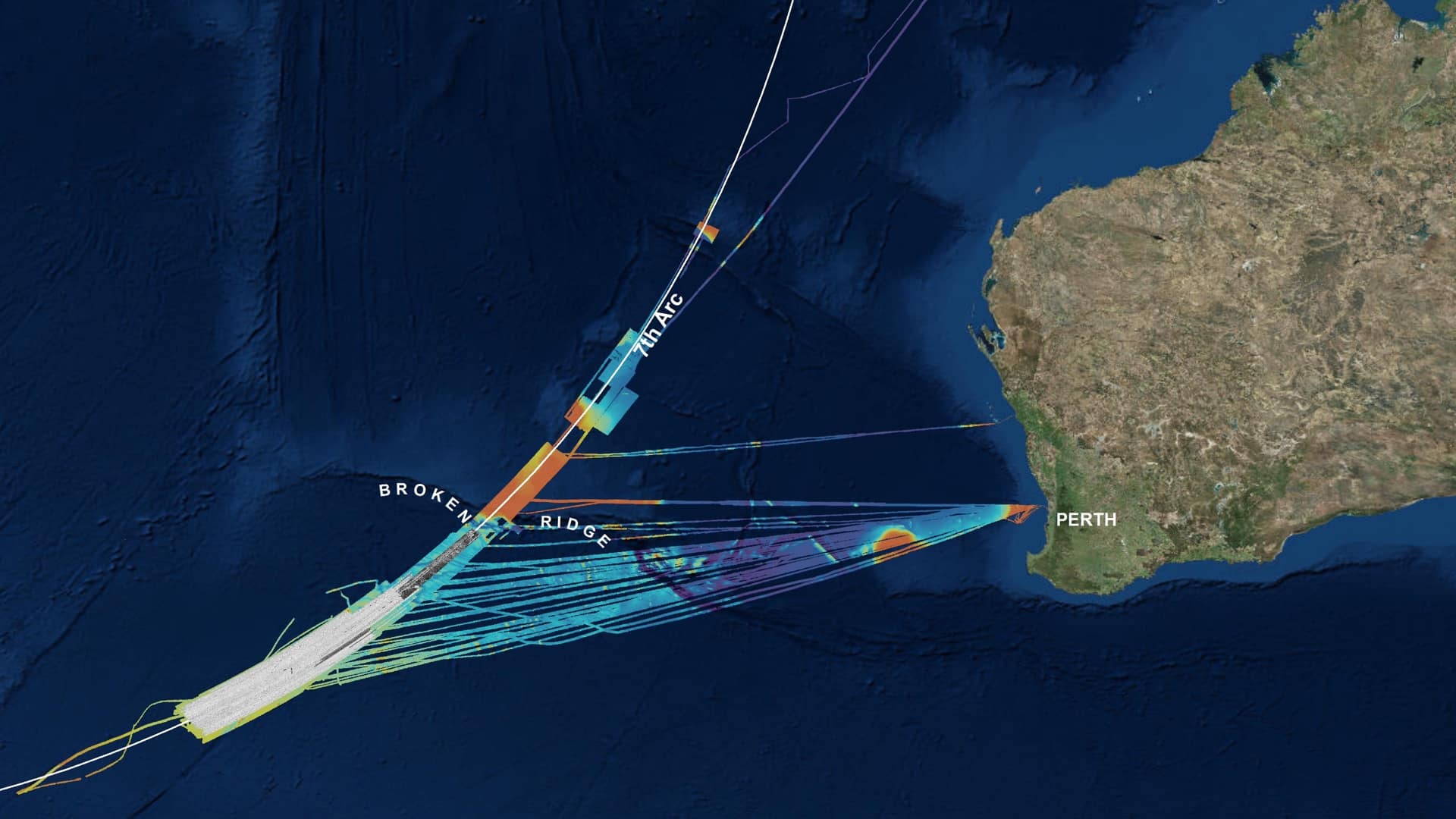
Geoscience Australia deployed location technology to search methodically for the missing Malaysia Airlines flight MH370 aircraft.
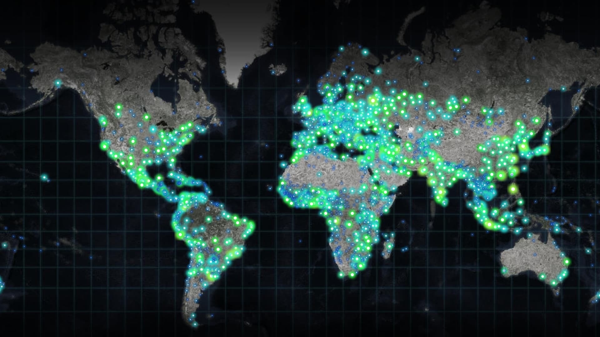
Increasingly powerful and insightful maps drive improvements in awareness, collaboration, and understanding.
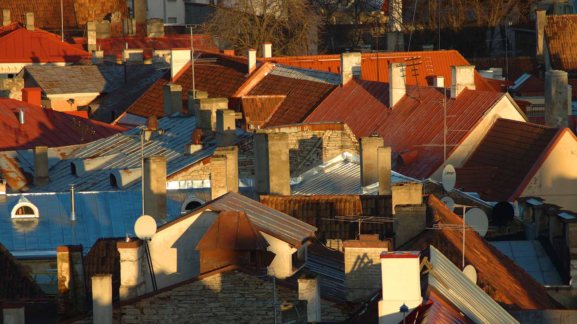
Knight Frank, a property consultancy, uses 3D models to envision rooftop development to help tackle London’s housing crisis.
How one executive threw open the doors to an IT unit and used GIS to integrate a company.
Though Nadika Senadheera sometimes ventures to dangerous places, her passion for GIS and feeding the hungry keeps her on the front lines...
Pinde Fu parlayed an early interest in web GIS into a career developing web mapping apps for Esri.
The first person to register for this summer's Esri User Conference leads an organization that uses cutting-edge GIS technology today.

Roxana Ayala’s exposure to geographic thinking helped her see inequities and focused her interest on public policy.
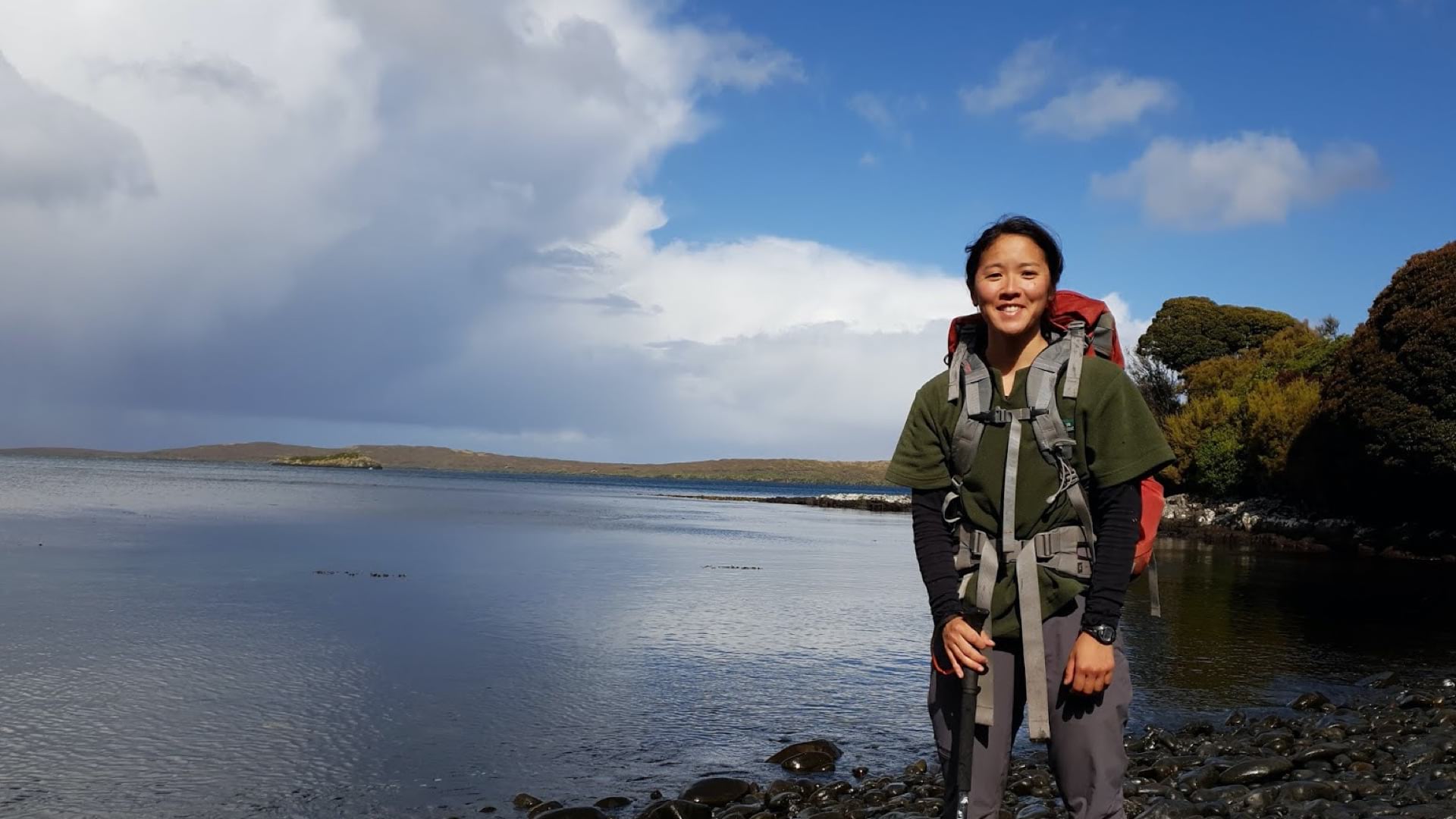
A young geospatial analyst with the New Zealand Department of Conservation tests strategies to catch wild cats destroying native species.

The combination of on-the-ground forest plot data from GIS and satellite data provides a whole new vision of the global forest system.

At Ingka Group, Claudia Blagu’s location intelligence skills promote sustainable forestry and the bottom line.

At real estate giant CBRE, an executive unlocked the potential of location intelligence, turning maps into stories that help close deals.