Companies today increasingly feel the need for both short-term and long-term planning–but few manage assets that must yield a return both in the next 140 days and in 140 years.
As the world’s biggest furniture retailer, iconic Swedish giant IKEA relies on more than 700 million cubic feet of oak, pine, birch, and beech every year—natural resources that take decades to reach maturity in tree form. Meeting that customer demand—which takes 1 percent of the global supply of harvested commercial wood—has an impact on the environment, leading the company and its associated businesses to focus on sustainable forestry practices.
Ingka Group is one of those companies. Ingka operates more than 80 percent of IKEA stores worldwide through its IKEA Retail division. A sister division called Ingka Investments maintains a portfolio of projects that support the core retail business, including digitalization technologies, renewable energy, and forestland.
Over the past five years, Ingka Investments has acquired swaths of forests in the US, Romania, and the Baltic region while bolstering the technology and planning capabilities needed to manage them. A portion of wood Ingka now owns ends up in furniture products, and the company’s sustainable forestry program supports the health of woodlands for future generations. Ingka’s leaders hope to set an example, showing that a healthy business starts with strong ecosystems and biodiversity.
A New Analyst for the Age of Corporate Social Responsibility
Location intelligence, an increasingly popular form of business intelligence, has played a pivotal role in Ingka Investments’ strategy for ecologically sound forest management. With a renewed commitment to corporate social responsibility sweeping across industries, companies are creating location intelligence through geographic information system (GIS) technology, with the aim of aligning profit with ethical duties to society and the planet.
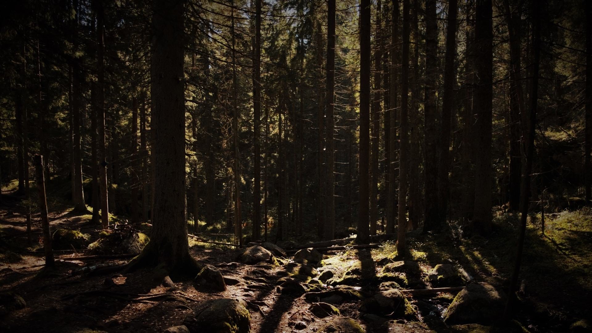
GIS-based maps help companies like Ingka Investments visualize and analyze their resources and create more efficient workflows without harming local communities. Visualization and analysis also support holistic thinking for large-scale systems like forests. From the small scale to the large scale, location intelligence plays a role in the company’s work—whether in tracking the health of tree and animal species, identifying areas vulnerable to invasive insects, or managing the complex dynamics of growth and harvesting over life-spans that stretch 140 years. (See image at right.)

“A picture is like a thousand words, but a map is like ten thousand words,” says Costel Bucur, forest land portfolio business risk and compliance manager at Ingka Investments.
The resurgence of corporate social responsibility has led to demand for a new kind of analyst, one able to use location intelligence to advance business aims in a way that complements the natural world. Filling that role at Ingka Investments is digitalization manager Claudia Blagu, who employs the predictive analytics and spatial understanding of GIS to support business growth while practicing sustainable forestry.
The forests Ingka Investments manages teem with life. The properties in Romania alone contain over 70 species of trees. Brown bears, wolves, and lynx cross paths on the woodland floor while black storks and golden eagles soar overhead. Rare orchids paint hidden slopes and endangered frogs dwell in the wetlands. Blagu monitors this rich biodiversity through aerial imagery and real-time mobile data uploaded to a GIS platform by field agents.
Her efforts to incorporate location intelligence into various workflows—combined with efforts by many colleagues—helped the company achieve Forest Stewardship Council (FSC) certification, the global gold standard in responsibly managed forests. The maps Blagu creates also prove invaluable for helping the portfolio risk and compliance team anticipate and plan for storms or invasive insect attacks.
She also employs location technology to match customer needs with stands of mature trees, guiding decisions about when and where to harvest those resources while protecting high-conservation areas and natural regeneration practices.
With her enthusiasm for smart maps as problem-solving tools and her deep belief in sustainability, Blagu finds solutions in location intelligence that serve both customers and conservation.
“In a non-GIS environment, it’s very time-consuming to gather all this data and put it together,” she says. “Nothing brings more value than a map because everything you do in a forest has a spatial component. You need to know the ‘where’ of what happens to take the best action possible.”

Before having GIS in forestry, people were using a lot of data simulation in Excel. When you put GIS and the prediction analysis into that equation, suddenly you have so many opportunities to actually create a good, manageable plan for your forest.
Finding Classrooms in Farms and NGOs
Blagu’s upbringing uniquely prepared her for a role that treats sustainable forestry not just as an exercise in compliance, but as a way to support the natural cycles of life.
Born in Romania at the tail end of its communist period, she spent her childhood in the country helping at her grandparents’ farm. Through chores like tending to the garden and feeding the cows, she gained an appreciation of the interconnectedness around her.
“You start to feel this dependency of different things in nature,” says Blagu. “You know that if you harm something, it will impact other things around it.”
In school, she developed an early interest in both physics and painting—directions that seemed incompatible until she discovered cartography, a discipline that seamlessly combines science and design. Blagu’s passion for geography led her to ask anyone going on a trip if they would bring back a map. It was her way of experiencing places she couldn’t visit in person—just as later in life, GIS would be her portal to vast forests she couldn’t monitor with her own eyes.
While earning her bachelor’s and master’s degrees in cartography at the University of Bucharest, Blagu began volunteering her GIS skills to NGOs and the World Wildlife Fund Romania. The experience of mapping rivers and analyzing data about watersheds proved to be an invaluable counterpart to her classroom education, connecting the dots between analysis and the needs of institutions. “I got the feeling for business needs—how to actually provide good input into the business.”
Joining Ingka Group in 2015 as the company was launching its ambitious sustainable forestry program, Blagu immediately applied her blend of GIS analysis and business savvy.
Biodiversity and the Bottom Line
Immediately upon investing in forests, Ingka Investments began preparing for the FSC audit. To run a forest in an FSC-certified way means respecting and mirroring the natural flow of a woodland. Managers must show they are supporting and protecting biodiversity, ensuring that the rate of harvest does not exceed the expected rate of long-term growth. Accomplishing all this requires accurate, up-to-date data and a sophisticated system for tracking, analyzing, and communicating the information.
By using GIS to manage data collected in the field, Blagu brought a structural approach to the effort, mapping all of Ingka Group’s forest holdings. These maps identified ecosystems and the various animal, plant, and insect species present in the woods, as well as the types of trees used for lumber and their readiness for harvest. Previously, such data might have been captured by paper and pen, then manually transferred to spreadsheets, where it might remain siloed or difficult to access.
“For me as a risk and compliance and sustainability manager, it’s basically the perfect fit,” says Bucur of working with Blagu. “We’re very lucky to have her. To merge all these types of data that are critical for the company and the business itself and find the best solution is not an easy task at all.”
Blagu’s location-based approach to sustainable forestry helped Ingka’s decision-makers see exactly how return on investment intertwines with long-term forest health. Weaknesses or imbalances in the ecosystem invite disease and reduce resiliency, which can result in the loss of product or even mass devastation. The population of wolves in a forest, for example, might not seem terribly connected to Ingka’s bottom line. Yet, when deer populations far exceed those of predators like wolves, the deer are more likely to feast on new tree seedlings. Bucur and other managers understand deeply that it’s better for the forests to naturally regenerate—it’s also healthier and cheaper. For instance, when there are too many deer, stifling the trees’ natural regeneration, the team has to replant trees themselves, which costs the company money.
With Blagu’s help, Ingka has employed location intelligence not just to analyze current conditions but to anticipate future threats. Over the past decade, the invasive bark beetle has been ravaging forests in Central and Eastern Europe, particularly spruce trees. Blagu developed a map that showed which areas of Ingka’s properties were most exposed—with two clicks, she was able to show colleagues on the risk and compliance team which properties were 90 or 100 percent spruce.
Once they had isolated the high-threat areas, they analyzed whether there had been previous incidents there. With that insight, they singled out specific sections for predictive measures, rather than blanketing areas with costly preventive treatments.

We have to be sustainable in every way. Do we always need to drive to the forest and spend the fuel? Or can [we] use some GIS solution to make the surveillance?
Modernizing an Industry That’s All about Growth
For veterans of the forestry profession like Bucur and Ray Raiesmaa, Ingka’s central forest operation manager, the GIS innovations an analyst like Blagu brings are a breath of fresh air in a field that can be slow to adapt. Raiesmaa recalls that 12 or 13 years ago, he was sent to conduct a forest inventory equipped only with a printed aerial photograph marked up with white pencil, a roadmap, and a compass.
“Today, I’m not sure I would dare do that,” he says, laughing. “I had the constant fear that I would be lost.” With the help of mobile technology working in tandem with GIS, he can find his way in and out of properties safely and update data or delegate work straight from his smartphone, marking precisely where a service provider’s task lies.
Every time fieldworkers conduct maintenance activities or perform an inventory—measuring tree heights, diameter, density, and soil conditions of sample plots—they log their data in the system. Blagu then creates maps that deliver the data in visual form (see image at left). Aerial and drone-captured images complete the picture, helping Ingka forecast growth patterns and plan for customer demand.

Raiesmaa hopes that Blagu’s location intelligence work will streamline the sales side of his job, allowing his team to align harvest-ready tree stands with the needs of customers. He can enter the species or parameters of timber he’s searching for, and the map will show which compartments are the best matches. It’s a quick visual data solution that allows him to tell customers how much of a desired assortment he can deliver this year or in six months, while keeping the focus on sustainable forestry.
“GIS really helps me to be a good client for the customer,” he says. “Data means everything for us. It’s our power to be precise with the planning. And if you are precise with the planning, then you are better with the actual operations.”
Similarly, Bucur appreciates how Blagu uses the GIS platform to improve business workflows, speeding and unifying data entry. While he had gotten accustomed to writing in answers on data forms, Blagu suggested an upgrade. If he input all possible answers for each prompt, she could create digital pull-down menus to speed answers and make the data consistent.
“This is the kind of input I need from an analytical GIS person like Claudia,” says Bucur. “With Claudia, it’s easier, faster, and smoother, and just better because of the ideas she comes up with.”
The Future of Sustainable Forestry
For the new analyst role Blagu exemplifies, the key to predicting what will happen starts with figuring out where. It’s how she can advise those who oversee the forestland portfolio on what production might look like 10 or even 100 years out, based on data collected today. Other companies might operate on shorter time horizons, but it’s increasingly clear that location intelligence adds valuable insight to all levels of planning for business and environmental resiliency.
Blagu hopes in the future to focus Ingka’s location intelligence and forecasting efforts on climate change, by measuring the company’s carbon footprint and analyzing how the acres of trees it plants contribute to a stronger planet for years to come.
“It’s a way for us to be ambassadors of the sustainable way of managing forests,” says Blagu, “but at the same time, [manage] our business decisions and how we secure resources.”
The Esri Brief
Trending insights from WhereNext and other leading publicationsTrending articles

December 5, 2024 |

January 6, 2026 |

March 3, 2026 |

March 31, 2026 | Multiple Authors |

July 25, 2023 |

February 17, 2026 |