displaying 4366 results
The US Census Bureau used GIS to develop a web mapping app that identifies areas with households typically hard to count during the census.
The North East Link Authority and GHD Digital in Melbourne, Austrialia, created an Esri Story Maps app to show the public a freeway plan.
The Andean Alliance for Sustainable Development, working with volunteers, is using GPS, Collector for ArcGIS, and ArcGIS Online to map trails...
New content was just added to the World Topographic Map, which is seen by more than one million viewers daily.

States are set to receive funds to repair aging infrastructure, and Virginia is ready with a detailed list of priority projects.

The Trust for Public Land partners with cities nationwide to transform vacant land into parks, always factoring in equity.

Orange County, California, has one of the most innovative local government GIS implementations.
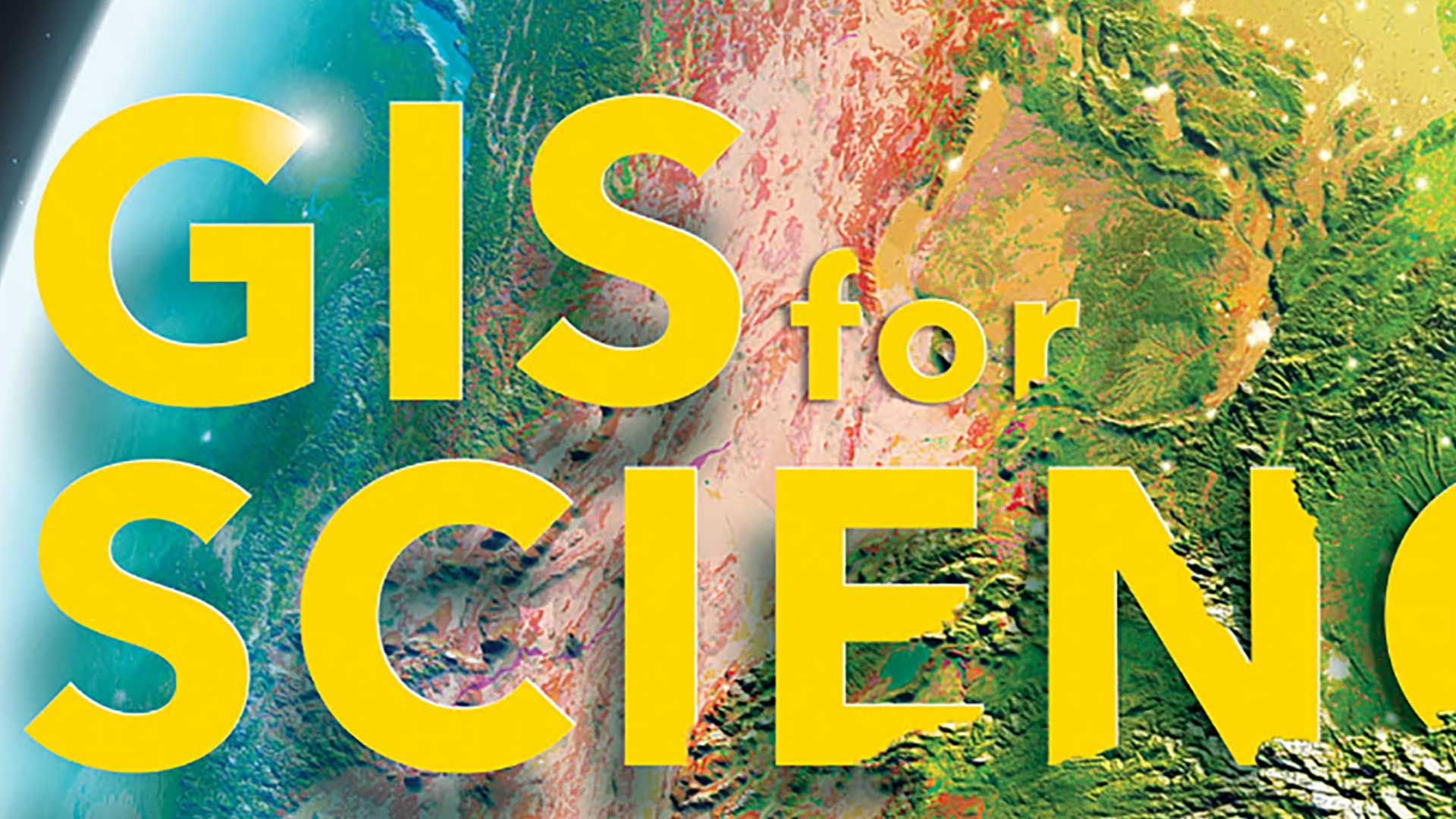
The GIS for Science series, published by Esri Press, illustrates how GIS is being applied to scientific research.

Chatham County, North Carolina, created an all-in-one solution for its tax department’s recent real property tax reappraisal process using GIS.

Sid Pandey shares tips on taking charge of your career and raise your profile.

The W. P. Carey School of Business at Arizona State University (ASU) is expanding its location analytics courses.

Researchers are using GIS to more effectively site tracking stations that gather data on migratory birds to help reverse population decreases.